Biassa is situated in the hinterland of La Spezia at an altitude of 315 m and is easily accessible by car (take the La Spezia exit off the [A12] motorway and then head towards the Cinque Terre; once you’ve passed through the town, follow the road uphill and, just before a tunnel, keep right towards the village – it’s quite easy to find a parking space).
Introduction
Beyond the Cinque Terre.
Description
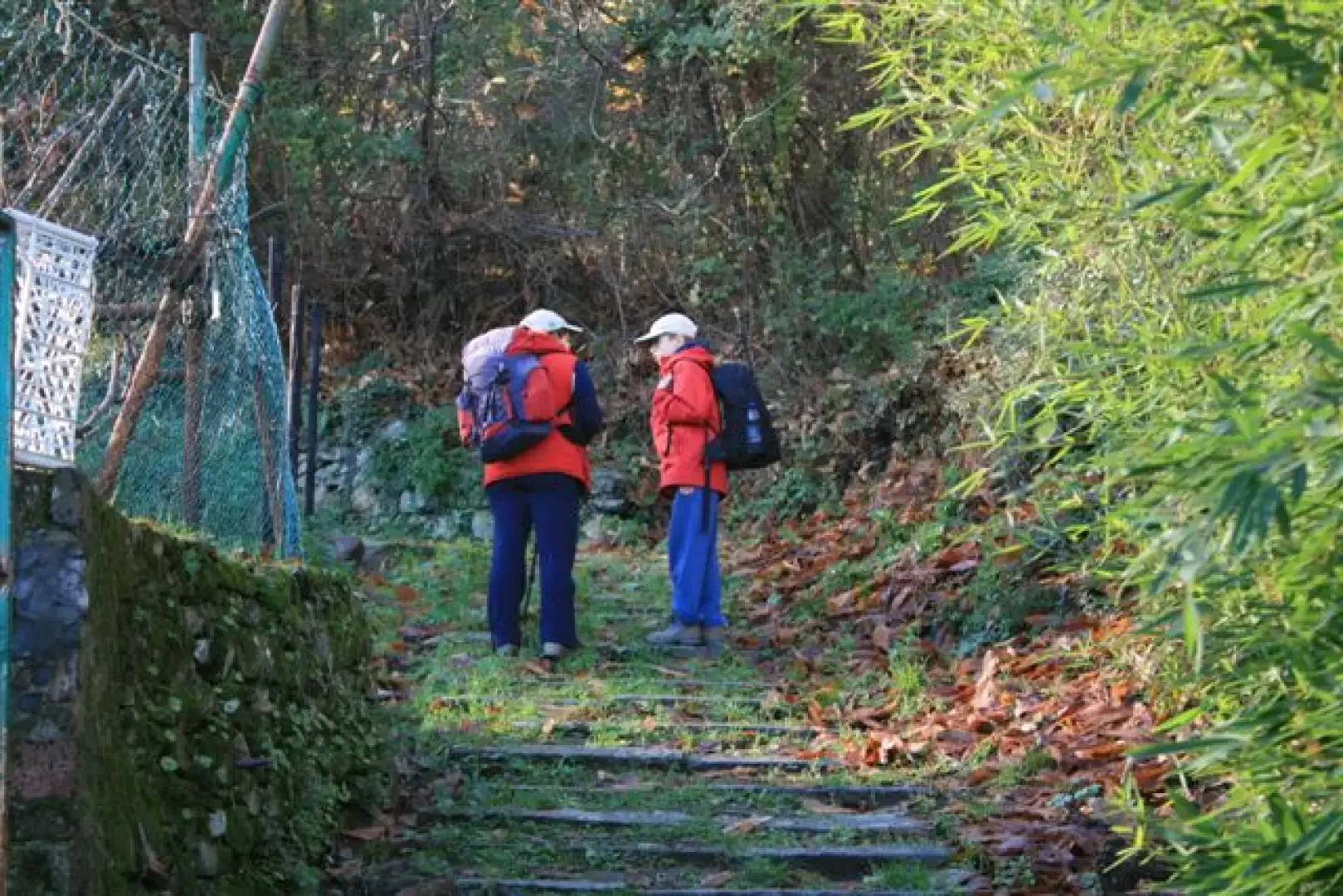
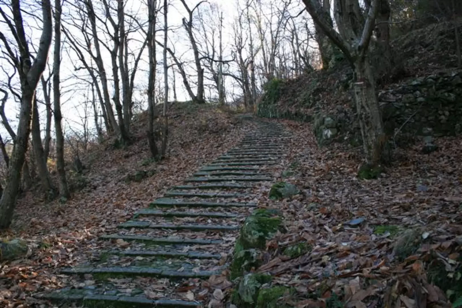
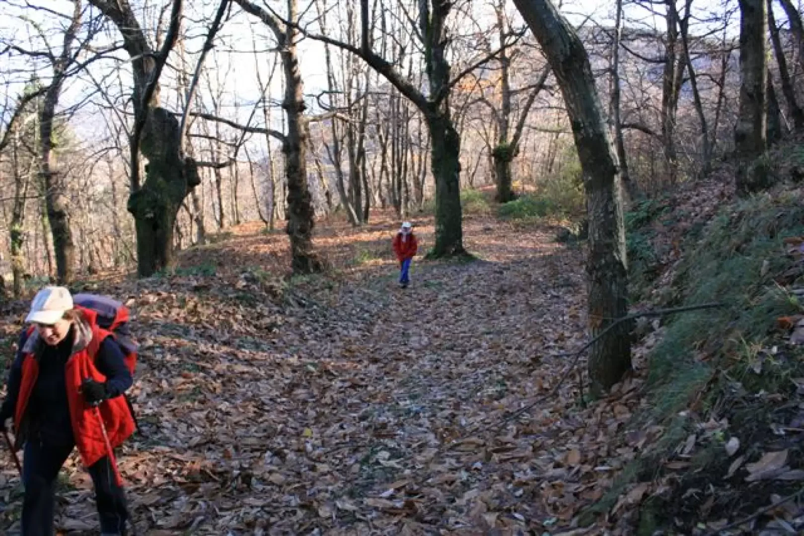
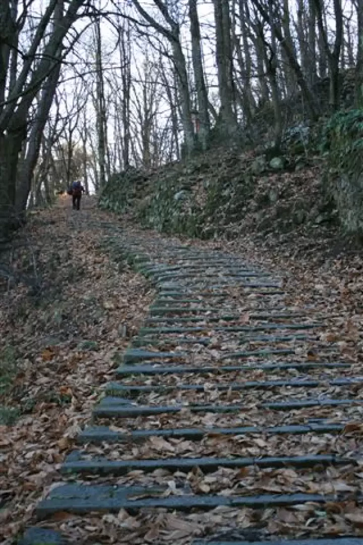
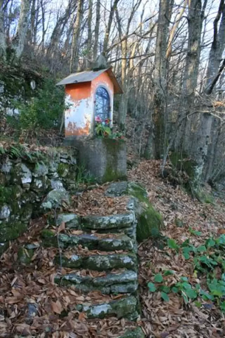
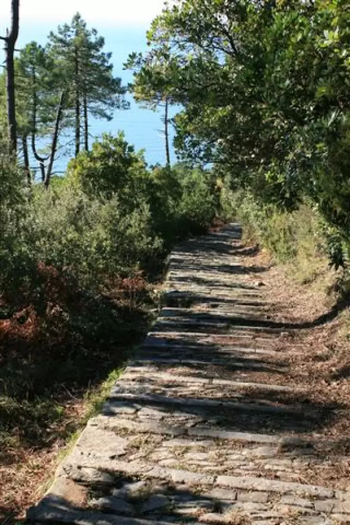
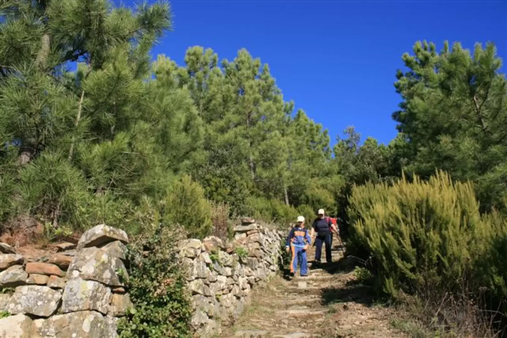
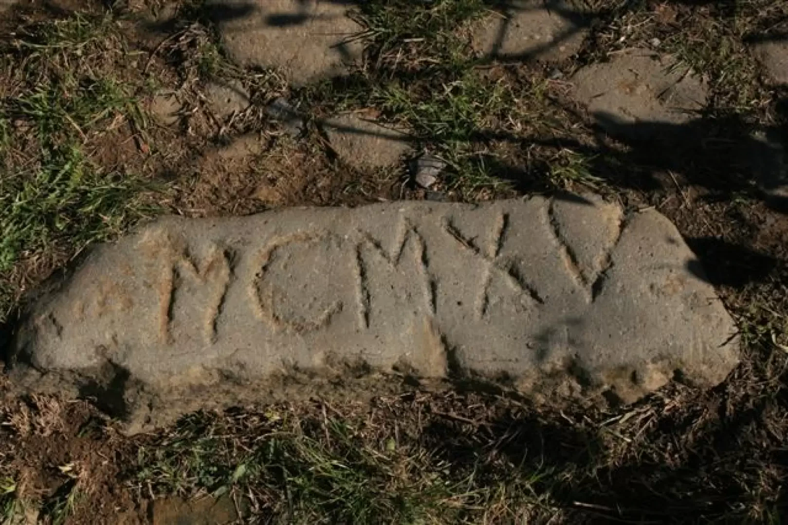
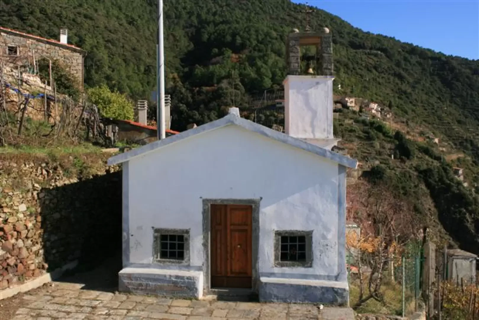
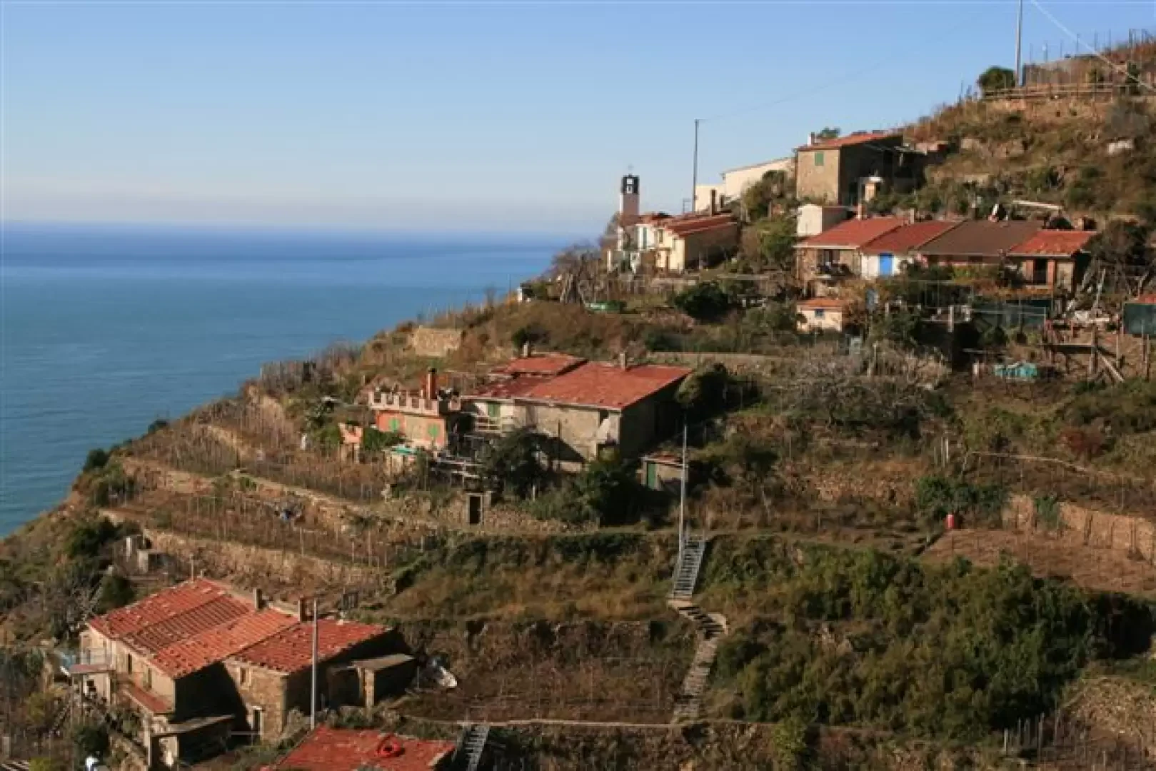
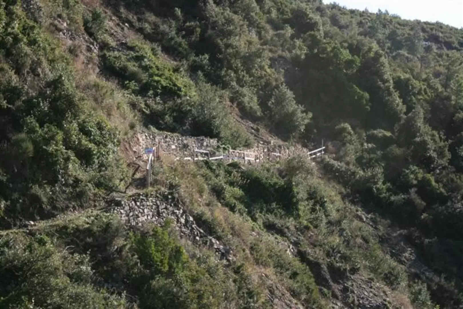
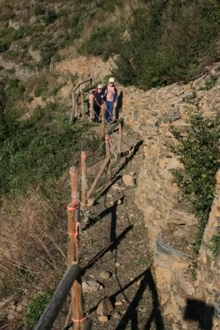
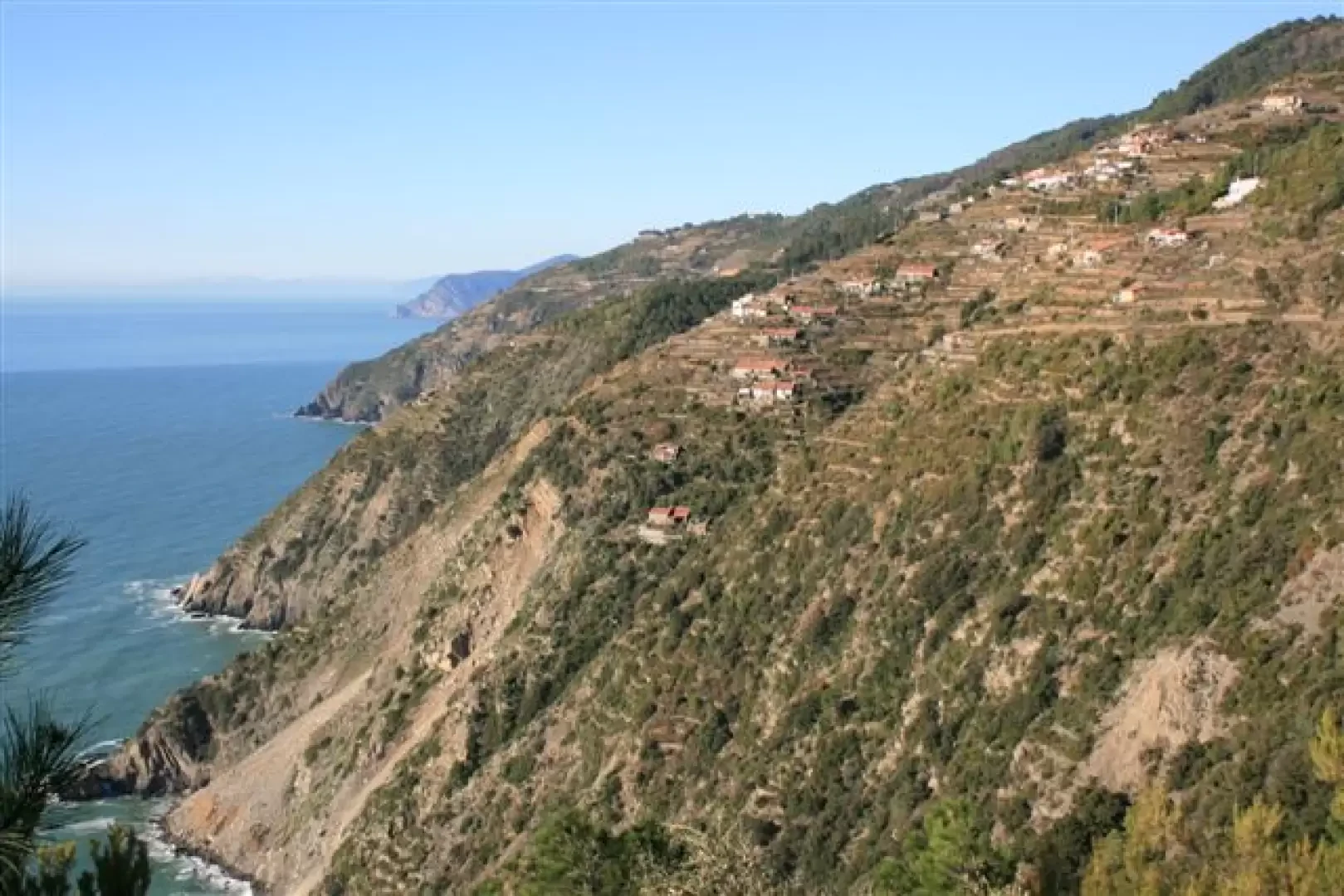
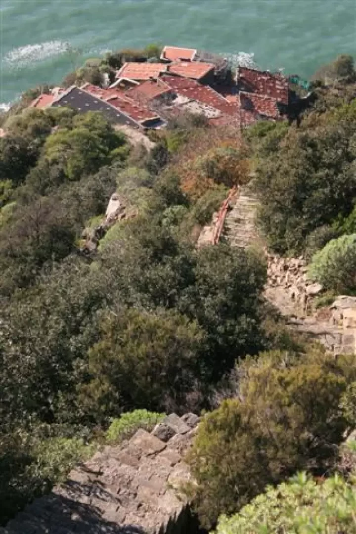
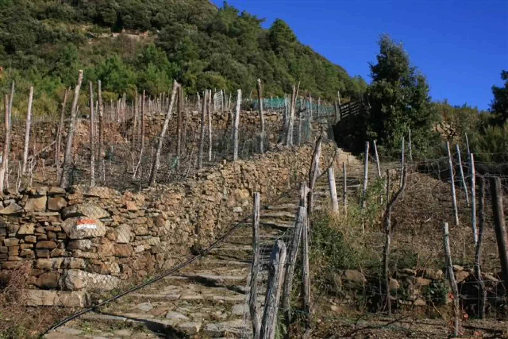
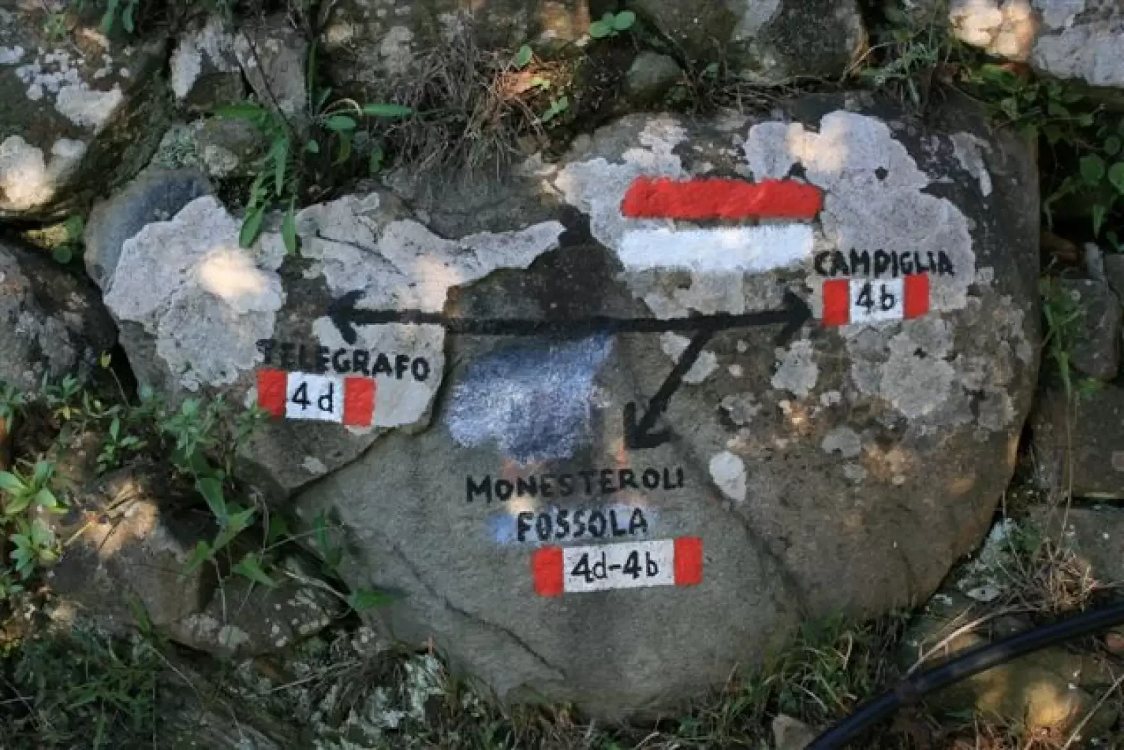
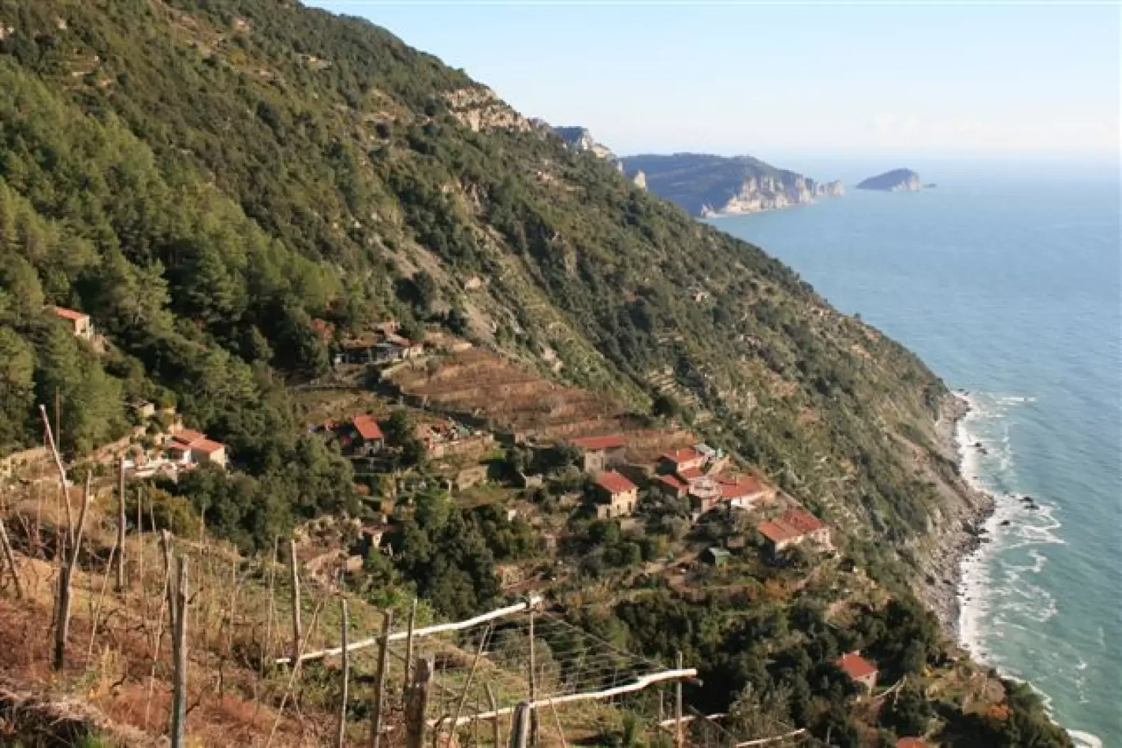
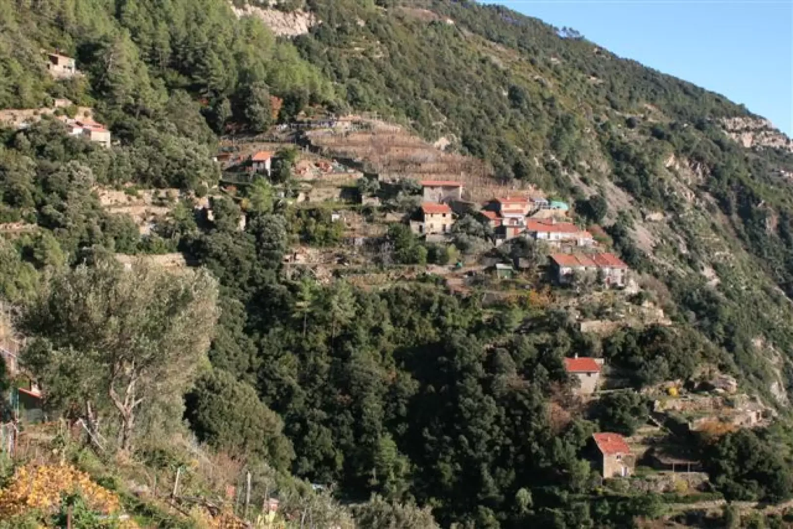
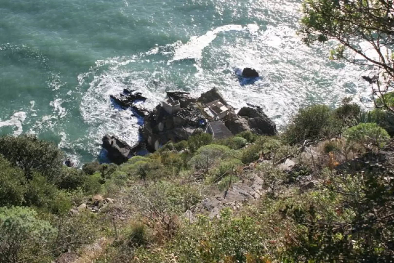
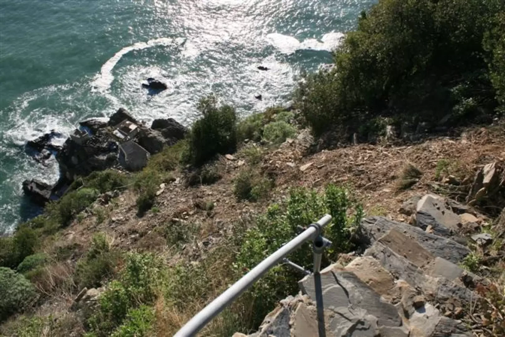
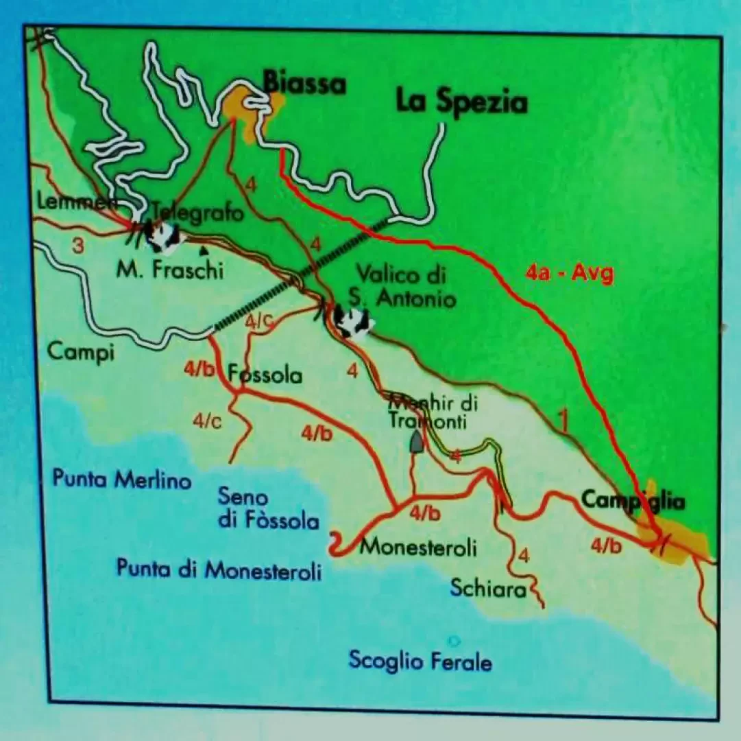
The route starts from Via delle Polle, following trail marker , which leads into the chestnut grove. As it runs along the northern slope, it is, given the time of year, very damp and cold… The stepped cobblestone path is very well preserved and follows the route all the way up… You reach the S. Antonio pass at 509 m, where you leave the trail (at the junction, turn right towards Riomaggiore for a few dozen metres, then left downhill) and find the , which descends via steps During the descent, you can see how the stonemasons have carved the dates… one reads … 1915… You reach the Church of the Guardian Angels in Fossola (236 m) – what a shame it’s closed! From Fossola, take the . This is a path that was impassable for several years; it has now been partially restored, but the landslide is still there, so further work will be needed, otherwise the route will once again become impassable. The fence is, in fact, already damaged and a sign from the Park Authority rightly prohibits passage in adverse weather conditions… You pass above Monesteroli! Hundreds and hundreds of steps down to the sea! The view is stunning, stretching from the Fossola coastline (ravaged by landslides) all the way to Punta Mesco and Portofino, with a glimpse of snow on the Ligurian Alps; on the other side, you can see Tino Island and the Portovenere coastline. You then turn onto , leaving the tarmac road after passing a spring, to descend to Schiara (a beautiful but strenuous detour: at the next junction, leave the road and take the track on the left). There is the little church of St Anthony of Padua in Schiara; this too is closed, but you can take a photo through a grille. The descent is steep and the cove lies at the bottom of the steps… which cannot be reached safely, given yet another landslide… You can also see the Ferale rock, named after an officer who died during a survey in 1911. You then reach Campiglia (400 m) by retracing your steps back to the tarmac and rejoining the 4b trail; the Church of St Catherine is well worth a visit. You then return to the northern slope at Biassa (4a and AVG), crossing two saddles (from the second, ‘Gerisola’ at 496 m, you descend via some rather slippery stone steps)
Route details: Biassa – S. Antonio Pass (no. 4 – 40 minutes) / S. Antonio Pass – Fossola (no. 4c – 30 minutes) / Fossola – Monesteroli junction (no. 4b – 45 minutes) / Monesteroli junction – junction for Schiara (no. 4b – 30 minutes) / junction for Schiara – Campiglia (no. 4b – 30 minutes) / Campiglia – Biassa (no. 4a or Avg – 75 minutes).
Total elevation gain, including the various ascents and descents, is approximately 450 metres, for a walking time of approximately 4h – 4h30m.
Any detours at Schiara or Monesteroli involve, for each one, a further elevation gain of approximately 300 metres and an additional walking time of almost 2 hours for each detour.

Comments (0)
Sign in to leave a comment