Sentiero Verdeazzurro: from Santa Margherita Ligure to Zoagli


Edited by:
Maurizio Loconti
Updated at: 03/11/2025
Access
By car, exit Rapallo from the A12. Head for Santa Margherita and look for the car park near the Church of San Siro (parking for residents only at night).
Introduction
The VerdeAzzurro is a classic half-hill route with several ups and downs, always very beautiful.
Description
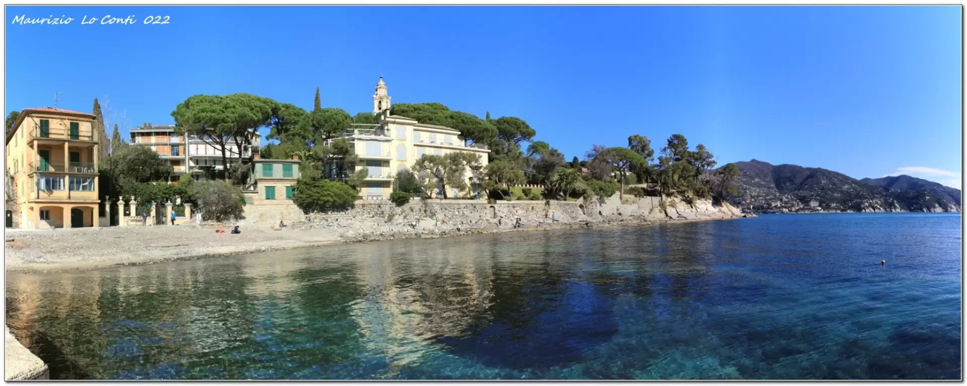
We head towards the railway station and, immediately afterwards, a flight of steps begins to gain height on the left. After it flattens out, you keep to the right and at a fork in the road you turn and end up in front of the Church of San Michele. From the religious building, descend to the right to Prelo beach. Here we try to walk along the Federico da Pagana promenade. Unfortunately, one of the many devastating sea storms of the last few years has destroyed it. With the right amount of stubbornness and the necessary caution, one overcomes the difficulties caused by the fact that the road no longer exists by jumping over the various rocks...
(NB: if you don't want to face it, then from the church you have to descend to the left).
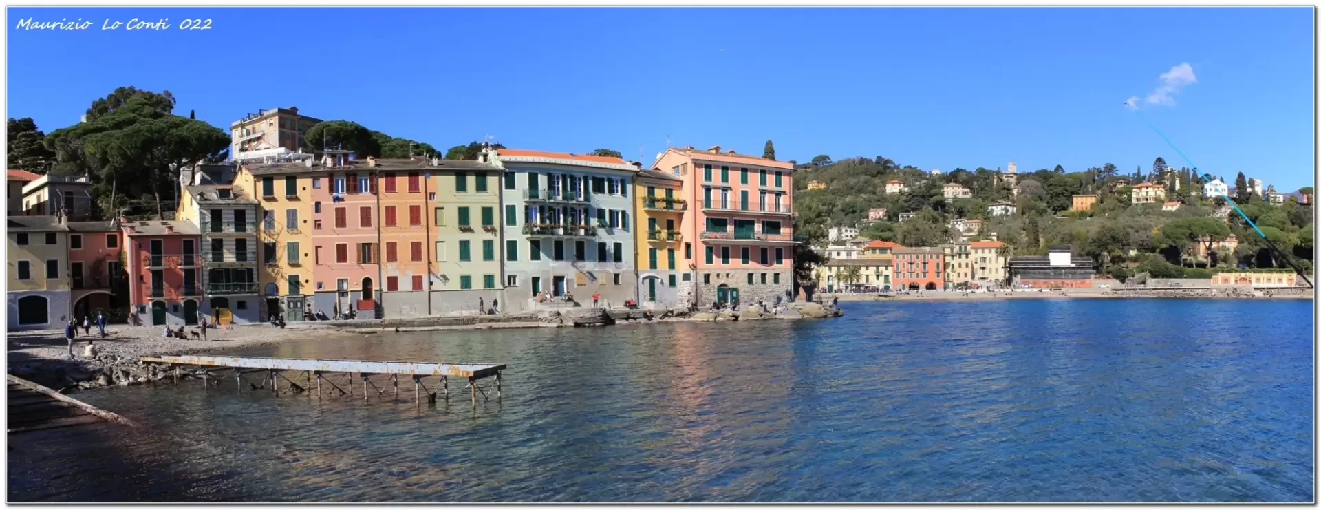
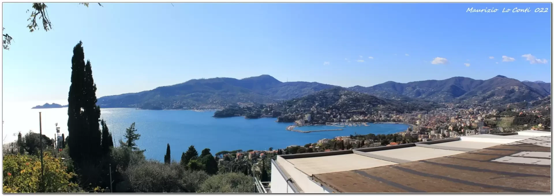
Finally, you come out first from the Travello shoreline and then from the San Michele di Pagana shoreline. From the post office, the road climbs until it touches the Aurelia and the San Nicola chapel, immediately beginning to descend towards Rapallo. Having passed the old Hannibal bridge, one enters the town. From the seafront, one faces Via Avenaggi and then Via Casale. After crossing the Aurelia, a pair of old tourist signs (brown with white lettering) suggest the exact ascent to the church of Sant'Ambrogio (ideal for a rest).
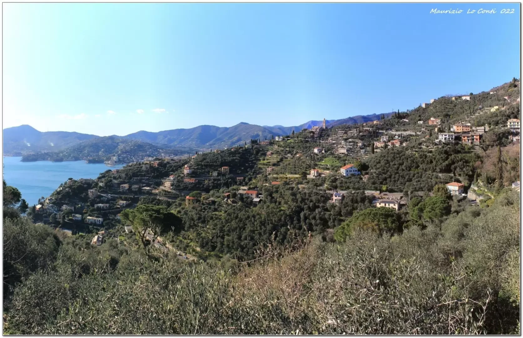
The road starts up again and it is hard to understand why the signpost invites you to take the road open to cars when, just below, there is a quieter lane... further on, you come to the little church of San Pantaleo. Behind, the path drops and from a hairpin bend you choose to go straight instead of curving to the right. The track is almost level and passes a small religious building, where you descend to the right on steps to the Aurelia. Having passed the road carefully, you descend to the village of Zoagli at the end of the stage. Return by train in 8 minutes.
In summary. Dif. T/E, except for the section over the rocks which is more difficult but avoidable - disl. +320 m - 12 km x approx. 3h30h Tot + all the breaks to see the various places. Walking comfort: sufficient. Best period: from autumn to spring. Weather: excellent, just a little cool, but not cold. Tour interest: medium/high
.
Previous in the area; Pdf files and single shots:
12th line of http://www.cralgalliera.altervista.org/altre2015.htm
If you want, here is the pdf file photo, with a bit more:
http://www.cralgalliera.altervista.org/VerdeazzurroSantaRapalloZoagli022.pdf
http://www.cralgalliera.altervista.org/anno2022.htm
http://www.cralgalliera.altervista.org/altre2022.htm
NB: in the case of an excursion, always check with FIE, Cai, any park authorities or other institutions, pro loco, etc, that there have been no changes that have increased the difficulties! No liability is accepted. The present text is purely indicative and not exhaustive.
Info Hiking Section Cral Galliera: http://www.cralgalliera.altervista.org/esc.htm
Trips 2022 at the link: http://www.cralgalliera.altervista.org/gite022.pdf
Galleria fotografica