Camino Francés de Santiago from Sarrìa to Portomarin


Edited by:
Maurizio Loconti
Updated at: 01/11/2025
Introduction
The devotional route has several possibilities and the so-called 'French' route starts in the Pyrenees. In the summer of 2022, the last six stages were covered, arriving in Santiago... below is a summary description of the first one.
Description
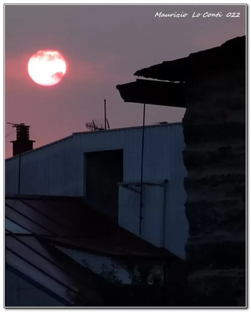
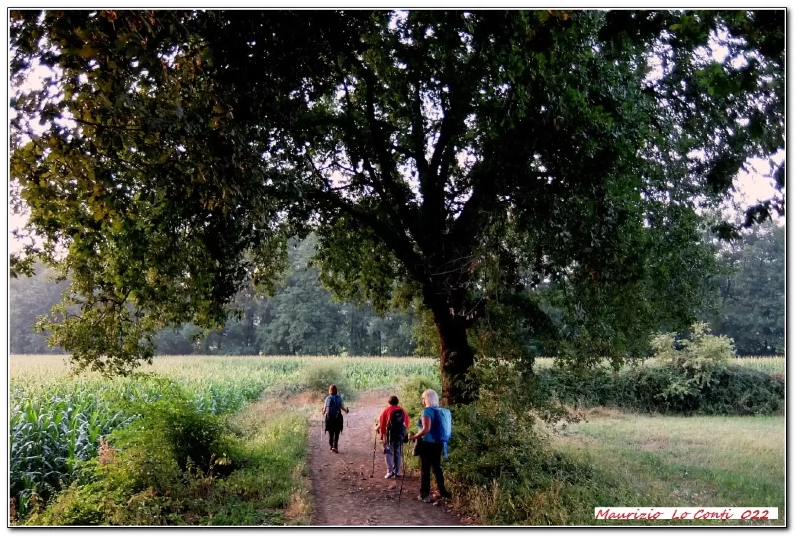
The departure on foot from Sarria is at 8 a.m. The chapel of San Lazzaro is skimmed by, with the sun rising over the horizon, and, next, there is the Hostel Monasterio de la Magdalena. We descend, intercepting the first pylon of the Camino: it marks 113.460 km to Santiago and it is 8.20 a.m. After passing a bridge of medieval origin (Áspera), chestnut trees with trunks of considerable size stand out. You cross an open area and there is a short diversions to the left to the church of Santiago de Barbadelo. Only when you reach Morgade, there is a nice fountain to refresh you! The only one of the day fully in operation! At 12.40 p.m., there is the 100 km pylon at Santiago! We notice several horreos (ingenious rural 'antitopo' constructions to store grain) and the forest is cool. Lunch break is at the elegant Mercadoiro Albergue & GastroBar. The place is pleasant and comfortable. We set off again, after an uncovered stretch that is therefore warmer, Portomarin is finally evident! The milestone marks 92.231 km. After passing a 350 m viaduct over the reservoir/river area, the stairway leads to the new town and the Pousada de Portomarin hotel.
In summary. from hotel to hotel: 23.1 km, approx. 7h walk + 2h break, 3.3 km/h, 320 m asl.
Pdf file with many shots:
http://www.cralgalliera.altervista.org/VacEst022E.pdf
Other holiday files with photos and various info: http://www.cralgalliera.altervista.org/SantiagoBuenCamino022.htm
Approvided on pages 1 and 2 of http://www.cralgalliera.altervista.org/65.pdf
NB: When going on a trip, always check that there have been no changes that have increased the difficulty! No liability is accepted. This text is purely indicative and not exhaustive.
Info Hiking Section Cral Galliera: http://www.cralgalliera.altervista.org/esc.htm
trips 2022 at the link: http://www.cralgalliera.altervista.org/gite022.pdf
General information
Signposts: yellow arrows and milestones, very numerous
Type of route:crossing
Recommended period:May, June, July, August, September, October
Exposure to sunshine:
Galleria fotografica