From Bavari to Bogliasco


Edited by:
Maurizio Loconti
Updated at: 22/03/2026
Access
From Sturla, with the Amt lines, go up to Bavari.
Introduction
BaBo. From Bavari to Bogliasco: a crossing from the hinterland to the sea...
It is, perhaps, one of the most unusual routes on the heights of the Levante genovese, a stone's throw from the town, but, at the same time, distant and somewhat convoluted in its development, finally ending at the seashore... For logistical reasons, we choose the route between Bavari and Bogliasco, which, moreover, is easier, with a lower uphill gradient of about 300 m, and, therefore, usable by a greater number of users.
Description
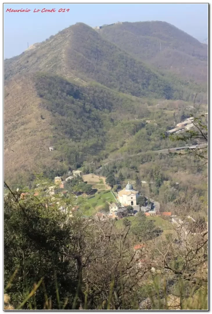
After the bus ascent to Bavari, we head towards Monte Fasce without reaching it. Initially, you gain height to pass the Riega, Proi and Bastia mountains in succession (848 m, the highest point of the day). In the central part, we insist for a stretch on Provincial Road No. 67 del Liberale, which has little traffic, but beware of motorbikes that sometimes whiz past... We skim past Mounts Cordona and Rotondo and, from a car park at Bocchin di Pozzuolo, descend towards the coast. You pass near Santa Croce and continue to lose altitude until you reach Bogliasco. The best time of year is from late autumn to early spring, on a fine day that Liguria often offers, but the length of the route is not trivial... it is better not to start late in the morning, when the hours of daylight are reduced... +600 m -900 m, average diff., about 5h15 of walking, return home with the Amt lines near Capolungo or with the train from Bogliasco.
If you want here is the pdf photo file, with some other news:
http://www.cralgalliera.altervista.org/BaBoGitaBavariBogliasco019.pdf
Trip summary: http://cralgalliera.altervista.org/BavariBogliasco019.pdf
http://cralgalliera.altervista.org/altre2019.htm
http://cralgalliera.altervista.org/anno2019.htm
NB: in case of a trip, always check with FIE, Cai, eventual Park Authority or other Institutions, pro loco, etc., that there have been no changes that have increased the difficulties! No liability is accepted. The present text is purely indicative and not exhaustive.
Info Hiking Section Cral Galliera: http://www.cralgalliera.altervista.org/esc.htm
trips 2019 at link: http://www.cralgalliera.altervista.org/gite2019.pdf
General information
Signpost: partial marking Fie
Type of route: traverse
Recommended period: October, November, December, January, February, March, April
Sun exposure:West
Objective hazard:none
Exposed sections:none
Useful equipment:normal daily hiking equipment
Water:
Galleria fotografica