From Torriglia to Scoffera, via Marzano


Edited by:
Maurizio Loconti
Updated at: 02/11/2025
Access
For purely logistic reasons linked to the timetables of the very few buses available, we choose to leave the car at Scoffera (from the Val Trebbia state road 45) and take the public transport to Torriglia (cost 1.8 €, from the newsagent's shop open on holiday mornings). You take the means of transport which theoretically should pass at 9.34, but ATTEntion, it actually passes almost 10 (ten) minutes earlier! Luckily you have already been at the stop for a while and there are no problems. You get off just after the Coop and a petrol station and before arriving in the village centre (764 m).
Introduction
From Torriglia to Scoffera, via Marzano
This excursion makes it possible to cross a whole series of villages, otherwise unknown to most people, and this increases the interest of the excursion. The Park Authority brochure states that "The Torriglia ring is an itinerary of about 22 km, ... with several junctions that allow it to be used also for shorter stretches." Precisely with this in mind, the West side from Torriglia to Scoffera is covered (after having done the North side - http://www.cralgalliera.altervista.org/Torriglia016.pdf - and, partially, the East side - http://www.cralgalliera.altervista.org/Lavagnola017.pdf).
Description
From the public transport vehicle, take a left onto a branch road leading to various hamlets (Pietra, Vignale, Porcarezze, etc.). Re-join the tarmac road and continue as far as the signposted diversions that leaves the road to turn left. You thus gain height in the forest, as far as Panteca (993 m). Here, turn left onto the specific marking of the Torriglia ring. We lose altitude on a wide mule track passing by the hamlet of Marzano (825 m) and passing the tiny hamlet of Piccola Torriglia and the former mill of Zane (599 m). There is a new park board and one must descend left to the three-nave stone bridge over the Siginella stream. Next, there is an ascent through the woods that leads to the locality of Castellà (622 m). Here we decide to take a break (tot. 2h45).
We descend to the hamlet of Laccio (590 m) and cross the river on a footbridge, but the signs... disappear. You must immediately turn right, threading your way between houses. Beyond a small bridge, the path is more evident and at the various forks, always keep to the left as far as Tercesi. Continue as far as Scoffera (664 m - tot. 1h).
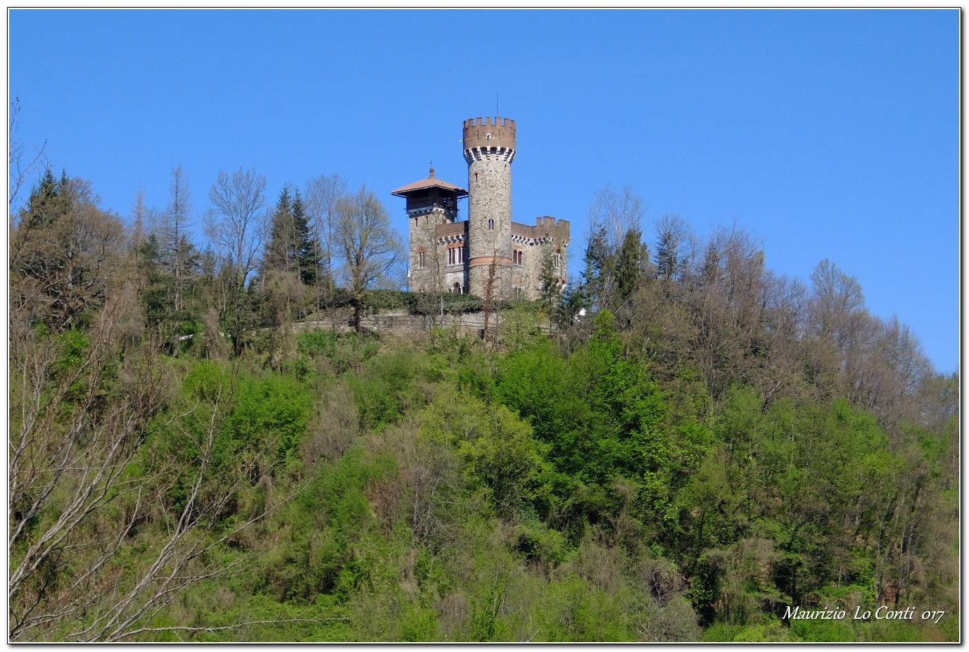
In summary: Torriglia - Cappella della Panteca - Marzano - Piccola Torriglia - Ex mulino di Zane - località Castellà - Laccio - Tercesi (castle of the same name, here incorrectly named: http://www.cralgalliera.altervista.org/1704B1CastelloDiLaccio.jpg) - Scoffera.
All in all: good weather, a little cold in the morning, Diff. E, +350m asl, 3h45 tot. (+45' lost at the various forks!)
If you want, here is the pdf photo file, with a bit more news:
http://www.cralgalliera.altervista.org/TorrigliaScoffera019.pdf
http://www.cralgalliera.altervista.org/anno2019.htm
http://www.cralgalliera.altervista.org/altre2019.htm
NB: in the case of an excursion, always check with FIE, Cai, any park authority or other institutions, pro loco, etc., that there have been no changes that have increased the difficulties! No liability is accepted. The present text is purely indicative and not exhaustive.
Info Hiking Section Cral Galliera: http://www.cralgalliera.altervista.org/esc.htm
trips 2019 at link: http://www.cralgalliera.altervista.org/gite2019.pdf
General information
Route:
Signposts:Trails with markings Fie
Type of route: traverse
Recommended period:
Sun exposure: January, February, March, April, May, June, July, August, September, October, November, December
Objective Danger:none
Exposed Tracts:none
Useful Equipment:normal daily hiking equipment
Water:
NB:The above map is only of a generic type, just to give a rough idea of the route
Galleria fotografica


