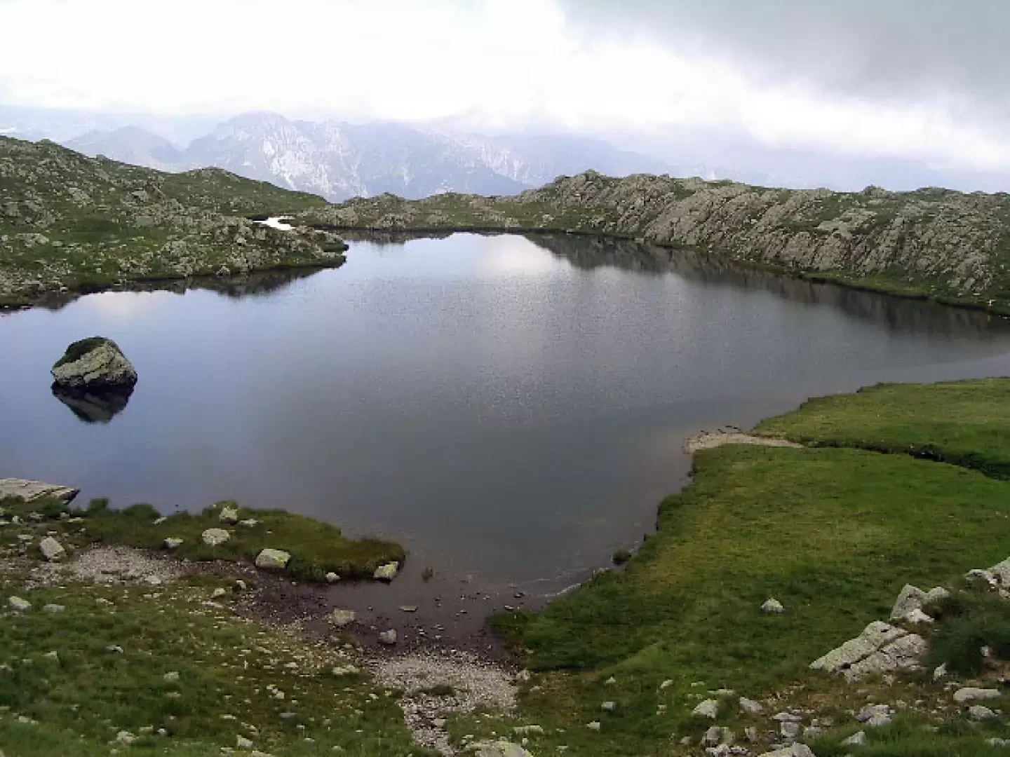
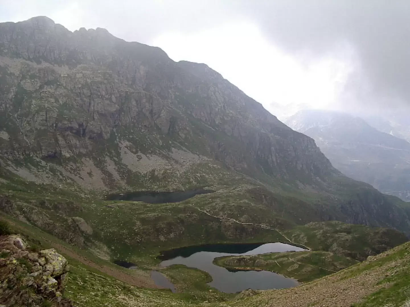
Ponteranica Lakes, from Piani dell'Avaro


Edited by:
ms.srl
Last survey: 11/07/2008
Updated at: 22/09/2024
Updated at: 22/09/2024
Length
0.00 Km
Departure altitude
1702 m
Arrival height
2115 m
Positive difference in height
413 m
Round trip time
01h45'
Return time
01h15'
Recommended period
Description
The path starts at Piani dell'Avaro, near the hotel (1702m). You walk along a flat dirt road which you leave to climb the slope (northwards) to an altitude of about 2050m and cross path [101]. Continue to the left (west) and, after a short time, leave path [101] to ascend to the right to the little mouth (around 2200m), which is located just below the summit of Monte Triomen. We descend on the other side, shortly reaching the Ponteranica Lakes (2115m).
Galleria fotografica
© 2021 -
© 2008 -
© 2008 -
© 2008 -
© 2008 -