Refuge Baita Adamè, from Malga Lincino


Edited by:
Maurizio Loconti
Updated at: 01/11/2025
Access
At Cedegolo, you enter the Adamè Valley. The very narrow road climbs up to Malga Lincino (1,620 m), where you park.
Introduction
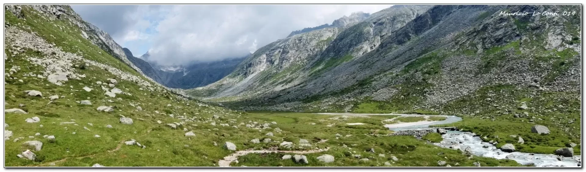
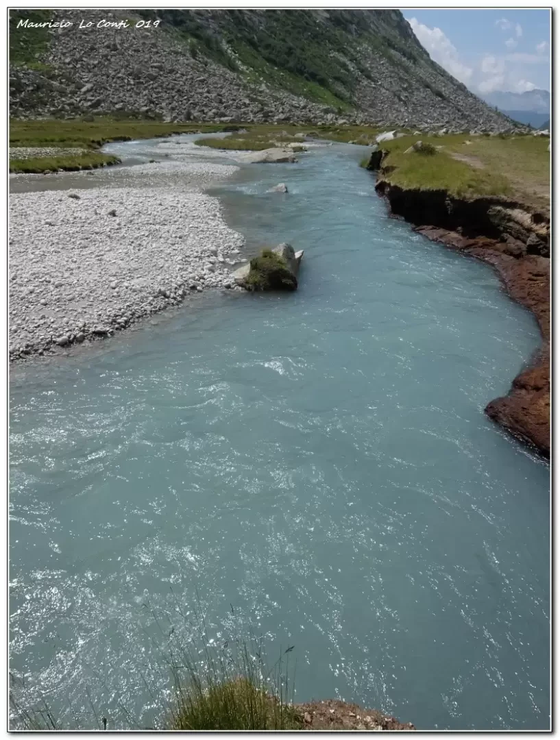
The colour contrasts of the stream are remarkable. The valley is U-shaped, due to the erosive action of the glacier in the past.
Description
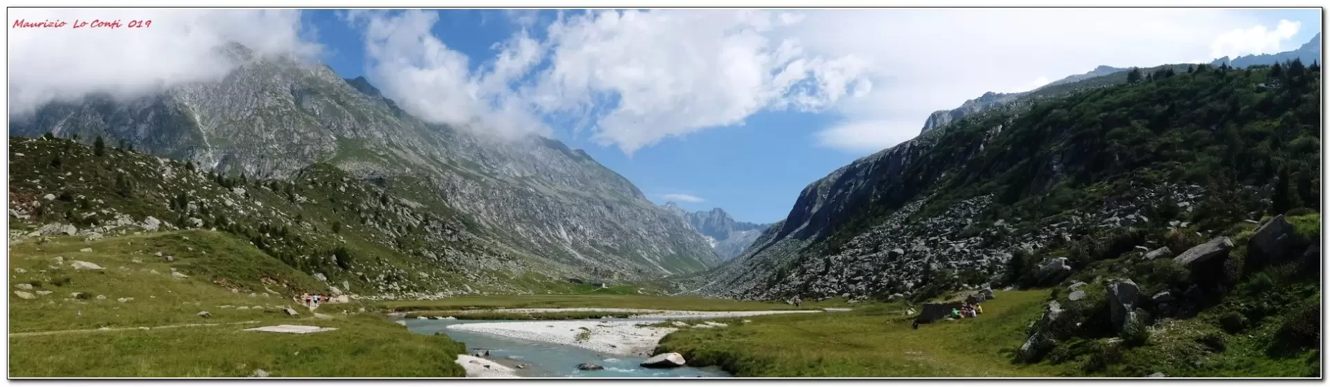
The first section is the steepest and is called the 'Scale dell'Adamello'. You arrive at the Città di Lissone refuge 2,020 m. Here there is a plain, with the Poia stream winding its way. With a route that is essentially almost flat, but a little uncomfortable to cross, you arrive at the Adamè hut 2,150 m.
The return journey is along the same route as the outward journey.
All in all: a discrete day's climb, difference in altitude of 530 m Dif. E for about 4h30 Tot. (2h30 and 2h ret.) + all the breaks to see the various places that you encounter. Average comfort: poor until the first refuge, then a little worse until the second
If you would like, here is the photo pdf file, with a little more information:
http://cralgalliera.altervista.org/VacEst/VacEst019C.pdf
NB: in the case of an excursion, always check with FIE, Cai, any park authority or other institutions, pro loco, etc., that there have been no changes that have increased the difficulties! No liability is accepted. The present text is purely indicative and not exhaustive.
Info Hiking Section Cral Galliera: http://www.cralgalliera.altervista.org/esc.htm
Trips 2022 at the link: http://www.cralgalliera.altervista.org/gite022.pdf
General Information
Signposts:
Type of route: a/r
Recommended period: June, July, August, September
Sun exposure:south-west
Objective Danger:none
Exposed Trails:none
Useful Equipment:normal daily hiking trim
Galleria fotografica