Gugiatti-Sartorelli Refuge, loop from Carnale

Edited by:
Marco Bonati
Updated at: 02/11/2025
Access
From Milan to Sondrio along state roads 36 and 38; at the roundabout at the entrance to the town turn right and continue as far as the traffic lights at the Questura (Police Headquarters) and Civica Scuola di Musica (Civic Music School). Continue left to take the provincial road "Panoramica dei Castelli" and reach Montagna in Valtellina; at the main traffic lights turn left towards the town hall and continue along the narrow road to Carnale. There are a few parking spaces at the side of the last dirt track.
Introduction
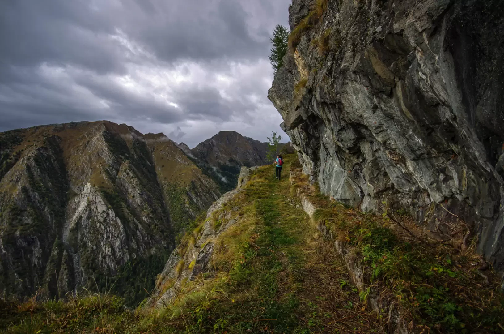
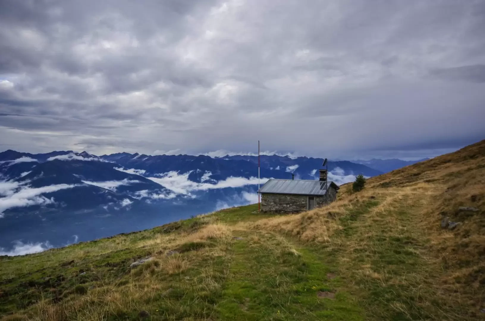
An almost unprecedented excursion that allows you to reach by a route that is certainly not direct (but suggestive and panoramic) the small refuge - open only on request of the keys - located at the base of the highest peaks surrounding Sondrio on the Rhaetian side. It takes advantage of an exposed artificial walkway carved into the rock face to serve an aqueduct, but only after crossing marvellous larch forests and before passing through panoramic plateaus offering a belvedere over the entire circle of the Orobian Alps.
.Description
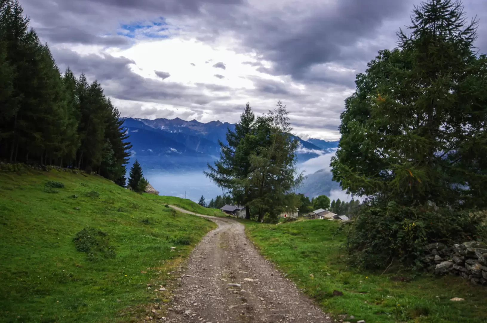
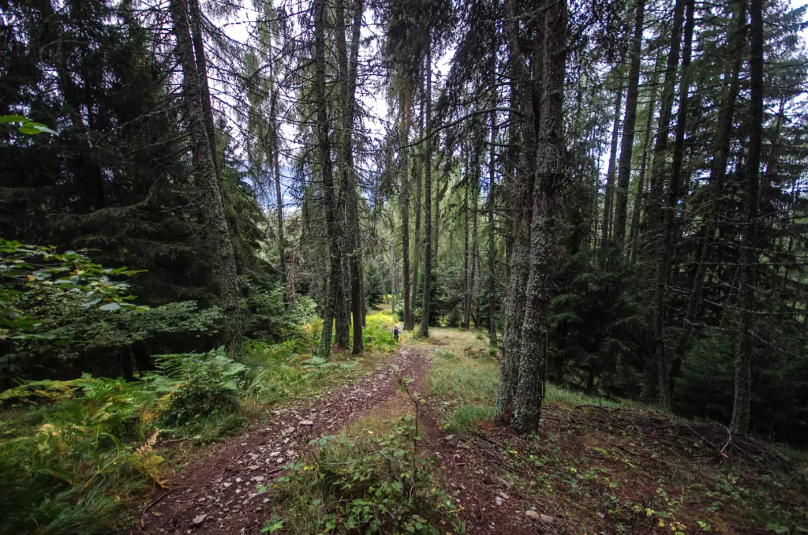
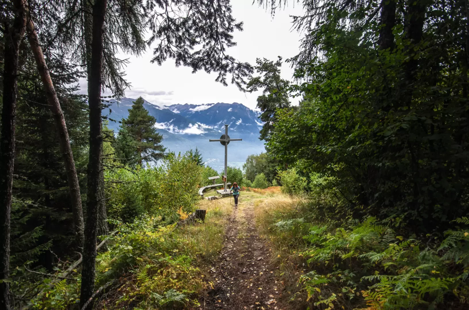
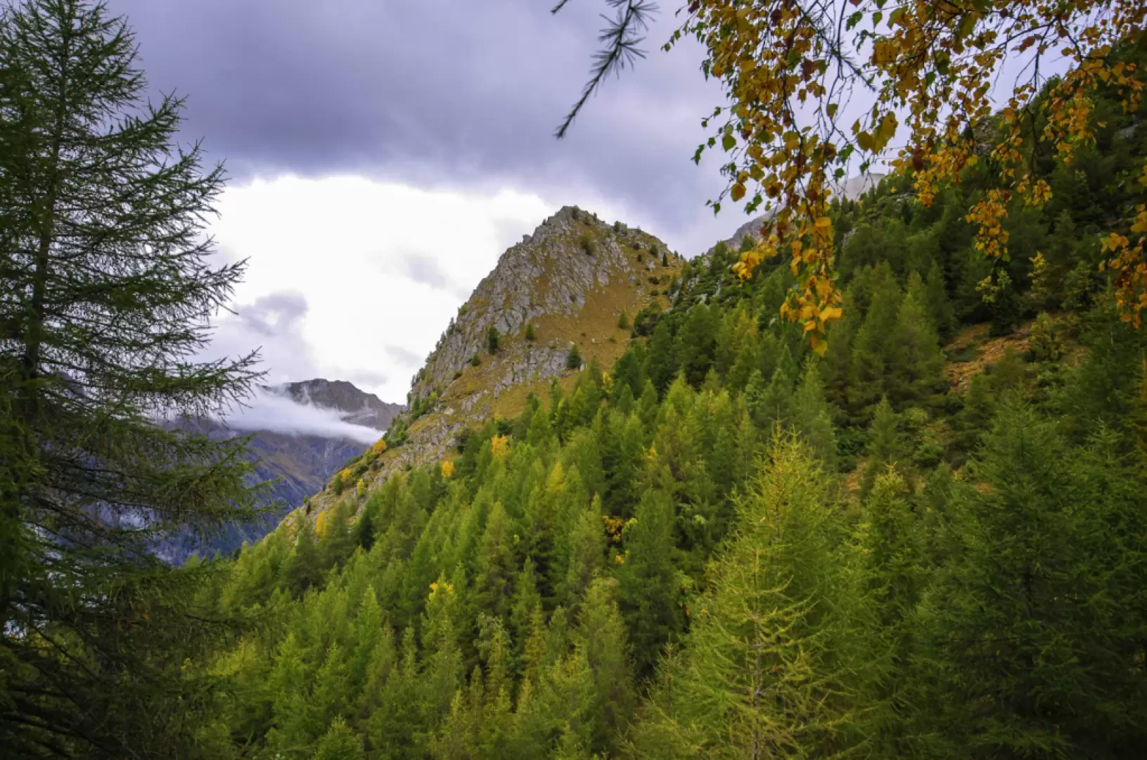
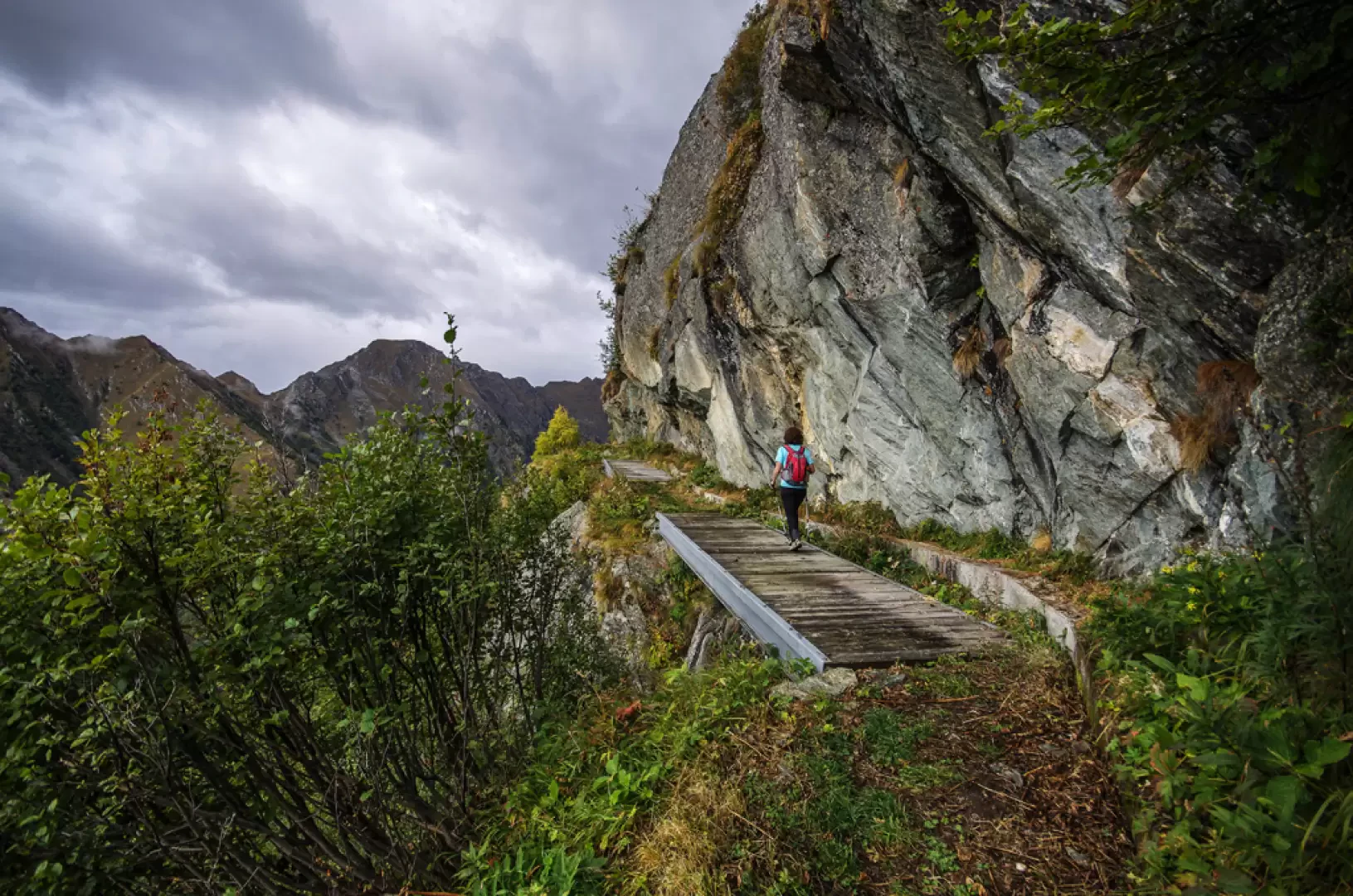
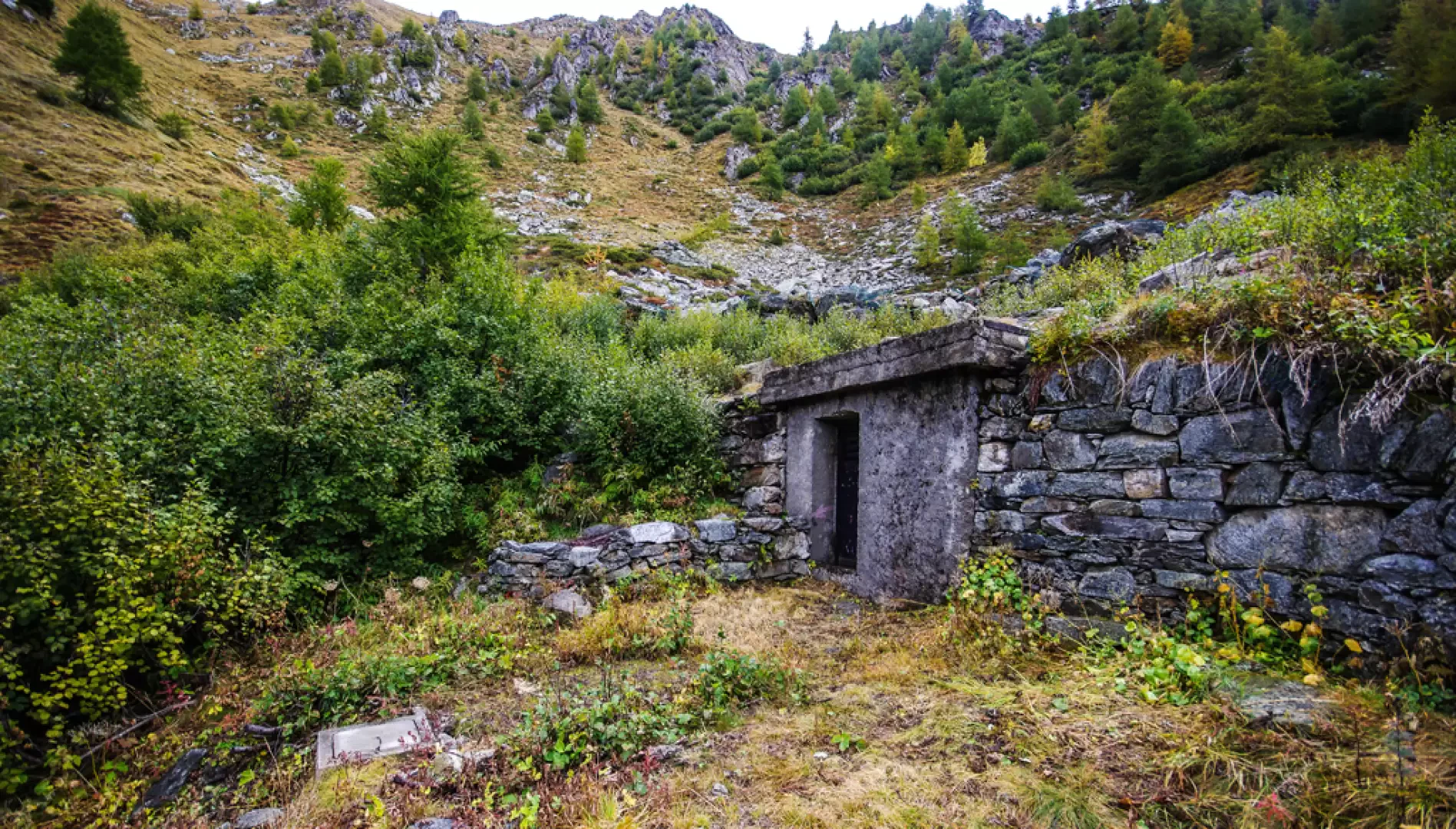
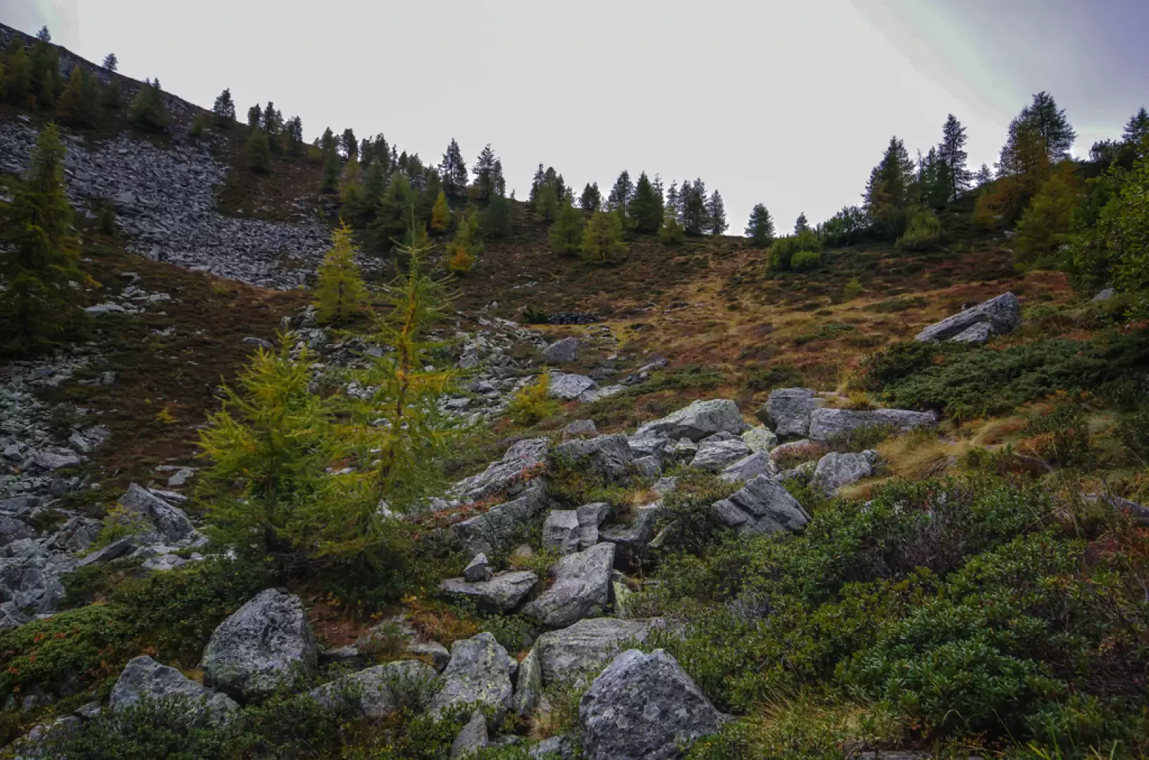
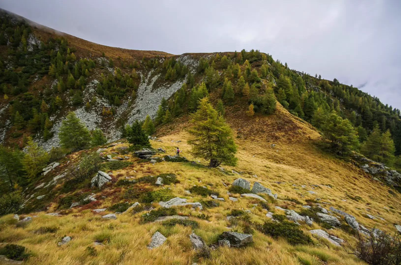
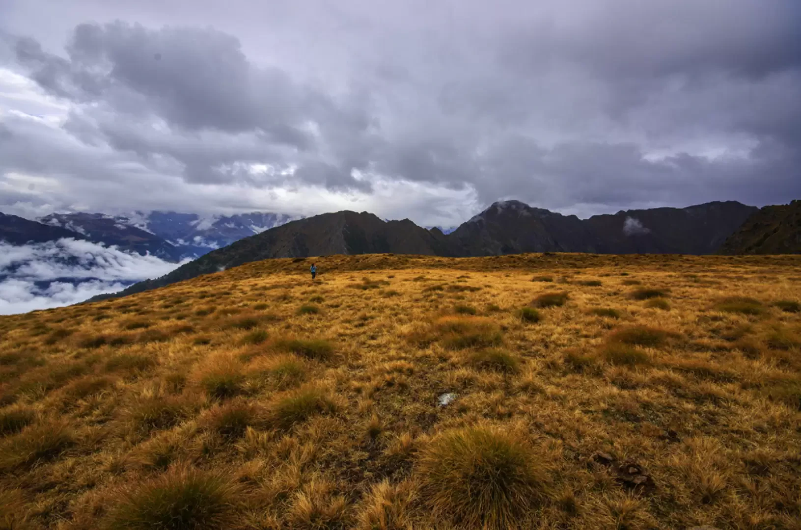
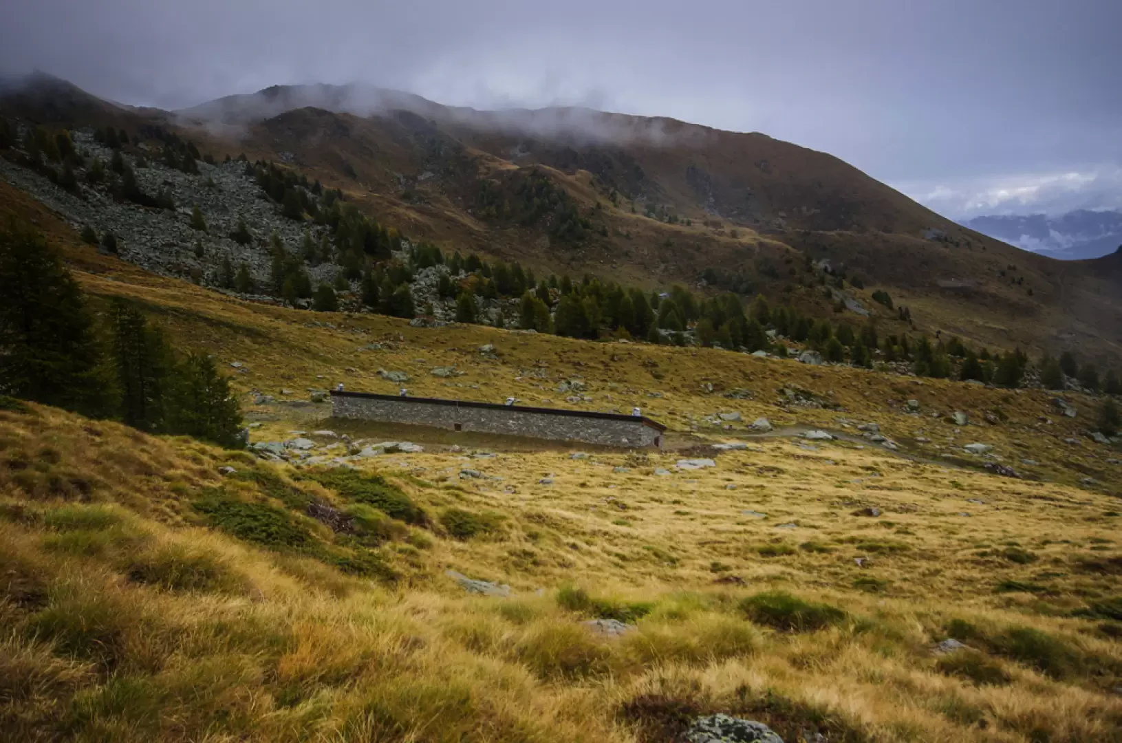
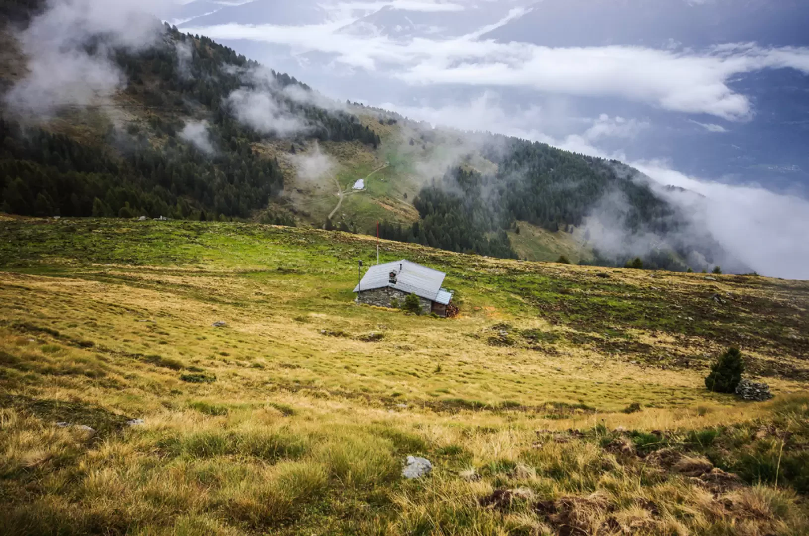
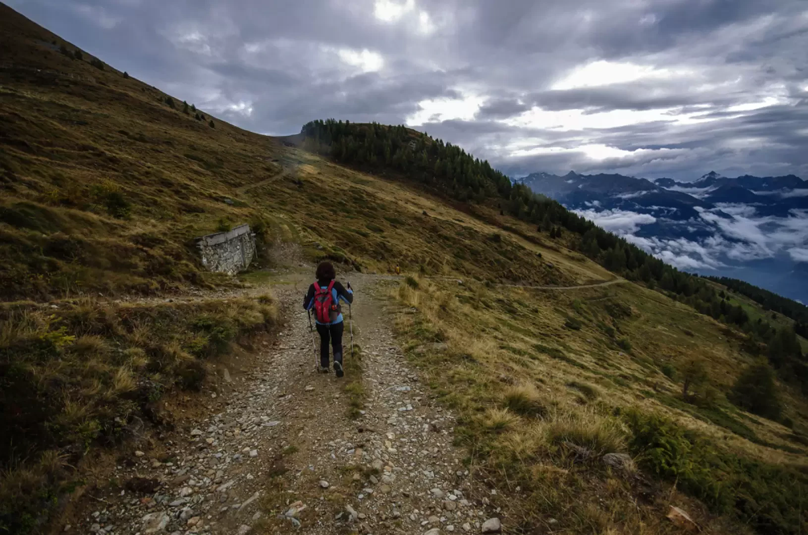
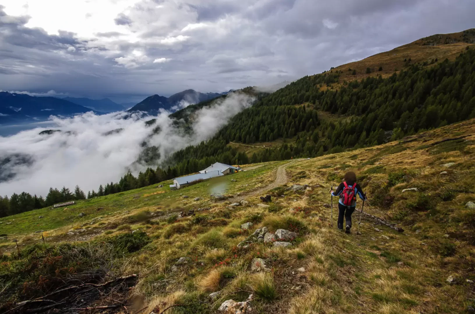
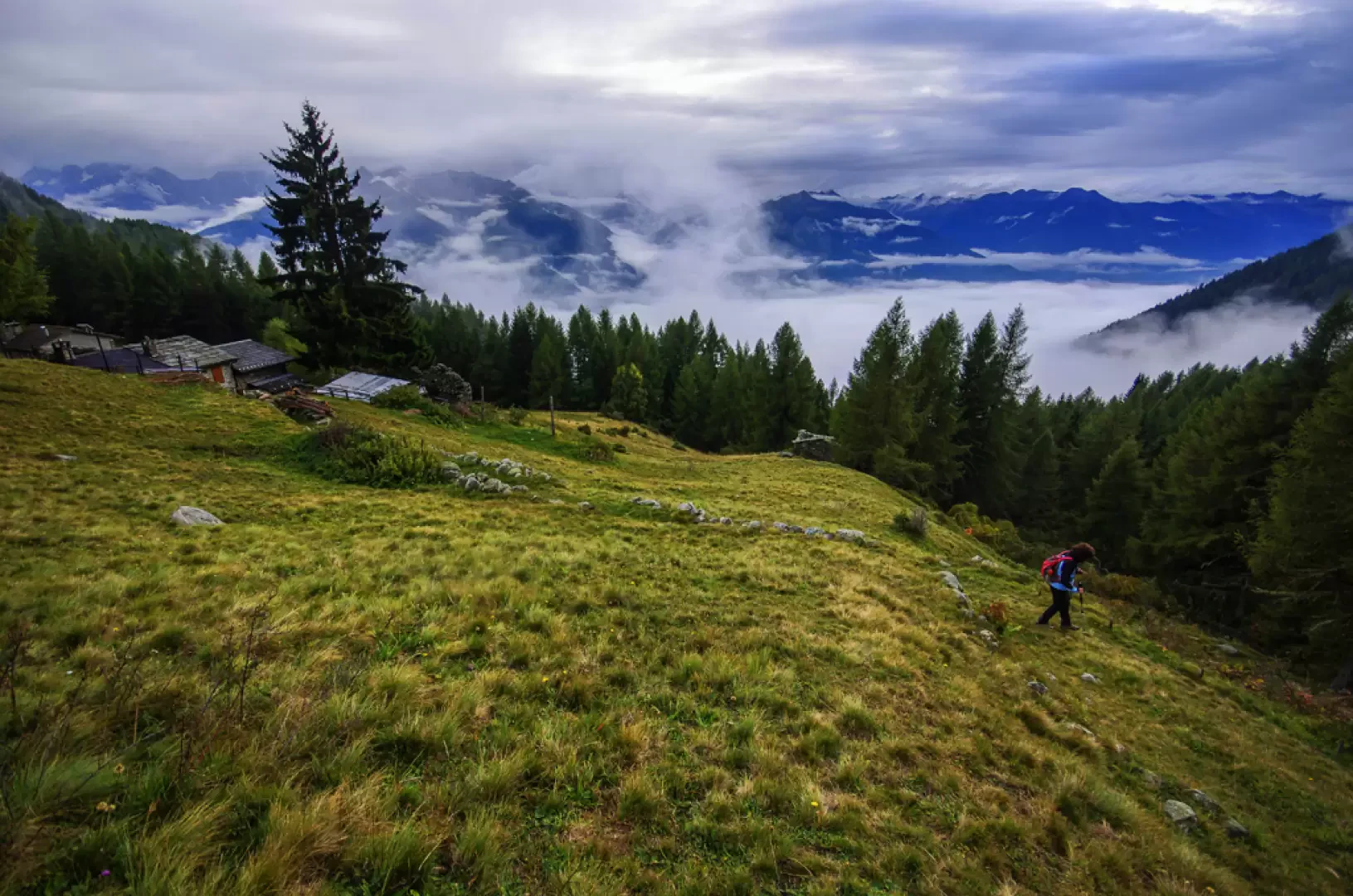
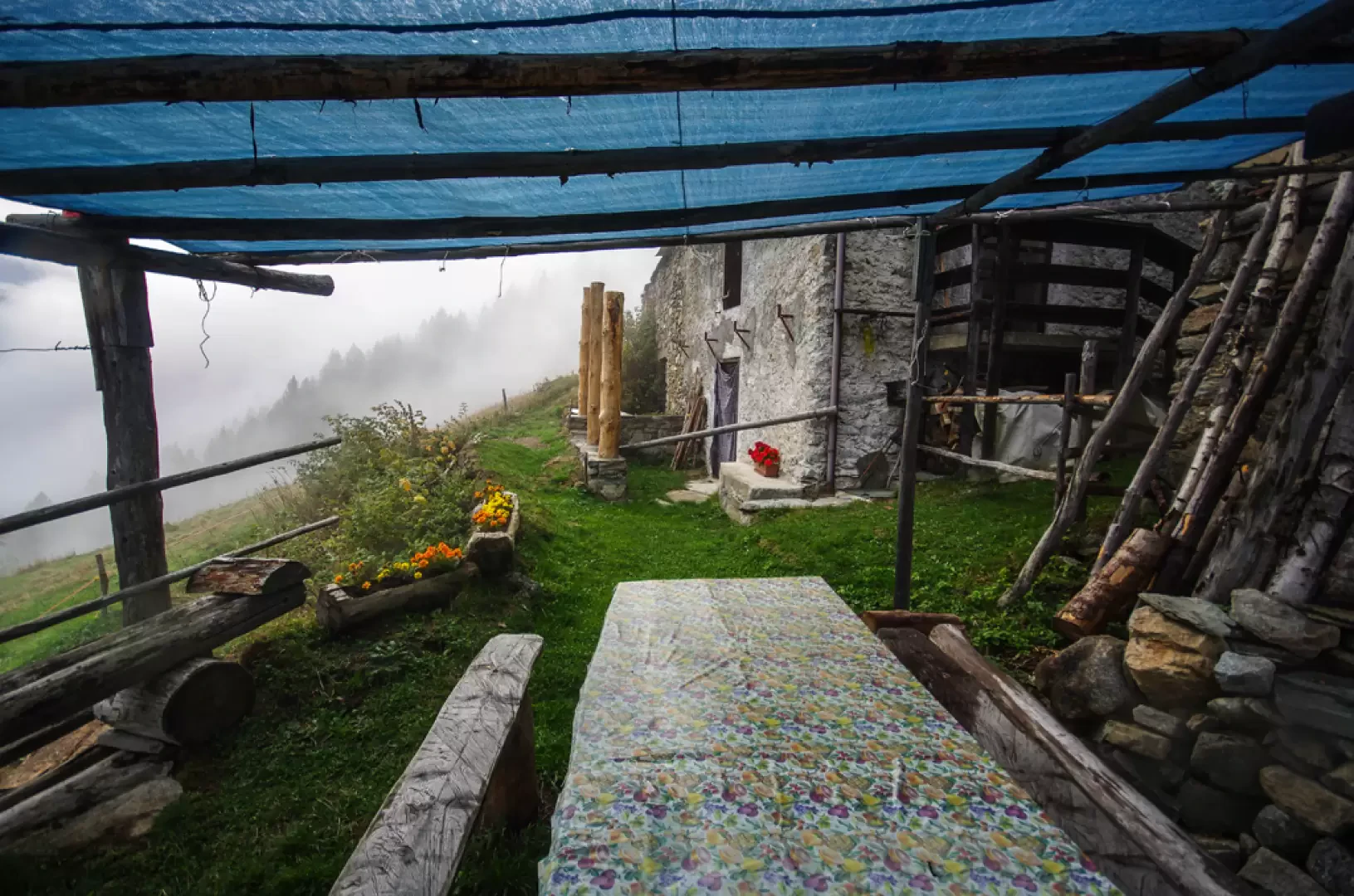
From the wide pastures of Carnale 1161m, following the continuation of the forest track - here closed to unauthorised traffic - you reach (after the last mountain huts with a fountain) the edge of the wood; at a hairpin bend you leave the track (return route) following the signs "Val di Togno" to the left. After a few dozen metres in the dense forest, a second well-marked fork in the path directs us to the right in the direction of the "Croce di Carnale". Through a bright forest of tall larch trees, we reach the ridge that climbs from Carnale to Corna Mara: the path climbs it almost incessantly along the line of maximum slope and, in a short time, reaches the knoll of the Croce di Carnale 1557m. Continue for a long time in the same direction, ignoring lateral deviations (marked or unmarked) between steep climbs and a few flat clearings. Change direction at the crossroads at Q 1965m: take the wide track to the left of the aqueduct tollgate and start walking slightly uphill along the grassy track of the service road to the aqueduct itself. After a few ups and downs in the forest, the route enters an exposed rocky environment with a track carved into the rocky wall ("taiament") of the Coren above, overlooking the Val di Togno below. After passing three short bridges over detrital furrows, the trail enters a damp, shady little valley and ends right in front of the spring ("Acqua del Coren") building. We then continue on a shady track to the obvious grassy saddle above, at the foot of the dangerous summit of Coren 2241m (only a few dozen metres, but the "summit" is a treacherous rocky blade). Turn left and ascend among the alders and the last stunted larches the short, comfortable ridge that ends in the Piana dei Cavalli plateau 2289m; cross it in a southerly direction to look out over the Valtellina. Descend the steep pastures in the direction of the "Cavalinna" stud farm and continue on to the grazing terrace below, where the Gugiatti-Sartorelli hut stands at 2138m. For the return journey, take the forest track accessing these pastures. From the refuge, take it to the left (east) and follow it as far as a large waterworks tollgate 2051m, located at a crossroads of tracks at the foot of the pass between Dos Lis and Dos Brusat: after a few tens of metres - saving a long detour - descend to the right on the old mule track that serves as a short cut to the visible "Casinna de Mara" 1945m. A second shortcut begins in the meadow just below the building and returns to meet the forest track at the ford of the Davaglione stream. Here begins a long unmarked stretch - but sufficiently intuitive - towards the wide descending pastures of Alpe Mara 1751m; descend along the meadows to the huts of Mara Bassa, where, just above the last ruin, a path begins that - first downhill and then almost level - reaches the few houses of Stodegarda 1583m. Continue to descend the meadows on an easy meandering track: just below the Beduiè huts and a little above Dauncian, you come to a clearing at the end of a forest track. Follow it to the right and, after a long and monotonous flat stretch, a progressive descent quickly leads to the crossroads highlighted on the way up, just a few steps from Carnale.
Galleria fotografica