Massimo Martini
Wrote 494 reports, for a total distance of 352,42Km up and a total elevation gain of 305,75Km and 2.841 hours of walking
Active filters:
User: 3
Showing 495 results
with active filters
Loading...
Ivery, from Piazza IV Novembre to Pont-Saint-Martin
Interesting itinerary at the entrance to the Aosta Valley. Along the way, you can breathe in the air of the...
T2
3.12 Km
341 m
Suzey Castle, from IV November Square in Pont-Saint-Martin
A round trip itinerary that takes in the hillsides at the entrance to the Valle d'Aosta, starting from the village...
T2
4.97 Km
505 m
Baraing Castle, ring from Piazza IV Novembre to Pont-Saint-Martin
The urban itinerary to discover Pont-Saint-Martin. The short route allows the hiker to explore the town centre of the municipality...
T2
1.20 Km
52 m
Sanctuary of Retempio, from Pontboset
The excursion to the Sanctuary of Retempio is a journey into the heart of Aosta Valley tradition and devotion, immersed...
8.94 Km
726 m
Crest dessous, from Pontboset
Pontboset is a charming little hamlet located at the beginning of the Champorcher valley, nestled in a particularly picturesque position...
T2
3.87 Km
355 m
Barmelle, from Dublanc
Barmelle is a village perched on the left orographic slope of the Champorcher valley. The village, positioned on a ledge...
T2
4.00 Km
455 m
Hermitage de Saint-Grat, from Pila
Every year, between 6 and 7 September, the Ermitage de Saint-Grat (hermitage of Saint Grato) is the destination of a...
T1
3.30 Km
50 m
Panorama Trail, from Pila
This is a pleasant, well-equipped itinerary along the mountainous backdrop of Pila. Take advantage of the ski lifts to enjoy...
F
0.00 Km
386 m
Col de Arbolle, from Pila
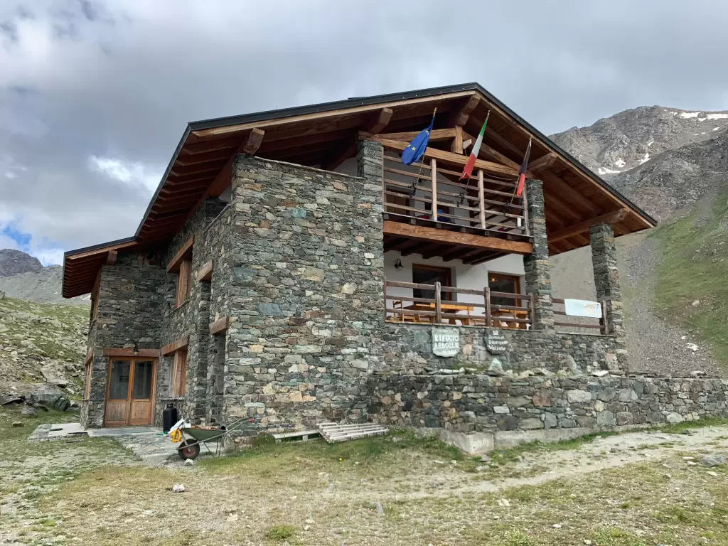
Making the ascent to Col d'Arbolle can be a beautiful excursion in itself: the route in a very wild natural...
T3
22.77 Km
1680 m
Federigo Zullo bivouac, from Pila
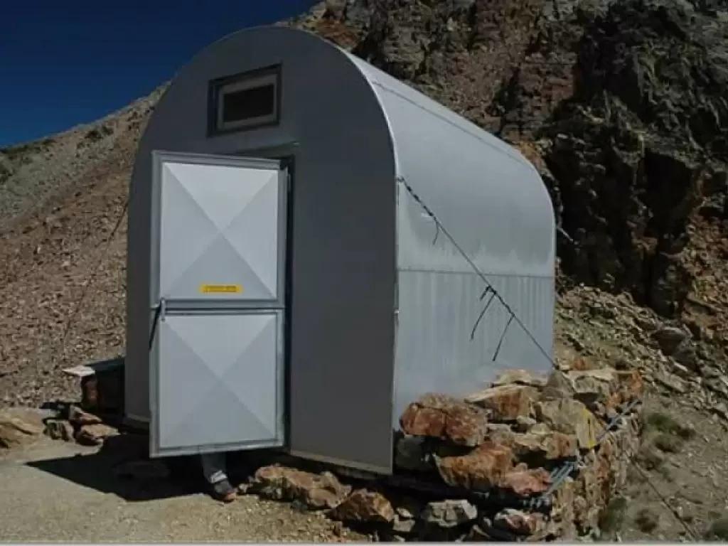
Beautiful but strenuous hike to Col Carrel, a depression between the two imposing symbols of Aosta: Becca di Nona and...
T2
21.00 Km
1333 m
