Lake Charey, from the Artaz car park


Edited by:
Gian Mario Navillod
Updated at: 21/06/2026
Access
Navigazione stradale
Lasciare lo svincolo autostradale di Châtillon, svoltare a sinistra e procedere per 300m (0,3km) fino alla rotonda. Imboccare la terza uscita e proseguire su Via Émile Chanoux. Attraversare il centro storico di Châtillon per 600m (0,9km), quindi svoltare leggermente a destra su Via Menabreaz e proseguire per 450m (1,35km) fino alla rotatoria con il Cervino. Prendere la seconda uscita e imboccare la della Valtournenche per 7,7km (9,05km) fino ad Antey-Saint-André. Svoltare a destra e imboccare la in direzione La Magdeleine. Risalire la regionale per 8,4km (17,45km), superando Brengon, fino al parcheggio di Artaz.
Parcheggio
Ad Artaz si trova un parcheggio 🅿️ gratuito, punto di partenza dell'itinerario.
Accesso con mezzi pubblici
Per raggiungere il punto di partenza dell'itinerario è necessario un mezzo privato, poiché Artaz non è servita da trasporti pubblici.
Distanza e tempo di percorrenza
🕒 Tempo di percorrenza: 28 minuti
📏 Distanza: 17,45km
Navigazione GPS
Nota informativa
Le indicazioni fornite sono state verificate alla data del rilievo dell'itinerario. Prima della partenza si consiglia di verificare possibili variazioni del percorso o delle condizioni stradali. Per informazioni aggiornate si raccomanda di consultare Google Maps o Apple Maps.
Introduction
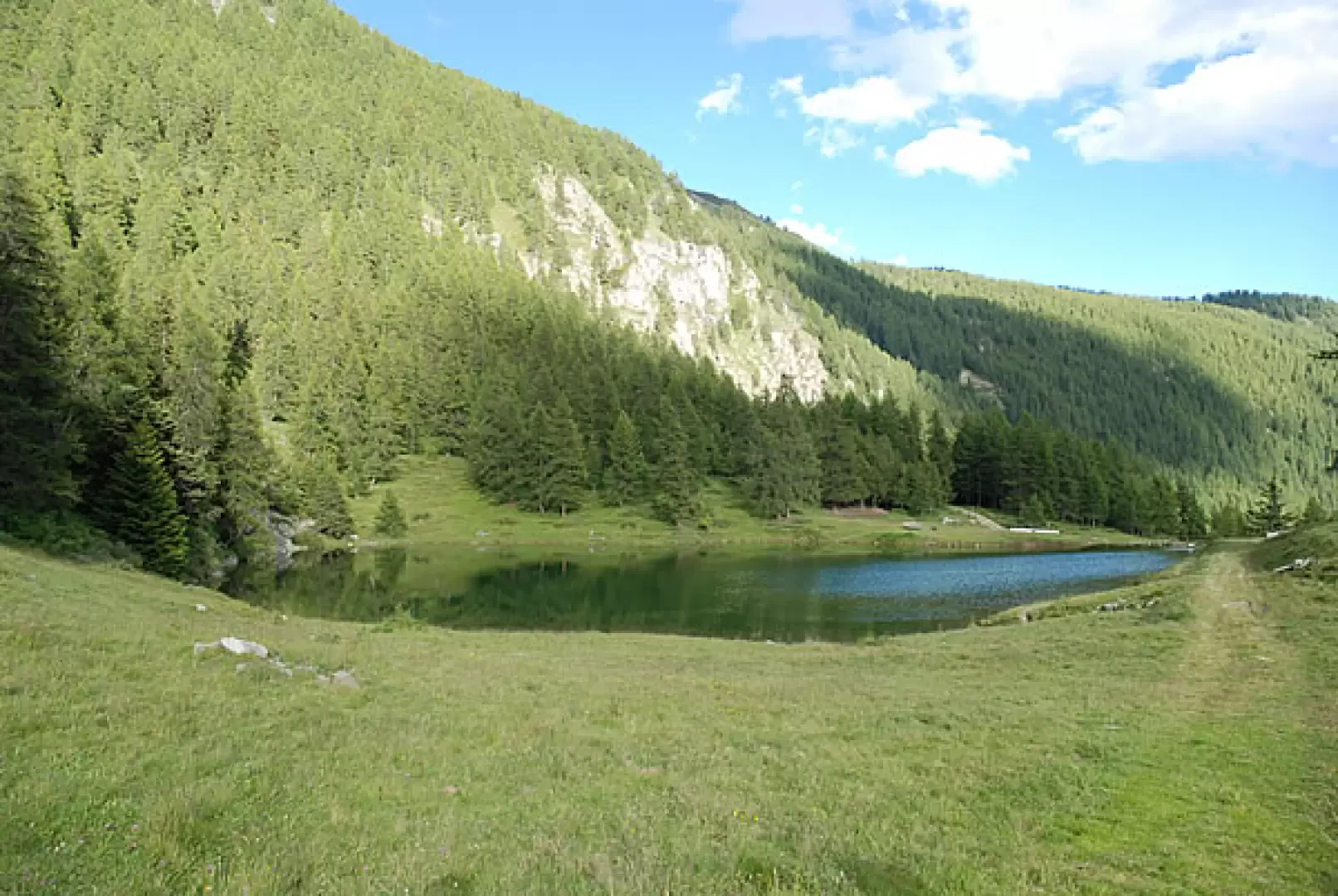
Lake Charey is located at the foot of Mont Tantané: a walk for the family.
Description
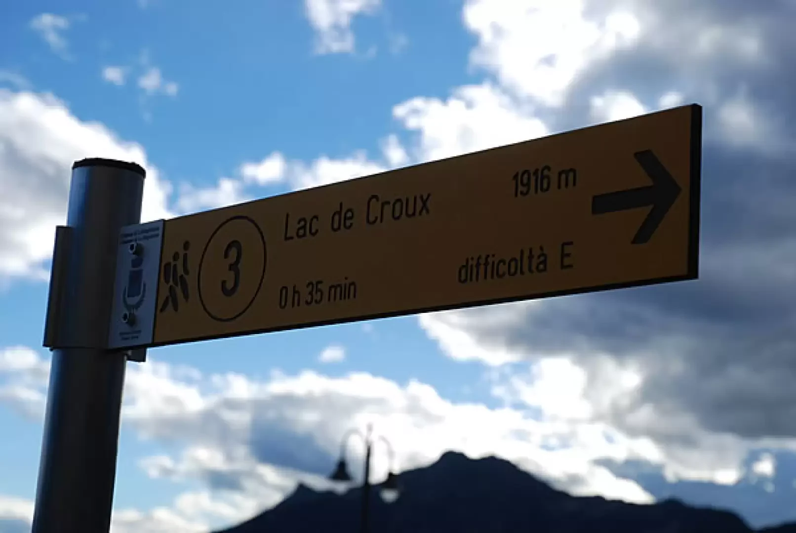
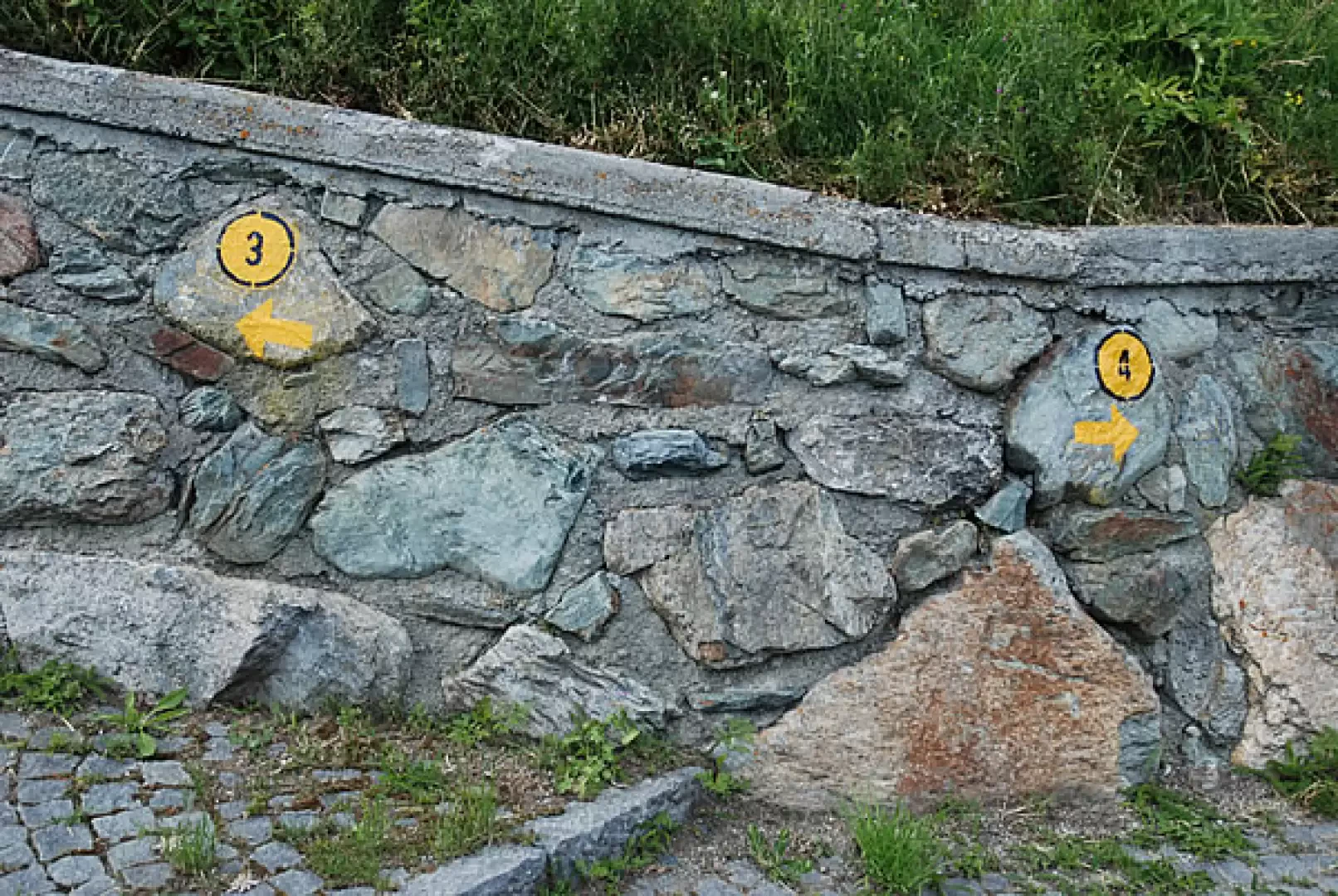
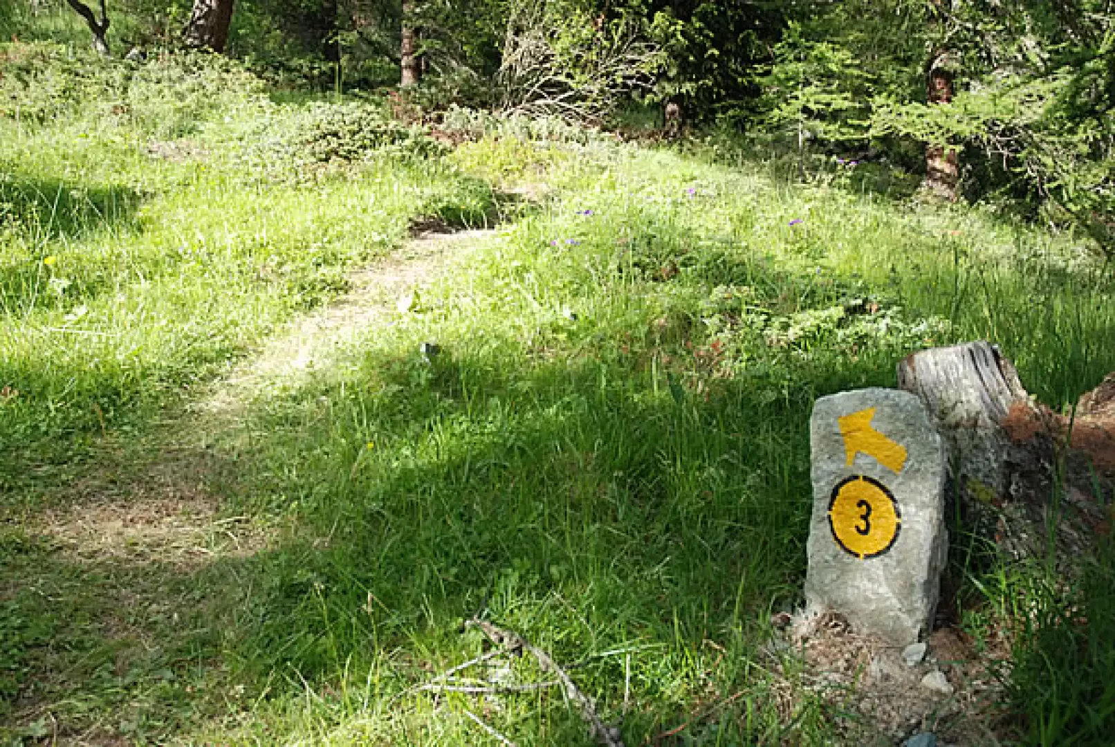
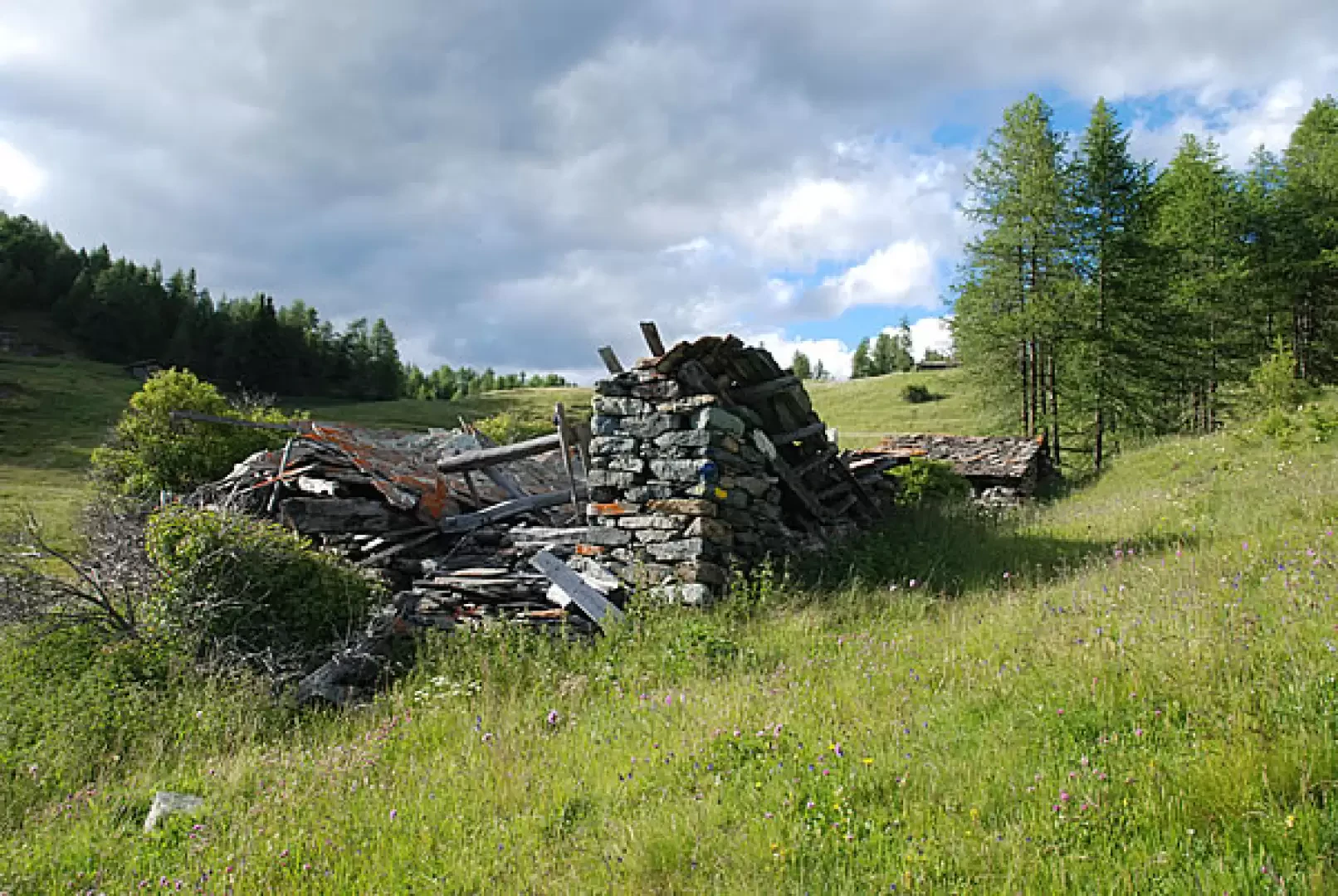
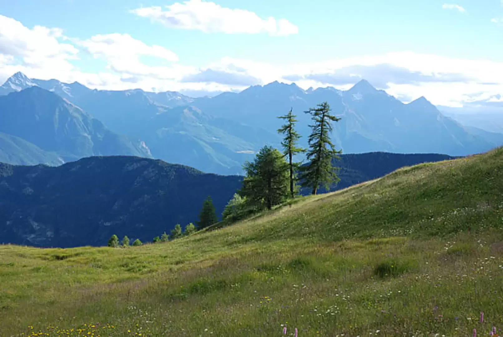
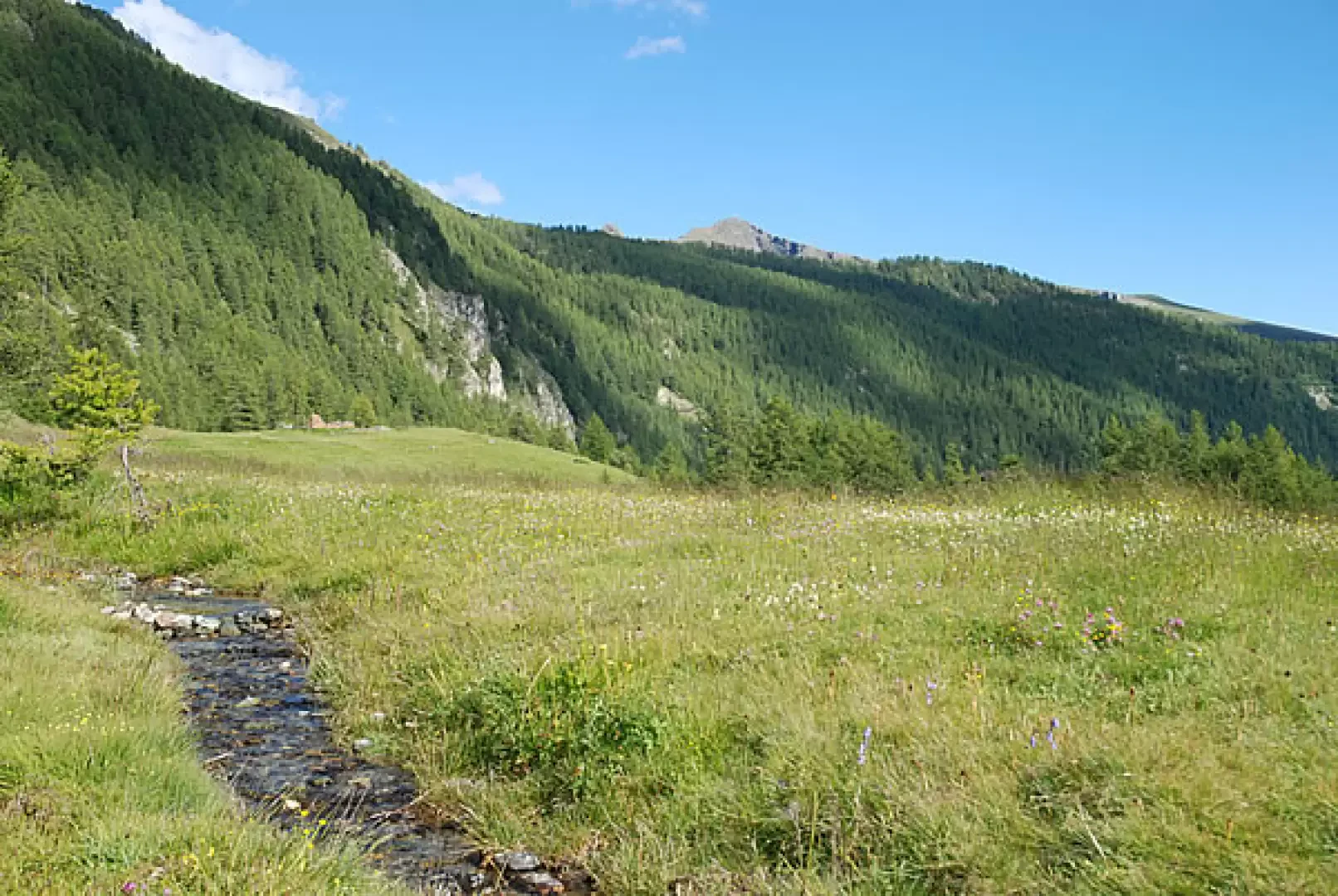
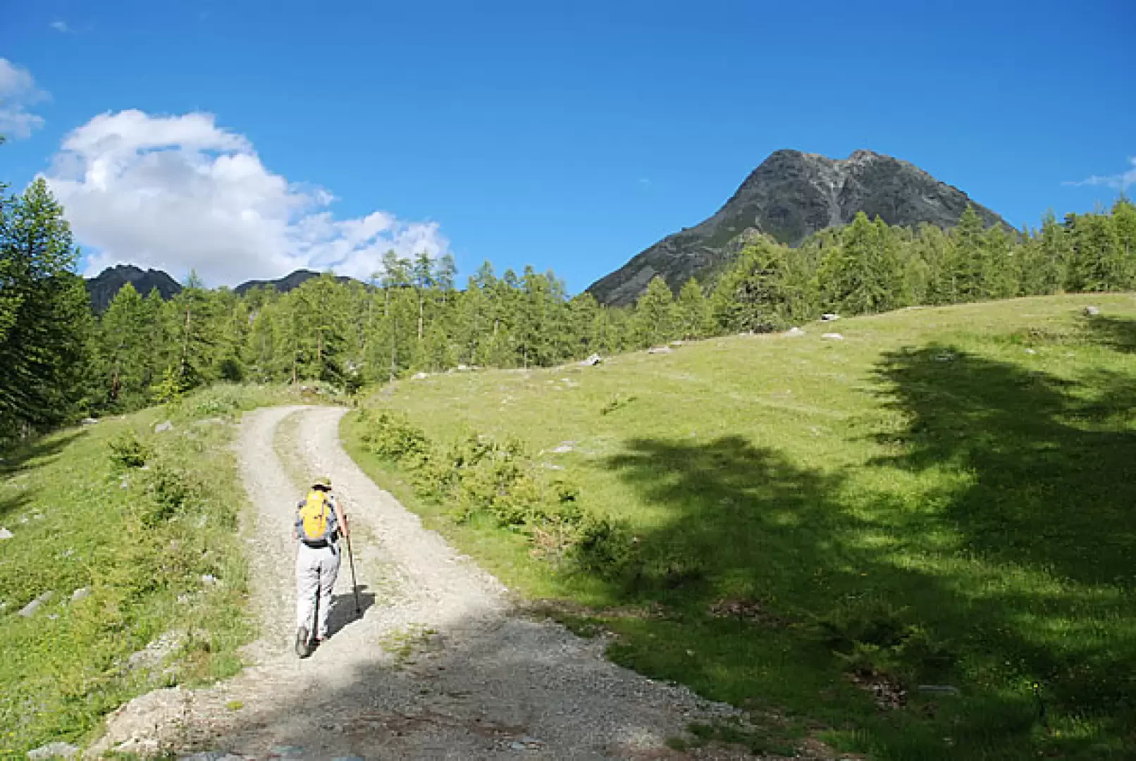
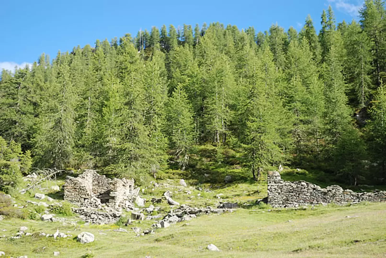
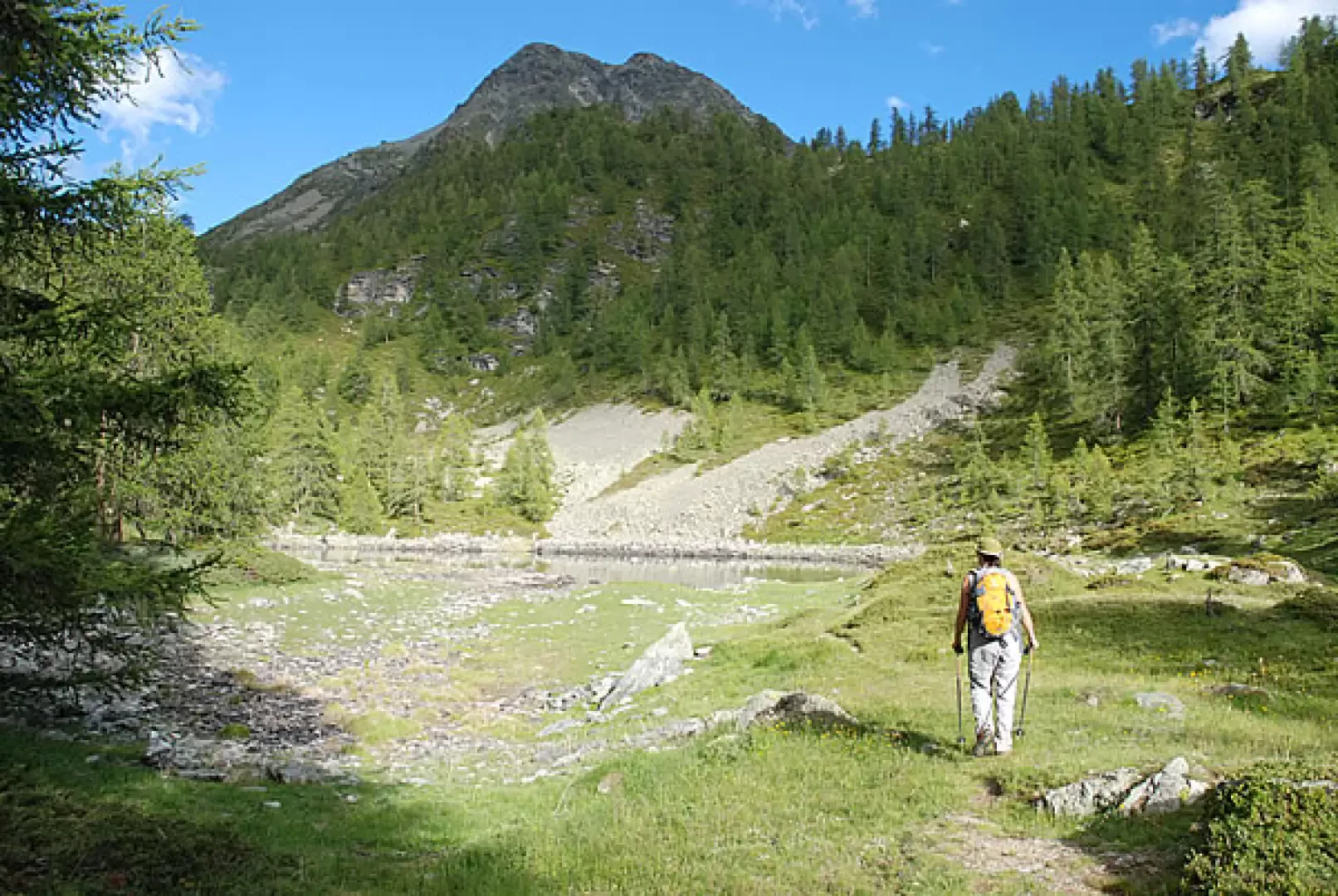
Leave your car at Artaz in the large square where the asphalt road ends and enter the old village centre passing by the old fountain where you can fill your water bottles, a few steps further on you will find a fork: take the path that climbs to the left, taking care not to follow the signs that lead to the right, towards the Portola pass. Immediately afterwards, cross the driveway and follow the path that climbs steeply between the cottages and pastures until you reach the dirt road, which you follow for about twenty minutes until you reach the Laye farmhouse (1855 m). Immediately after the building, a shortcut begins that climbs to the left and takes you to Lake Croux (1917 m, 0h30') in about 10 minutes. Follow the track that skirts it on the left and then climbs steeply between the trees, after about ten minutes the ascent becomes gentler and you come out in a meadow carpeted with gentians, Continue on level ground following the tracks of the track until you pass behind the ruins of a hut from which you can enjoy a breathtaking panorama that sweeps from Mount Barbeston, to the Emilius pyramid, to the valley of the Tzan bivouac, behind the larch grove peeps out the peak of Mount Zerbion, with the white dot of the Madonna statue. Take the flat track to the left that cuts into the slope until you reach the crossroads with the road that climbs steeply to the right towards the Tantané; on a clear day, enjoy the view of the punta group and the Tzan dôme. After about twenty minutes coming out of the forest, you have the slopes of the Tantané in front of you. Another five minutes along the almost flat road and you cross the effluent stream, continue along the road for another ten minutes or so and you have arrived at the shores of Lake Charey (2125 m, 1h30').
Riferimenti Bibliografici
- Le valli del Cervino - Zavatta Luca - L'Escursionista Editore, Rimini, 2005
Galleria fotografica