Mont Avi, from Bellecombe


Edited by:
Massimo Martini
Updated at: 02/11/2025
Access
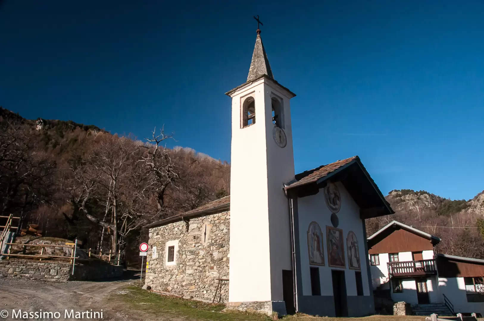
Leave the motorway junction at Châtillon-Saint-Vincent, turn left onto Via E. Chanoux and drive along it for about 100 metres. Then turn left again onto the regional road in the direction of Pontey. Continue downhill, pass two roundabouts and the railway station, then go under the railway and turn left following the signs for Ussel/Pery/Bellecombe. Now proceed along the municipal road, cross the Dora Baltea and reach the characteristic village of Ussel, known for its medieval castle. Continue along the communal road through chestnut woods until you reach the village of Bellecombe, where there is a large free car park 🅿️ opposite the chapel of Saint Anne.
GPS Navigation
📍 How to get there with Google Maps
📍How to get there with Apple Maps
ℹ️ Important note
The directions given were verified at the date of the survey of the route. Before departure, it is advisable to check for any changes to the route. For up-to-date and detailed directions, we recommend the use of Google Maps or Apple Maps.
Introduction
Finding thousand-metre peaks in the Valle d'Aosta is a difficult task. Mont Avi is one of these, a little-known peak that emerges from the large wooded expanses that descend Mont Barbeston. The proposed itinerary is the shortest way to reach the summit: only two kilometres in all.
Description
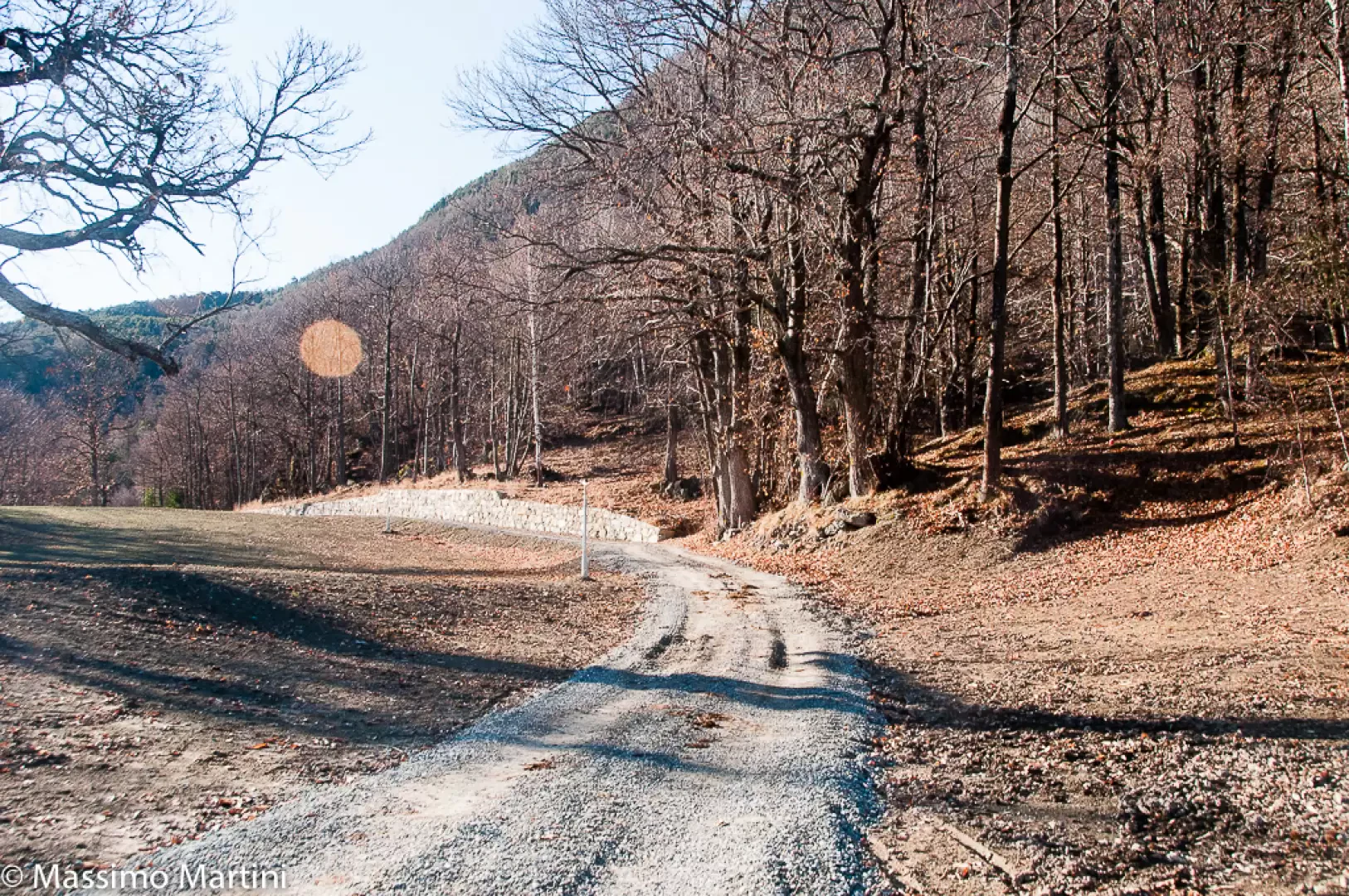
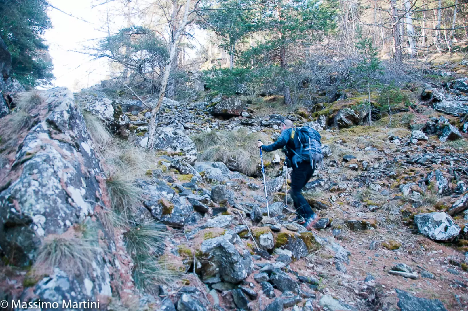
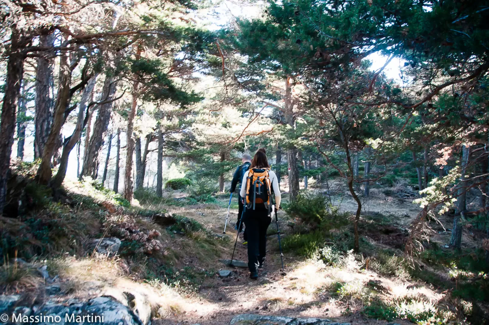
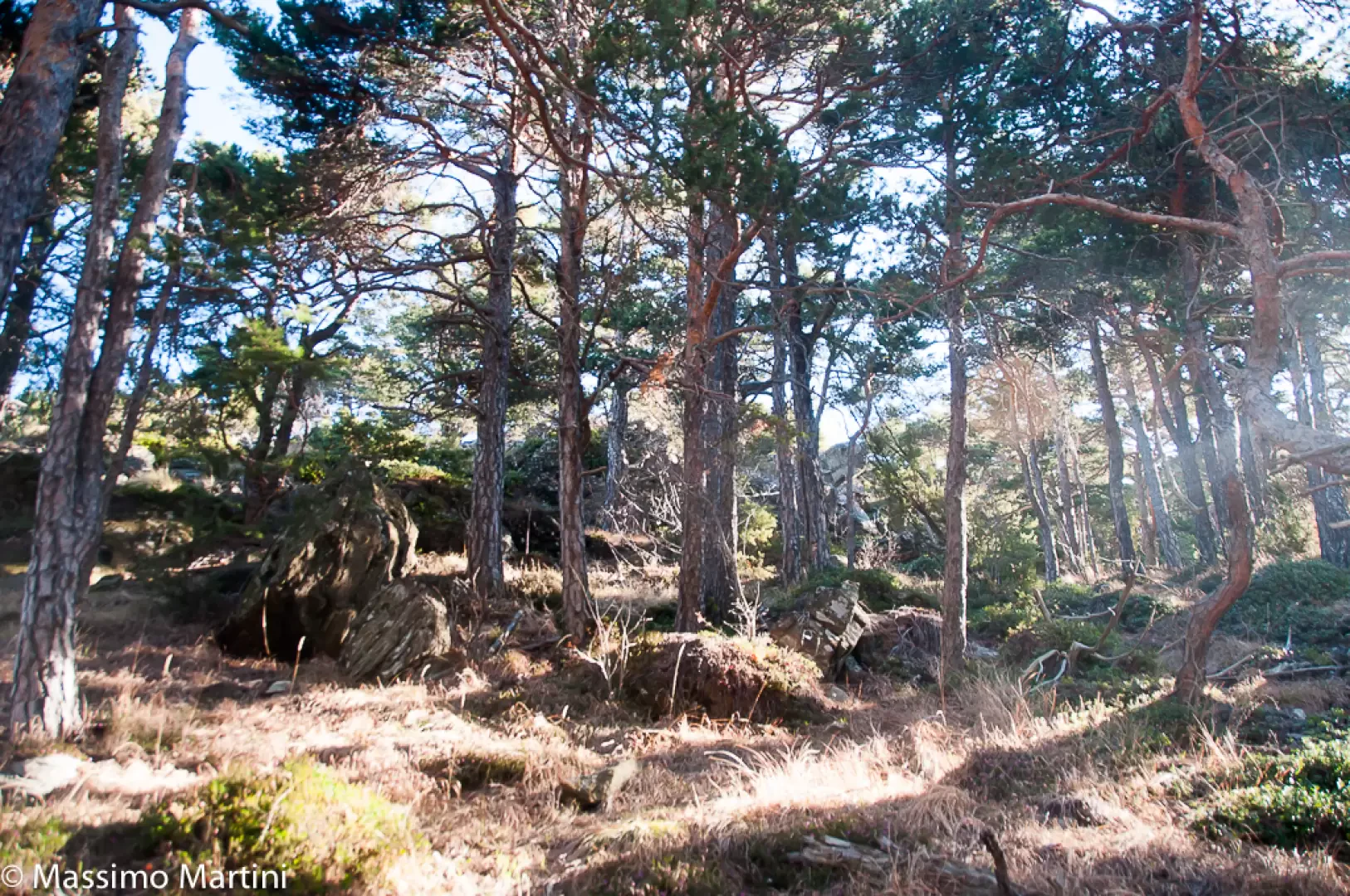
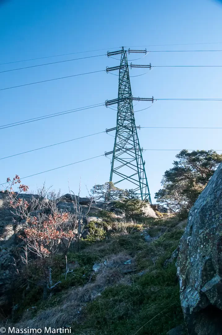
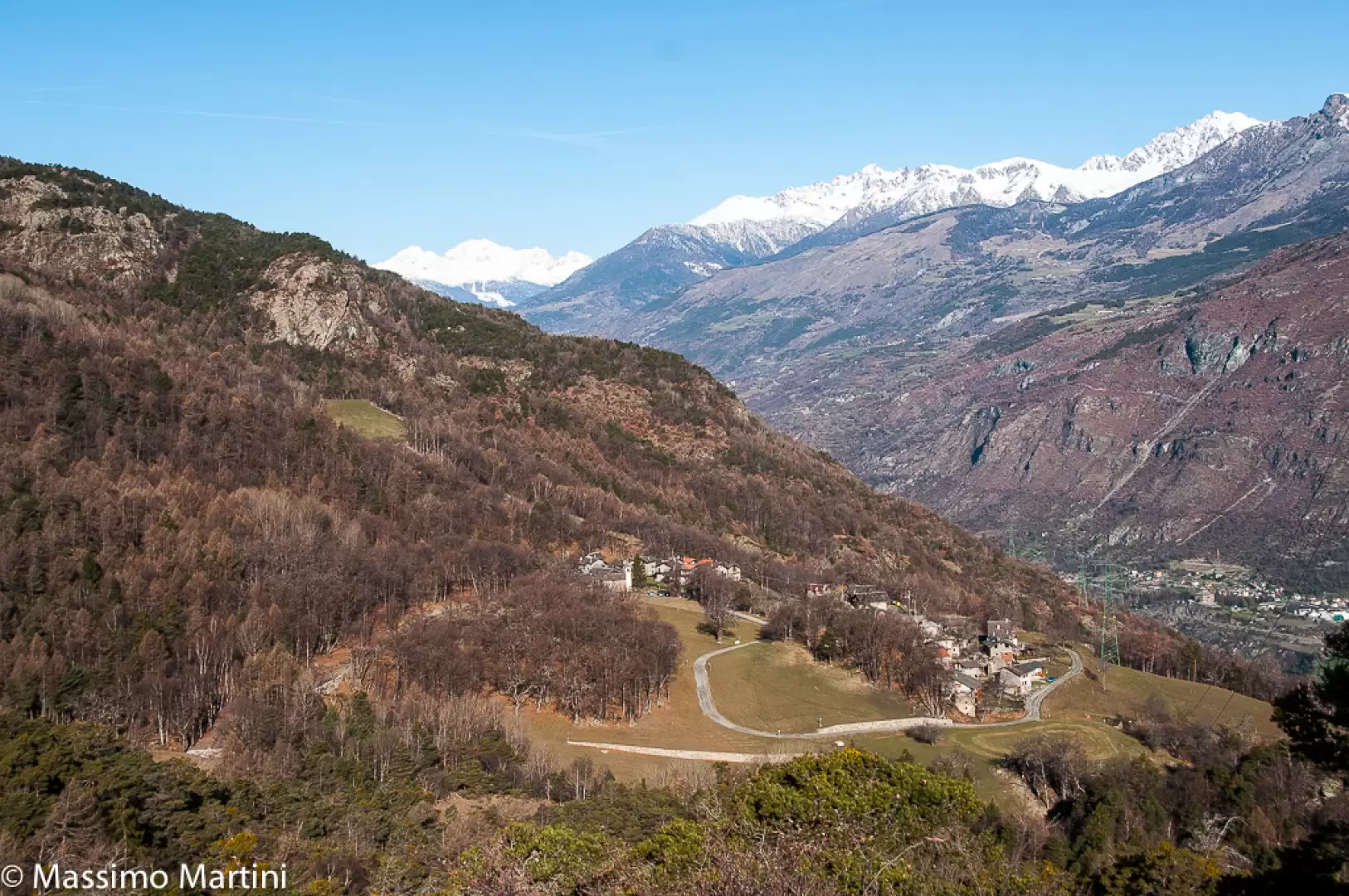
Leaving the car behind, proceed to the left of the pretty chapel of Bellecombe, dedicated to St Anne, taking a dirt track that leads through reclaimed fields and chestnut groves with beautiful views of the not-too-distant peaks of the Val d'Ayas. At the end of the small road, you reach a clearing where the path starts, climbing briefly into the forest and crossing a rocky stretch. After the very short climb, the path proceeds through the Scots pine forest with a very gentle slope. After about 30 minutes of walking, we arrive near the pylon of the power line, turn left and, following the trail, we reach the foot of the summit. Now within sight of the power line that towers above the squat summit, a short rocky band is encountered that can be overcome without major problems with a little climbing (I-). Once this obstacle has been overcome, proceed on slightly sloping slabs until reaching the summit of Mont Avi (1117m, 0h40').
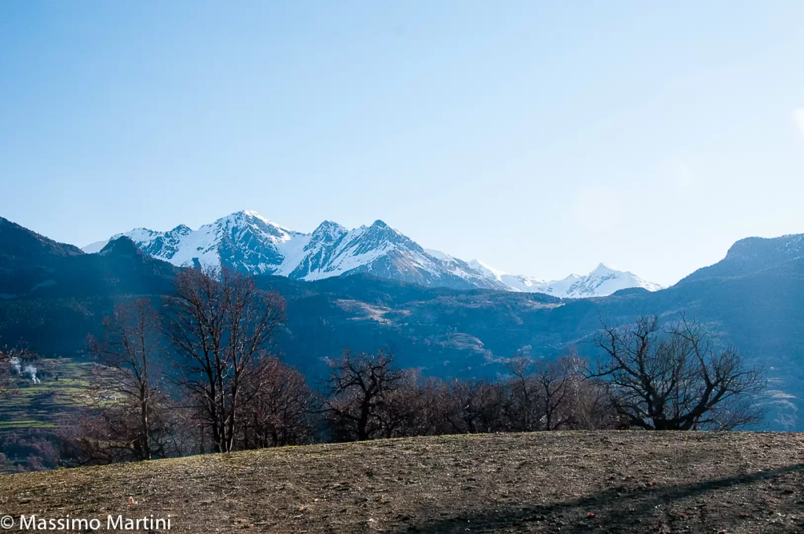
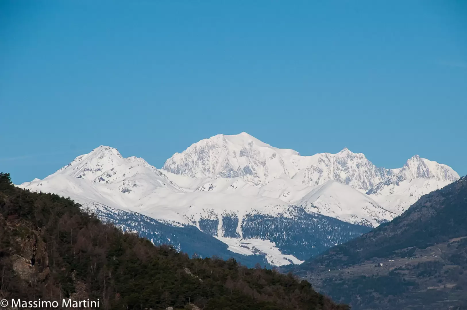
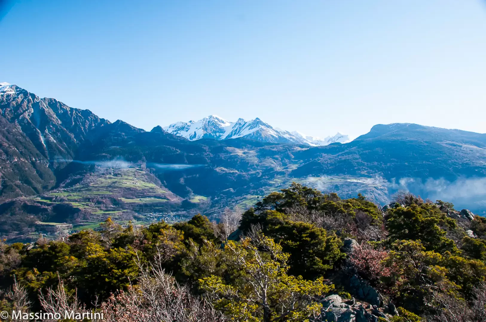
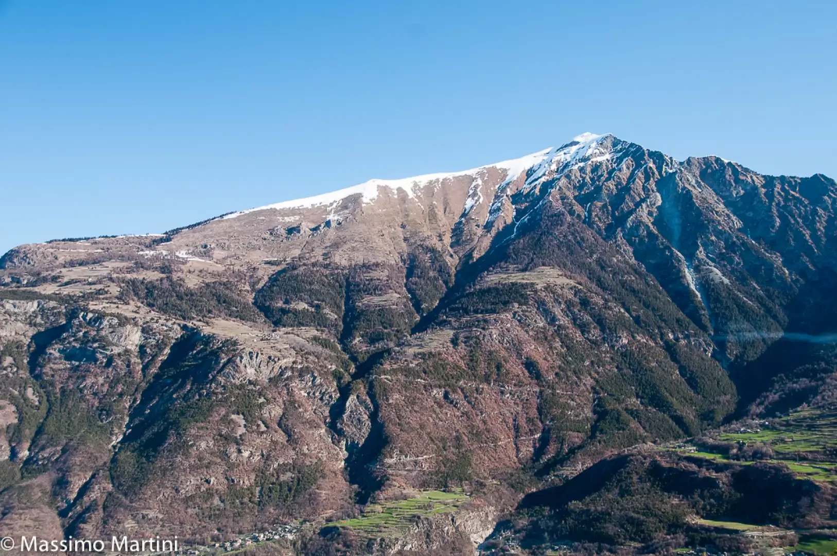
In spite of the obstruction of the power line, from the summit you can appreciate a good panorama that sweeps from the west with Mont Blanc, Mont Zerbion in the foreground to the Dames de Challand in the east.
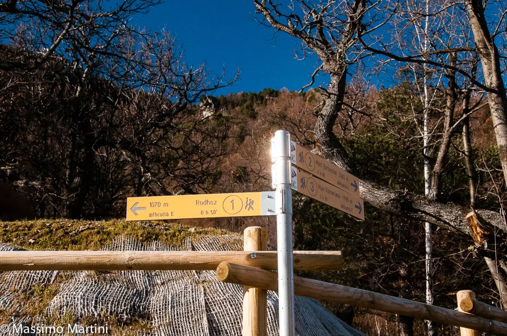
The return trip is along the same route as the outward journey (0h30'), taking care to pay attention to the few metres of rock to be overcome. This itinerary can easily be incorporated as a variant of the hike to the village of Rodoz or to that of Col Marcage: the diversions to the modest summit of Mont Avi does not take more than 10 minutes between ascent and descent.
General information
Route:
Signposts: 1 and s.n.
Type of route:a/r
Recommended period:April, May, June, July, August, September, October, November
Sun exposure:North
Objective hazard:take care when climbing the small rocks before the summit
Water: Bellecombe
Galleria fotografica