Leaving the motorway at the Pont-Saint-Martin tollgate, after 100m turn left to follow the state road in the direction of Aosta. After 500 metres, take the second exit at the roundabout and continue on the state road for 3 kilometres to the next roundabout. Take the second exit and follow the regional road in the Champorcher Valley. Continue on the regional road for 14.7 kilometres up the valley and through the villages of Hône and Pontboset before reaching Château, the centre of Champorcher. Disregard the road to the right for Dondena and continue for another 1 kilometre or so until you reach the large car park at Chardonney 🅿️ where you can leave your car.
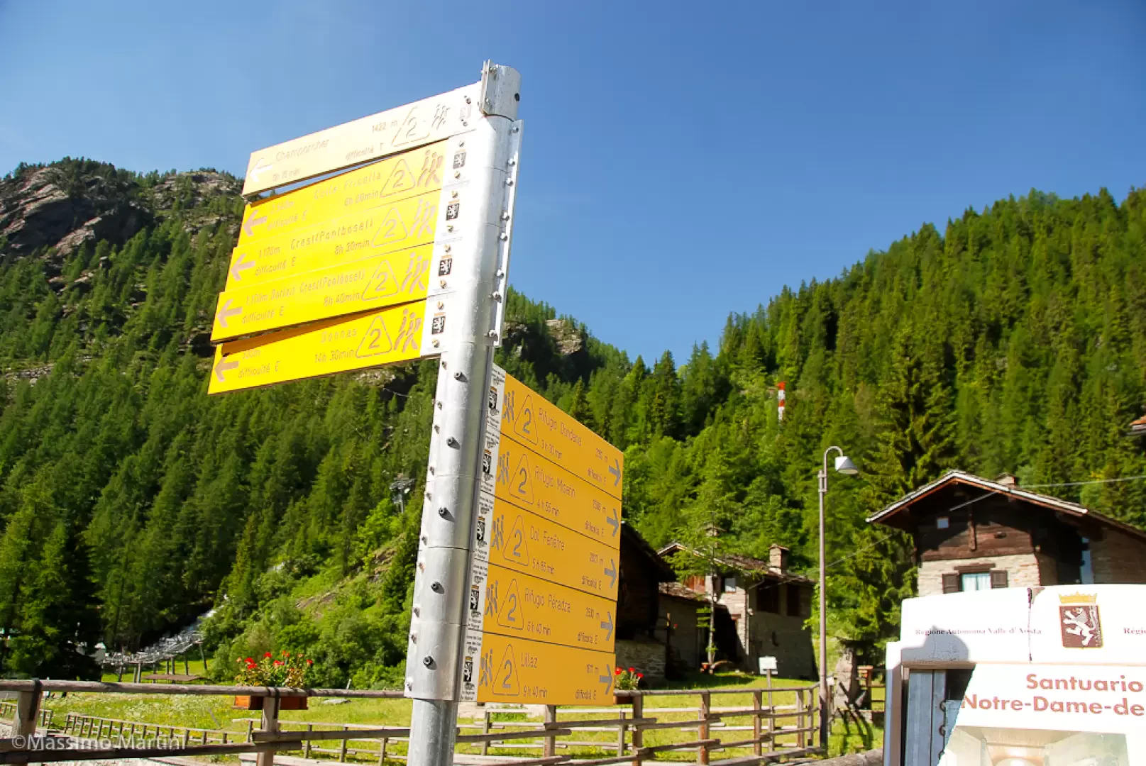
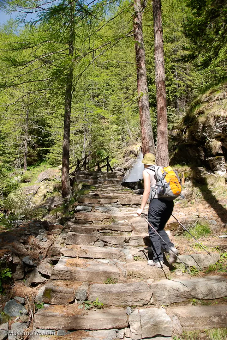
The Dondena Refuge is known to be an important starting point for the many hikes in the upper Champorcher valley, also thanks to the road, which greatly reduces the approach. But there is also a beautiful access path that allows you to go up the valley from Chardonney along the Alta Via 2 on the so-called 'little stairs path'.
The path described here is just that, a pleasant climb between nature and history along the routes that King Victor Emmanuel II used for his famous hunting parties.
Description
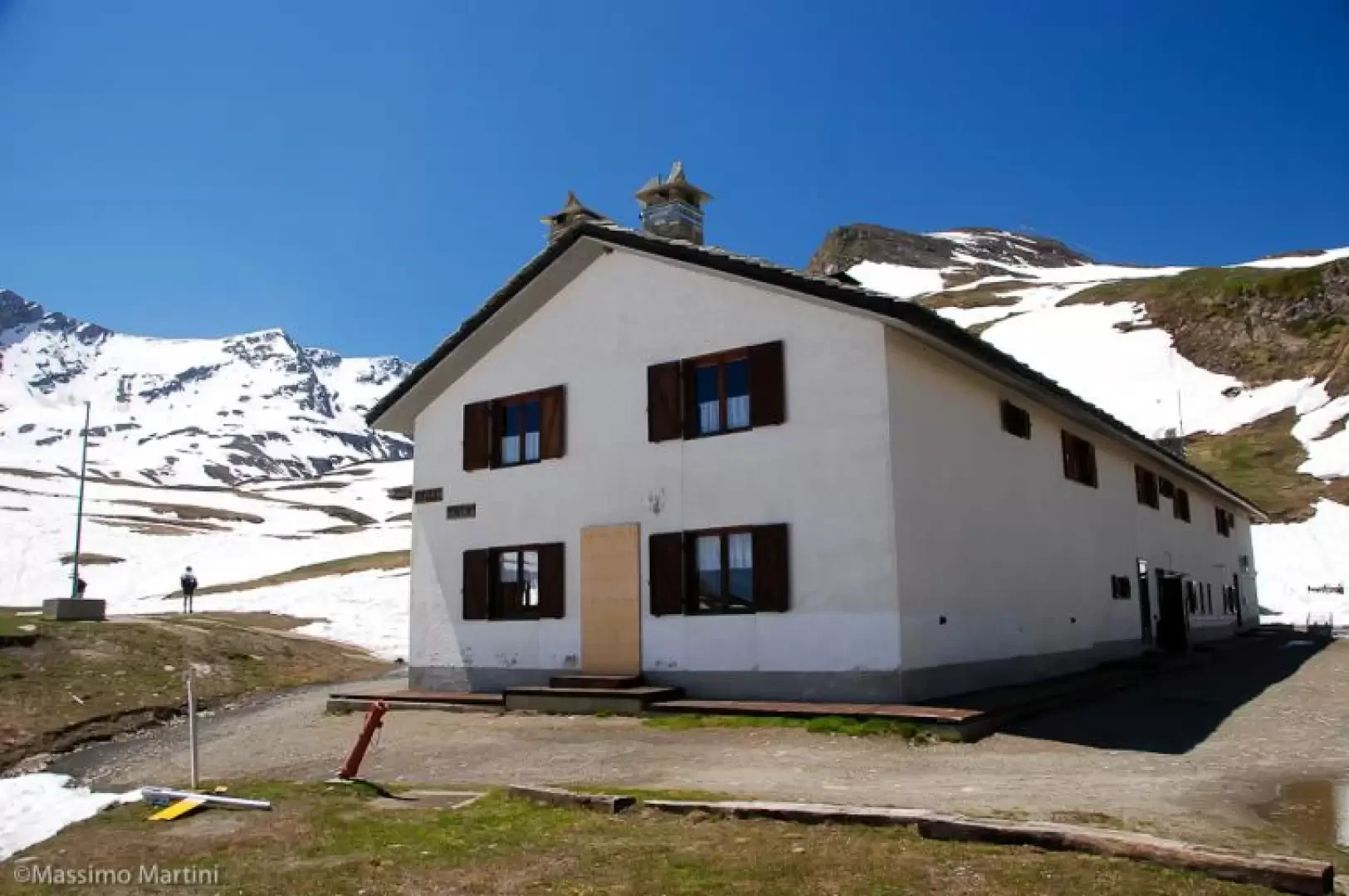
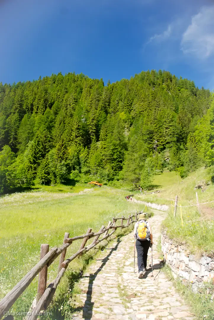
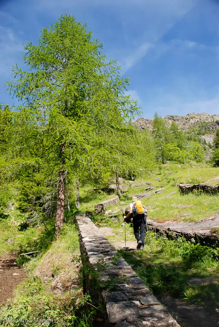
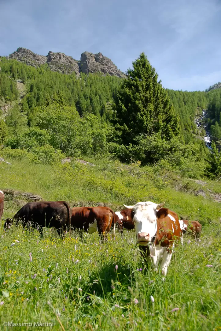
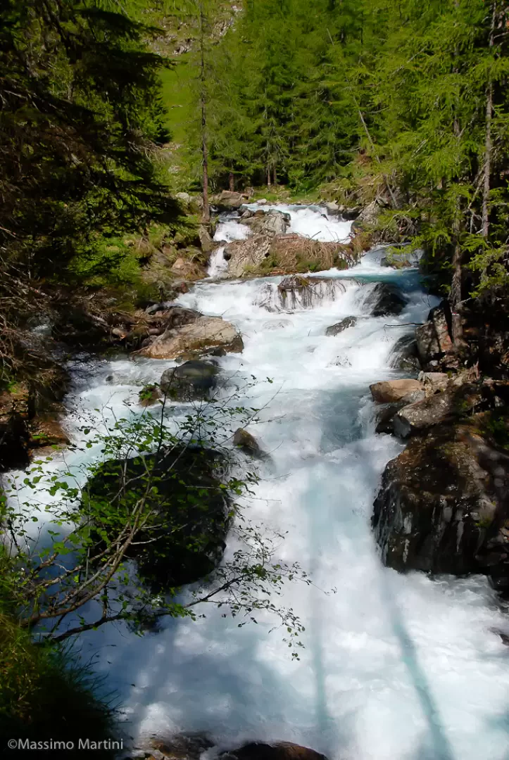
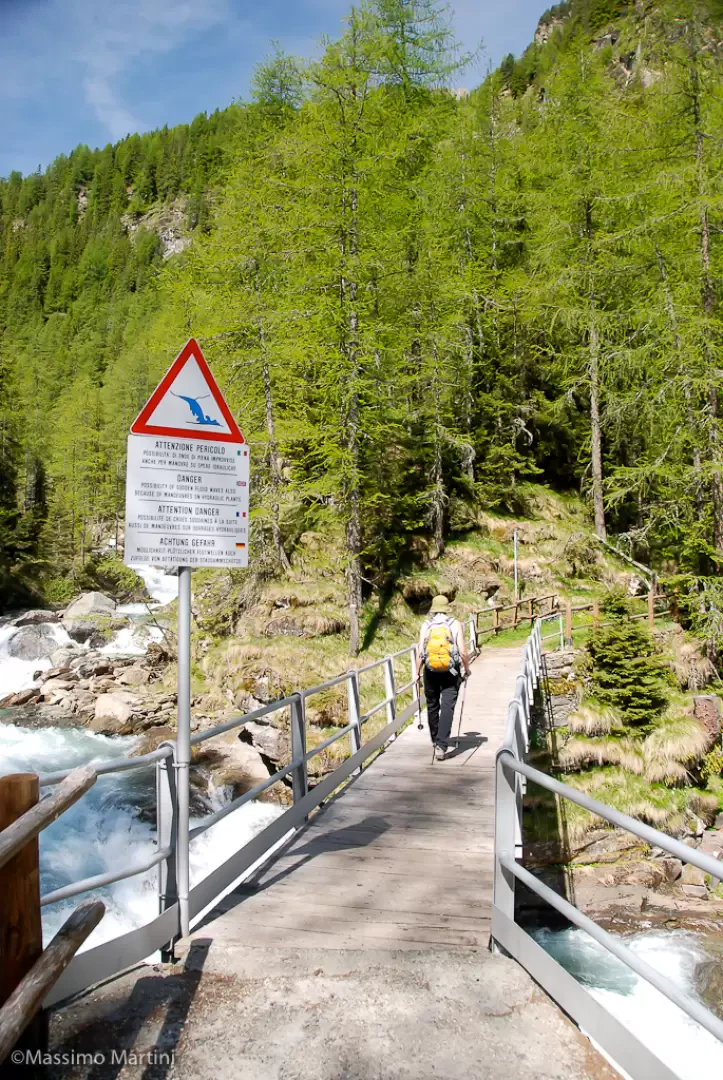
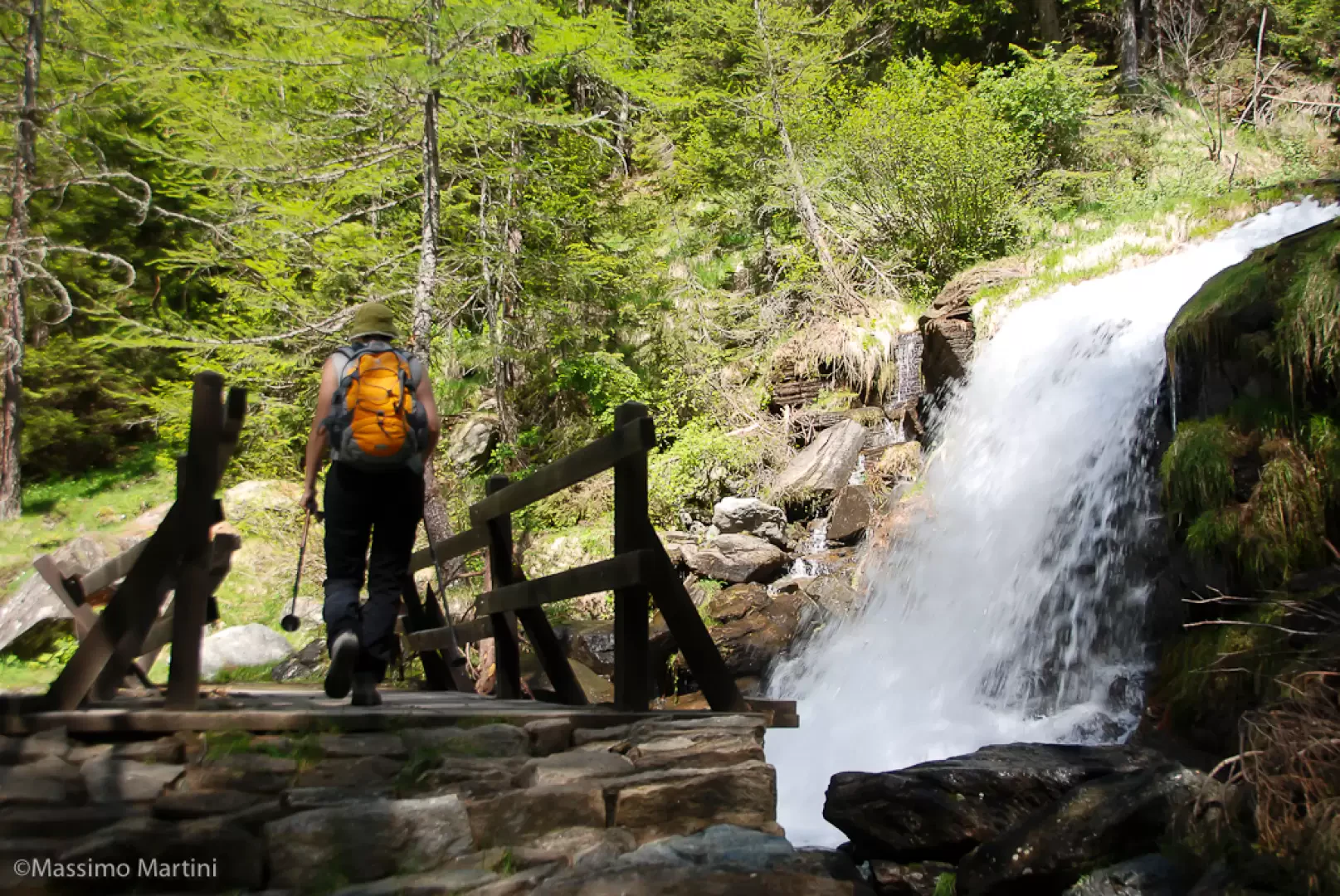
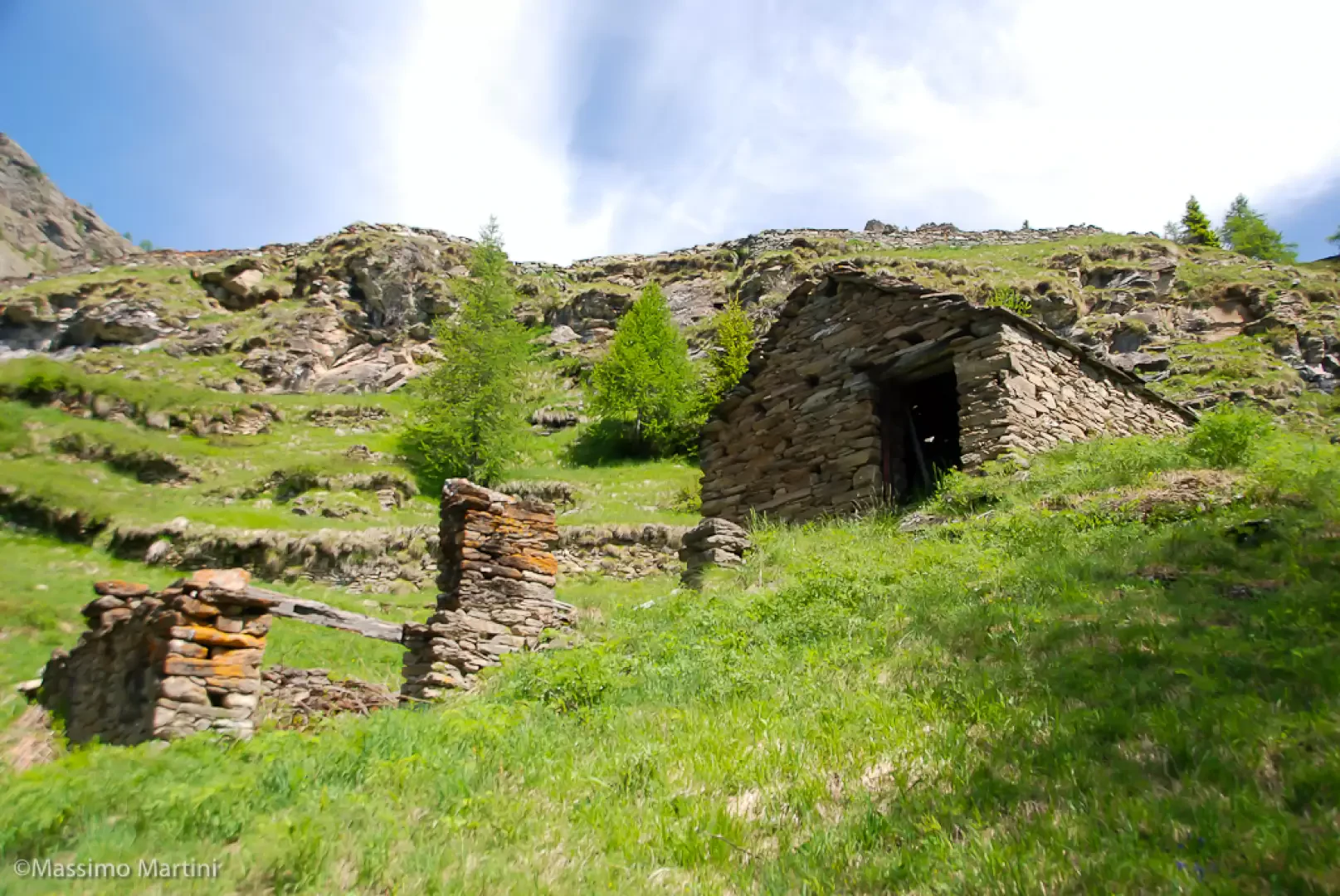
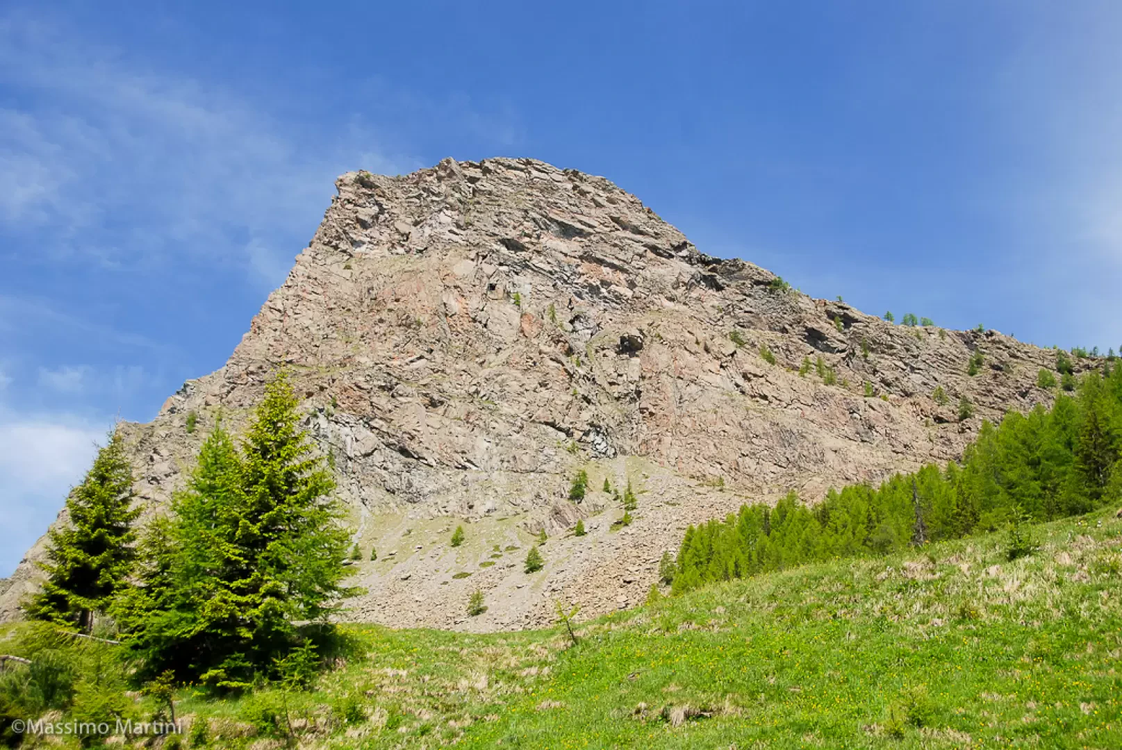
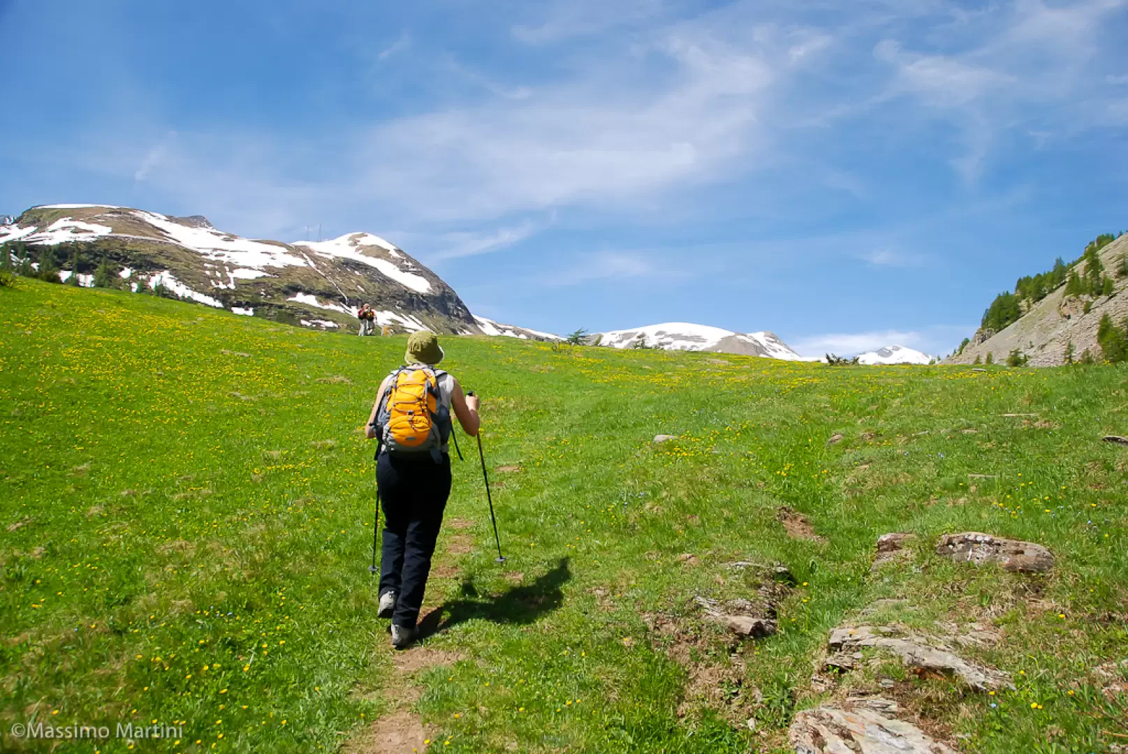
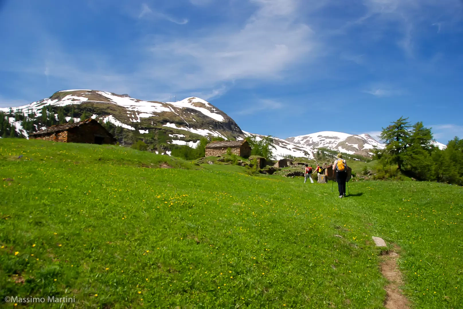
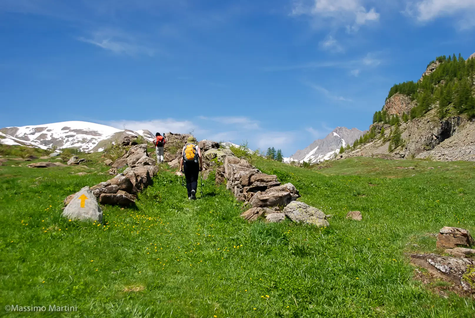
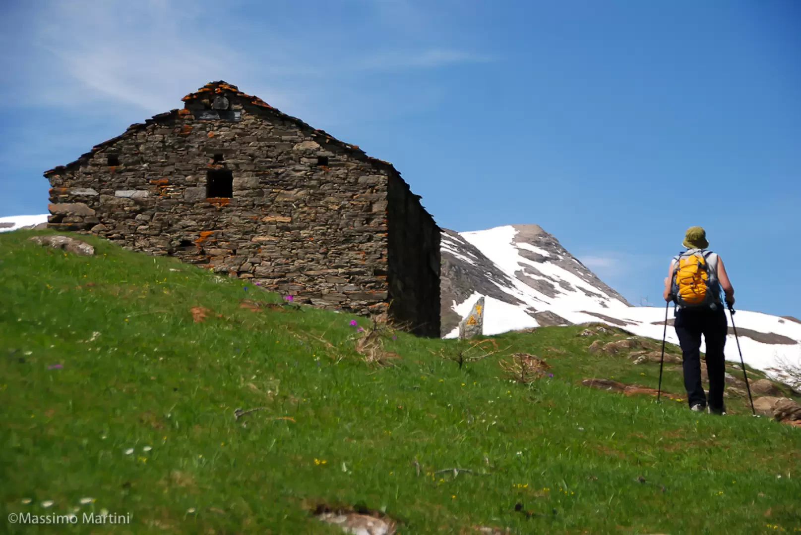
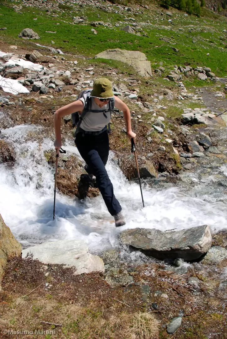
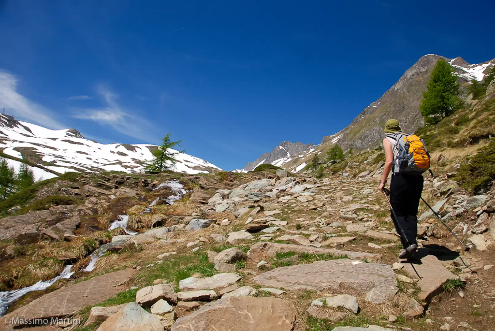
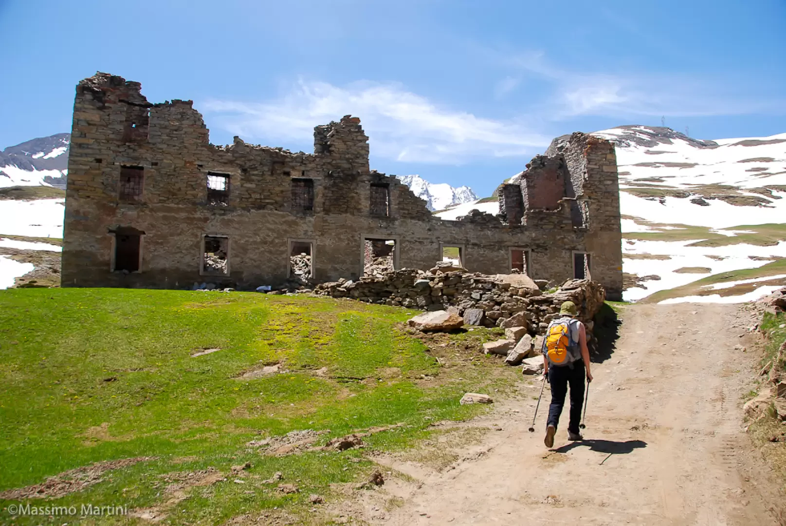
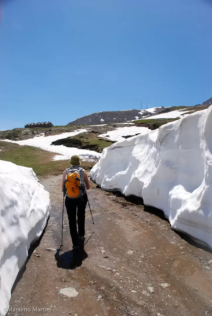
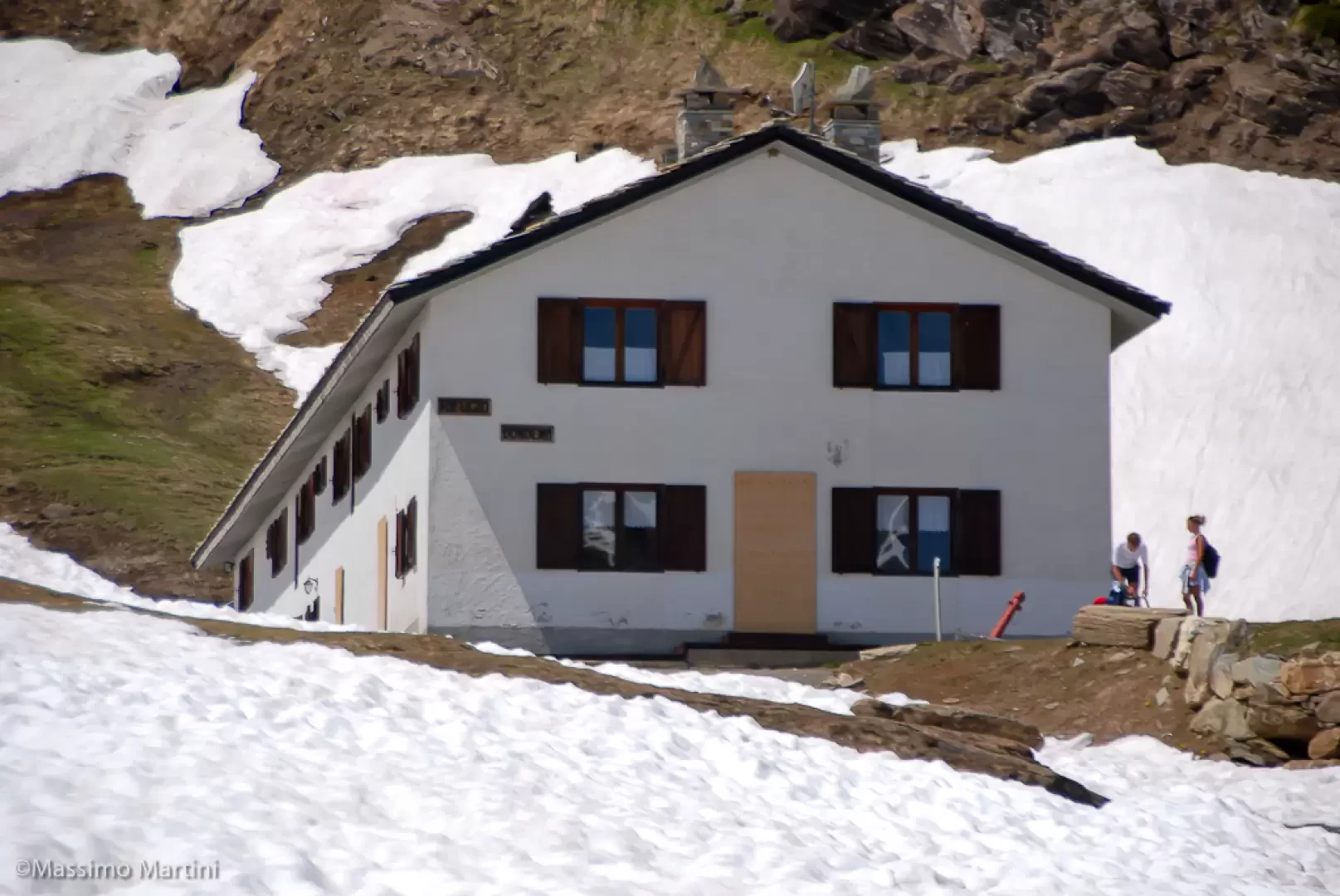
From Chardonney, cross the bridge over the Ayasse on the large, recently restored royal mule track. A little further on, it leaves a marked path on the right, "la Scaletta", which ascends the meadowy shoulder dividing the Vallone di Laris from the Conca di Dondena, then approaches the stream between sparse larches. It crosses it at Pont Ravire and continues on the orographic left bank, inside the spruce and larch woods, with some very steep and stepped passages. Continue inside the narrow valley, crossing a few tributary streams of the Ayasse, until you reach the plateau with the Creton and Brenvey alps, where the Strada Reale (1926m) also joins. Continue on the service track just below the rocky bars of the Bec de Raté and, a few metres before joining the road to Dondena, take the path to the left. This crosses the entire meadow terrace while remaining below the farm road and reaches the fertile pastures of the Conca di Dondena, dotted with numerous stone buildings. Continue on the small road, which is forbidden to traffic and climbs in two wide bends to the Dondena hut (2186m).
In una bella domenica di fine primavera abbiamo affrontato il Rifugio Dondena partendo da Chardonney.
Abbiamo seguito il percorso dell'Alta Via 2 lungo il sentiero detto delle Scalette. Una passeggiata che meriterebbe un po' più di attenzione, spesso trascurata a causa della possibilità di raggiungere Dondena direttamente con l'auto.
In una bella domenica di fine primavera abbiamo affrontato il Rifugio Dondena partendo da Chardonney.
Abbiamo seguito il percorso dell'Alta Via 2 lungo il sentiero detto delle Scalette. Una passeggiata che meriterebbe un po' più di attenzione, spesso trascurata a causa della possibilità di raggiungere Dondena direttamente con l'auto.
In una bella domenica di fine primavera abbiamo affrontato il Rifugio Dondena partendo da Chardonney.
Abbiamo seguito il percorso dell'Alta Via 2 lungo il sentiero detto delle Scalette. Una passeggiata che meriterebbe un po' più di attenzione, spesso trascurata a causa della possibilità di raggiungere Dondena direttamente con l'auto.
In una bella domenica di fine primavera abbiamo affrontato il Rifugio Dondena partendo da Chardonney.
Abbiamo seguito il percorso dell'Alta Via 2 lungo il sentiero detto delle Scalette. Una passeggiata che meriterebbe un po' più di attenzione, spesso trascurata a causa della possibilità di raggiungere Dondena direttamente con l'auto.
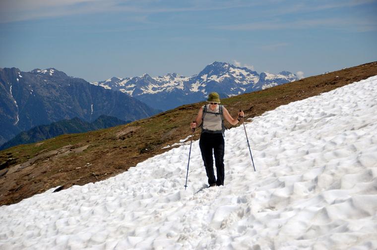
In una bella domenica di fine primavera abbiamo affrontato il Rifugio Dondena partendo da Chardonney. Abbiamo seguito il percorso dell'Alta Via 2 lungo il sentiero detto delle Scalette. Una passeggiata che meriterebbe un po' più di attenzione, spesso trascurata a causa della possibilità di raggiungere Dondena direttamente con l'auto.

Comments (0)
Sign in to leave a comment