All'uscita dello svincolo autostradale di Châtillon-Saint-Vincent, percorrere Strada Barat per circa 400m e immettersi su Via Émile Chanoux (0,7km). Alla rotonda prendere la seconda uscita su Via Robert Pellissier; svoltare a destra per rimanere su Via Robert Pellissier, poi svoltare a sinistra sulla della Valle d'Aosta (2,2km). Alla rotonda successiva prendere la prima uscita e immettersi sulla della Valtournenche. Percorrere la per 22,7km, superare le Goffres de Bousserailles, affrontare alcuni tornanti e percorrere un breve tratto in galleria (24,9km). All'uscita della galleria, raggiungere la località Les Perrères e svoltare a sinistra.
Parcheggio
Il parcheggio 🅿️ gratuito si trova sulla destra, immediatamente dopo la svolta a sinistra al bivio di Les Perrères. È il punto di partenza dell'itinerario.
Accesso con mezzi pubblici
Il punto di partenza è servito dai mezzi pubblici. Per consultare gli orari, visitare aosta.arriva.it.
Le indicazioni fornite sono state verificate alla data del rilievo dell'itinerario. Prima della partenza si consiglia di verificare possibili variazioni del percorso o delle condizioni stradali. Per informazioni aggiornate si raccomanda di consultare Google Maps o Apple Maps.
Introduction
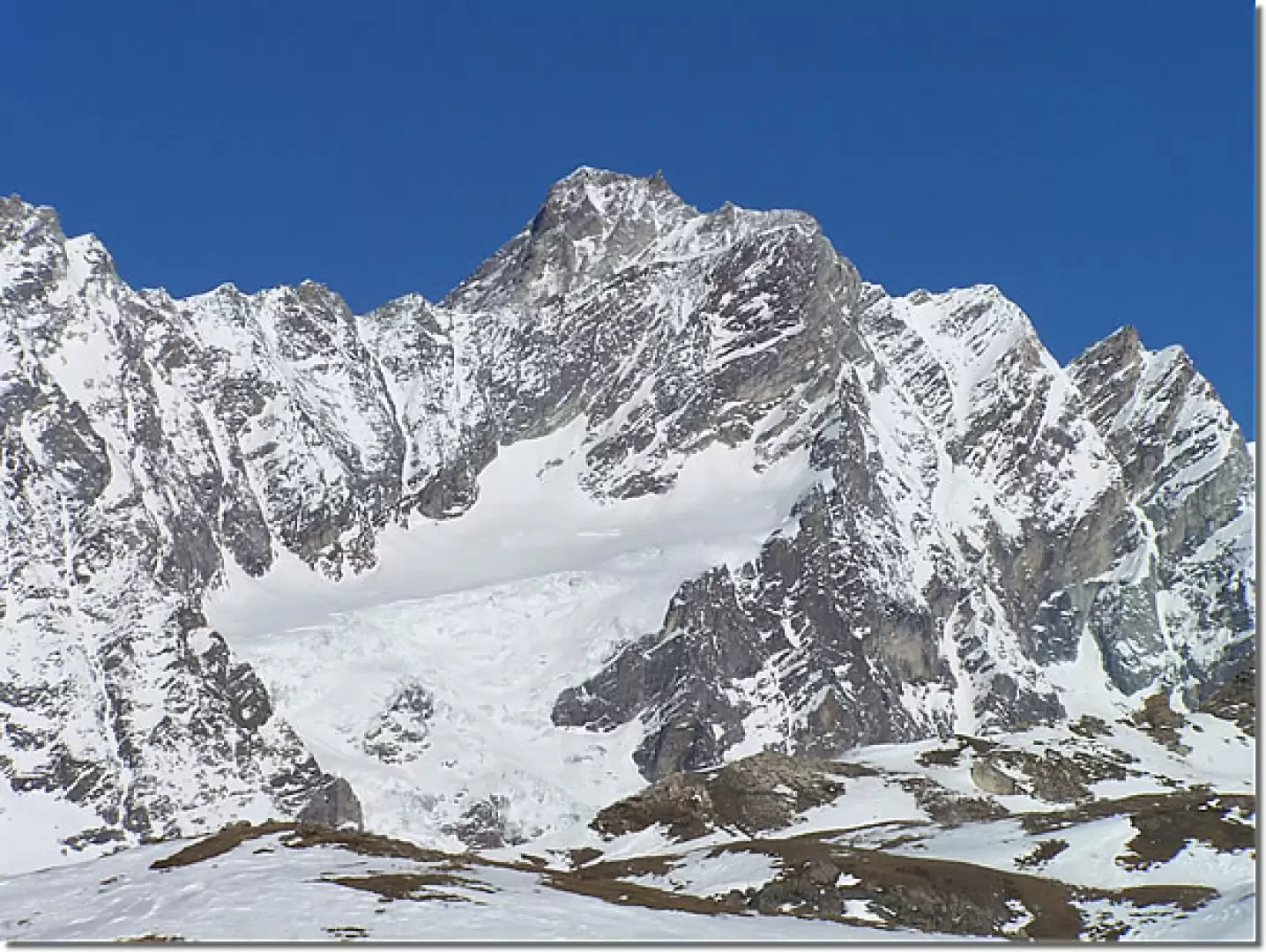
Non-demanding hike with magnificent views of the nearby Grandes Murailles and the peaks of the lower valley.
Description
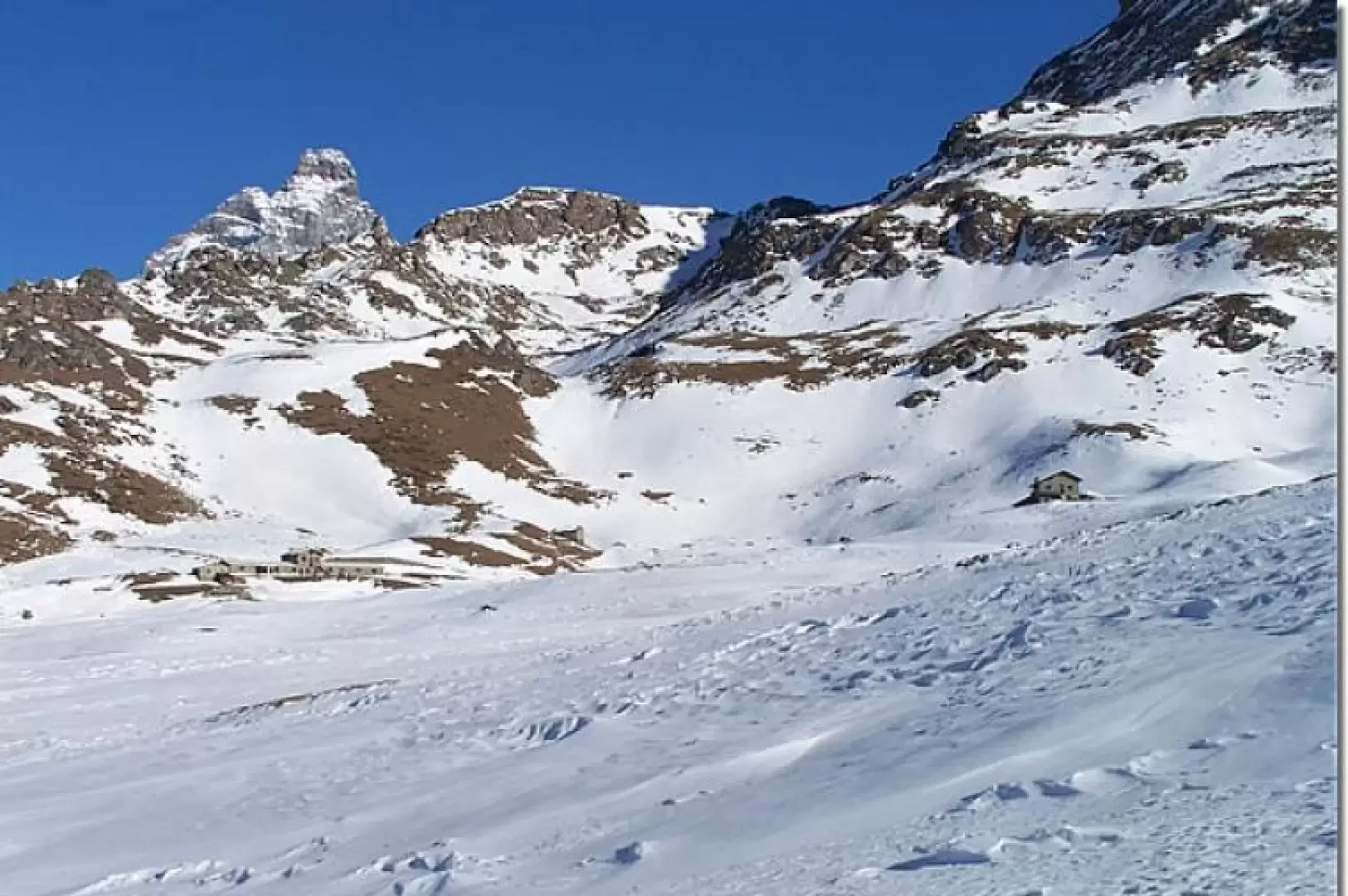
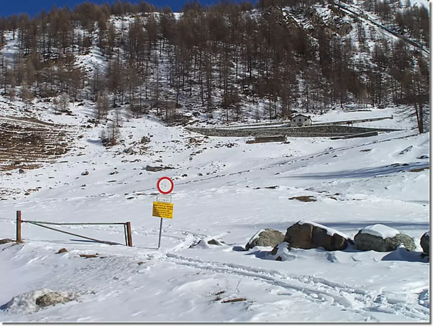
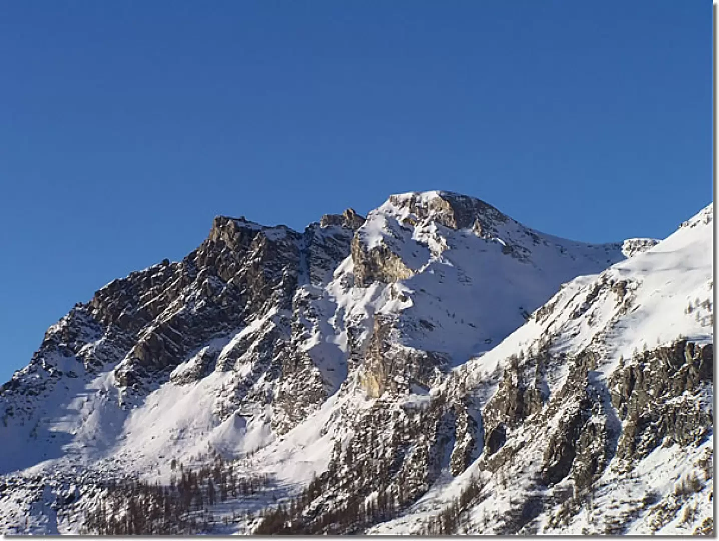
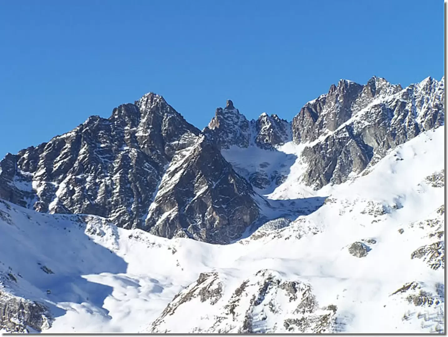
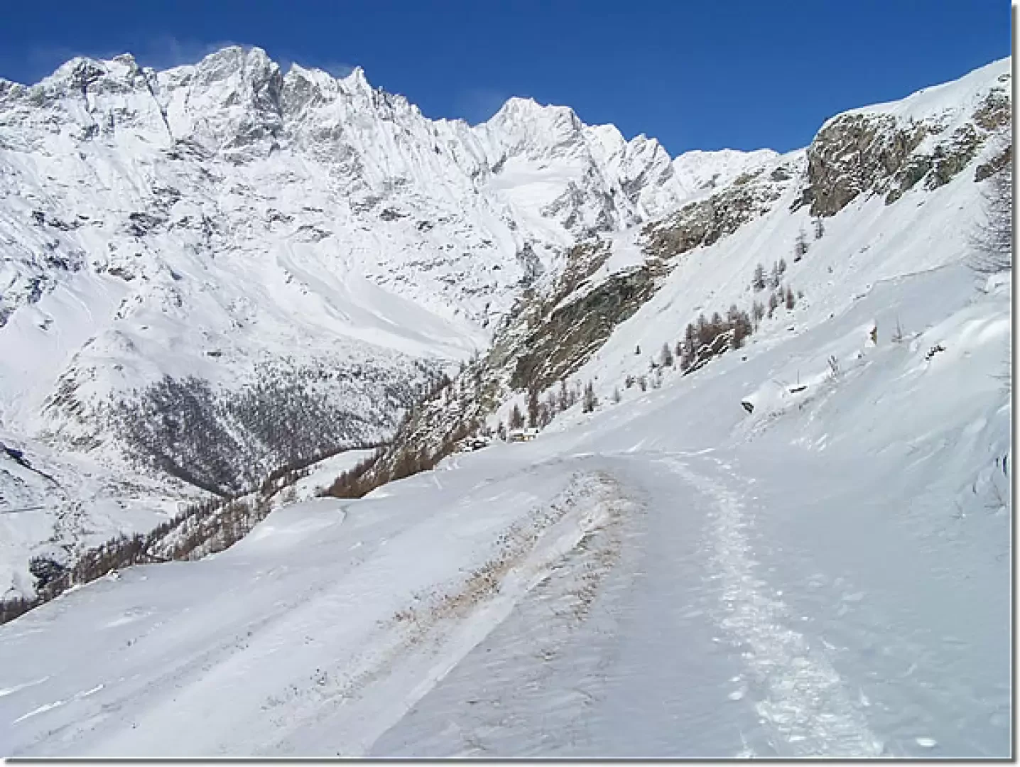
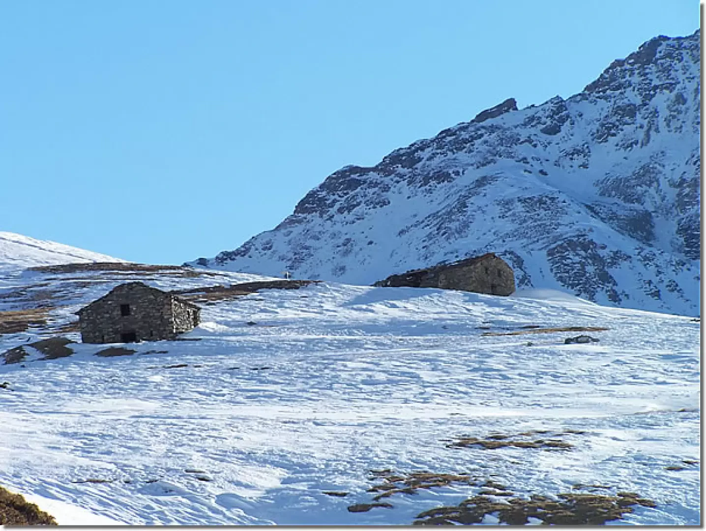
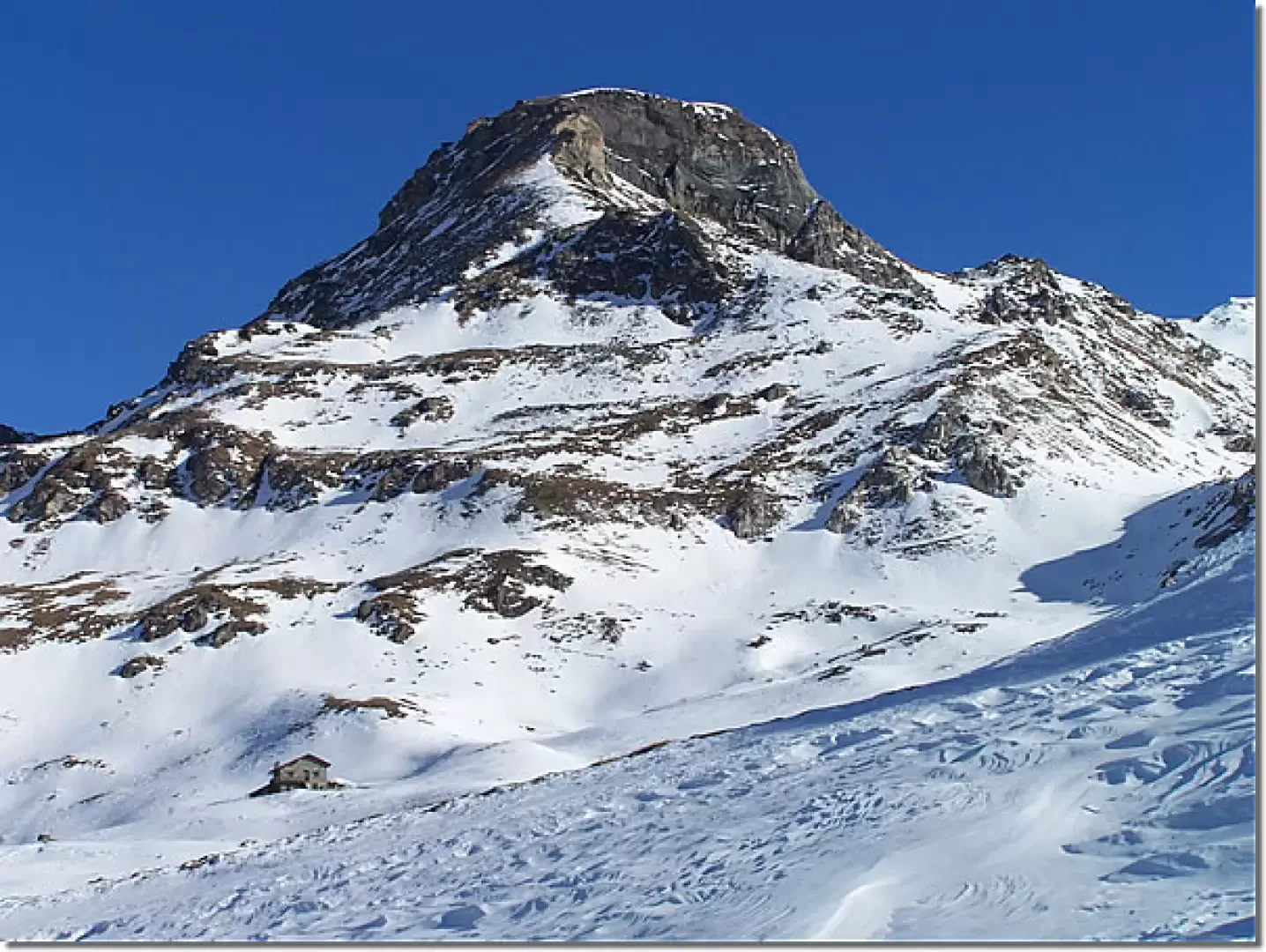
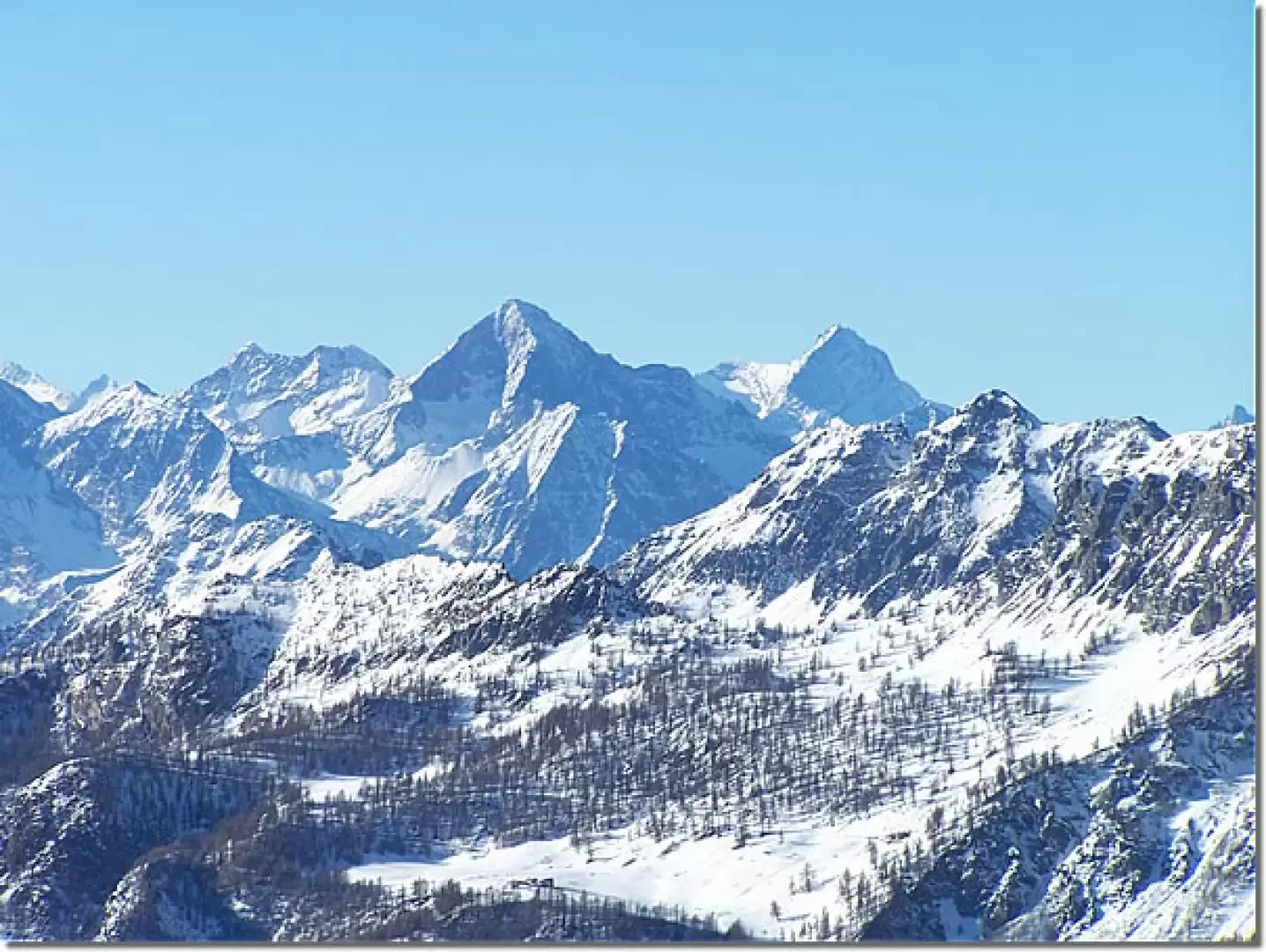
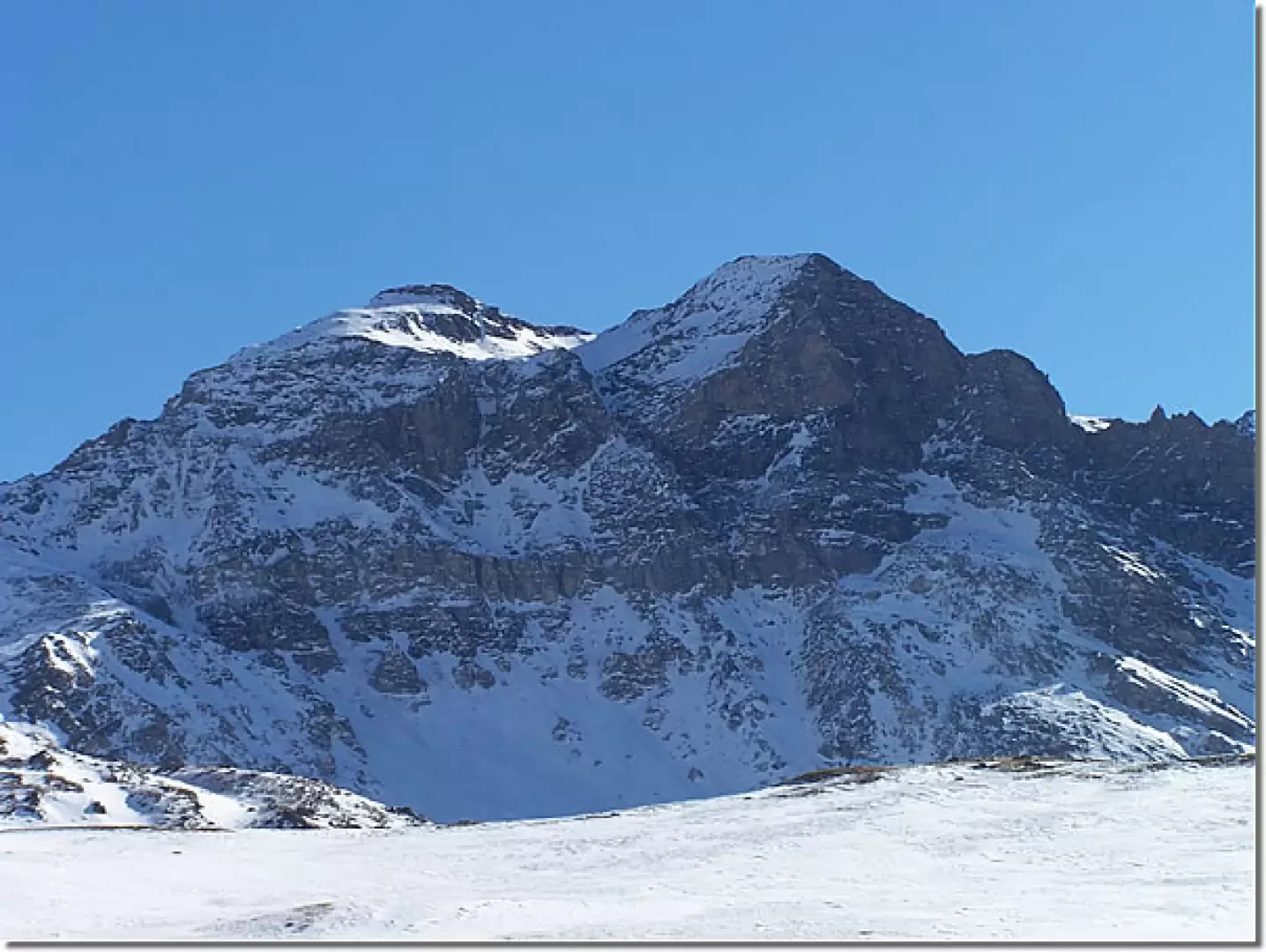
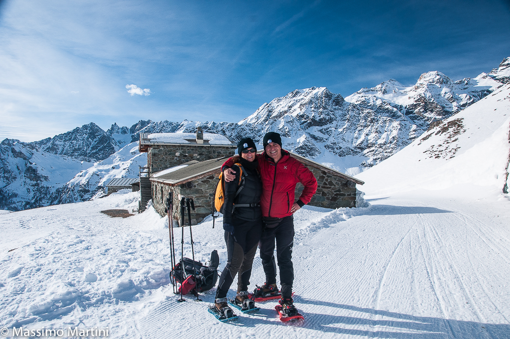
We set off beyond the barrier, also following the trace of the cross-country road, towards the mountain pasture visible just above and, after having crossed a bridge over a water conduit, we continue to climb with a few hairpin bends halfway up: during the ascent we are accompanied on the right by glimpses of Pancherot, Mont Rous and Château des Dames. After about 40 minutes you reach the plateau of the lower Manda Alp, cross it just above and start climbing again to the left, always trying to follow the track of the road, which is clearly visible in many places, thanks also to the presence of the iron protections at its edges, and between one hairpin bend and another, looking now towards Punta Tzan and now towards Dent d'Herens, you reach two huts near which there is a signpost: When you reach it, turn sharply to the left and you can see the sunny plateau at the bottom of which is the destination of the hike just below the Motta di Pleté. The panorama now sweeps over the Rosa dei Banchi, the Emilius, the Grivola and gradually turning to the right until only the summit of the Cervino can be seen. The return is along the ascent route.
Wanting to make a small digression of about fifteen minutes, you can, starting from the two huts near the pole and continuing in the direction of the Tournalin and Roisetta in front, arrive on a promontory from which you have a beautiful view of the ski area of Valtournenche.


Comments (0)
Sign in to leave a comment