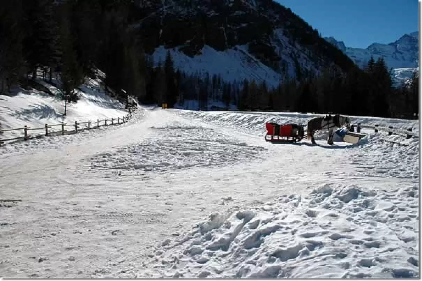
Pont de l'Erfaulet, from the Valnontey car park

Edited by:
Massimo Martini
Updated at: 07/06/2026
Access
Road navigation
At the motorway junction of Aosta West, enter the roundabout and take the second exit following the signs for / Cogne / Aymavilles. Continue on for 20.0km (20.0km) to the roundabout at the entrance to Cogne, where take the first exit onto Avenue G.F. Cavagnet (350m, 20.35km). Continue on Via Bourgeois (120m, 20.5km), then turn right onto Rue Grand Paradis. Follow Rue Grand Paradis for 2.4km (22.9km), continue on Frazione Valnontey for 210m (23.1km) and turn right to reach the car park.
Parking
At the end of the road is the 🅿️ car park in Valnontey, the access point to the Gran Paradiso National Park. Check on site for access conditions and any seasonal restrictions imposed by the park authority.
Access by public transport
The Valnontey car park can be reached by the Cogne urban circular line run by SVAP. The reference stop is Cogne Valnontey. The winter service runs every weekday and on public holidays, except 25 December and the summer period; the runs serving the Valnontey stop depart from Cogne Revettaz at 09:00, 10:05, 11:10, 12:40 and 15:00, arriving in Valnontey at 09:25, 10:30, 11:35, 13:05 and 15:25 respectively. For updated timetables please consult the timetable SVAP - Cogne Urban Line.
Distance and travel time
🕒Travel time: 35 minutes
📏 Distance: 23.5km
GPS navigation
Information note
The information provided has been verified as of the date of the survey of the itinerary. Before departure, it is recommended to check possible changes in the route or road conditions. Please consult Google Maps or Apple Maps for the latest information.
.Introduction
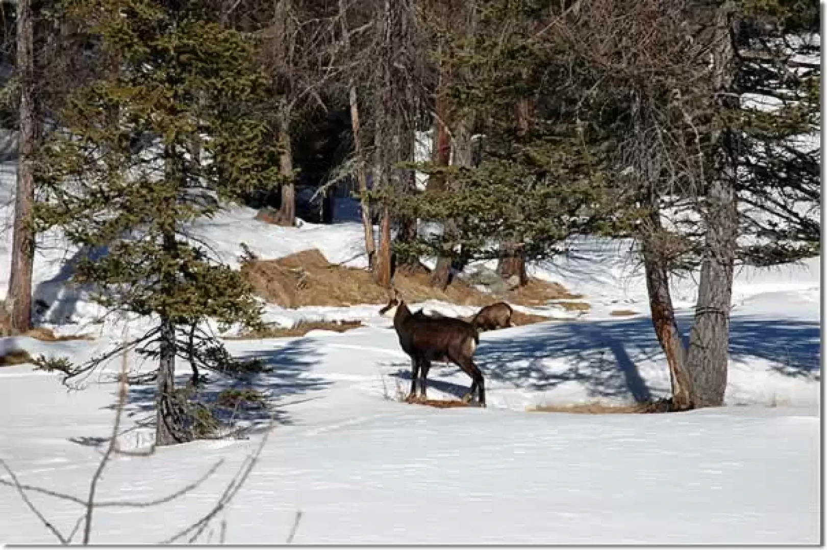
A wonderful walk in the Gran Paradiso National Park. The route is often beaten, and perhaps a little busy, but this does not detract from the fascination of getting close to the beauty of nature: it is virtually impossible not to come across a close encounter with chamois!
Description
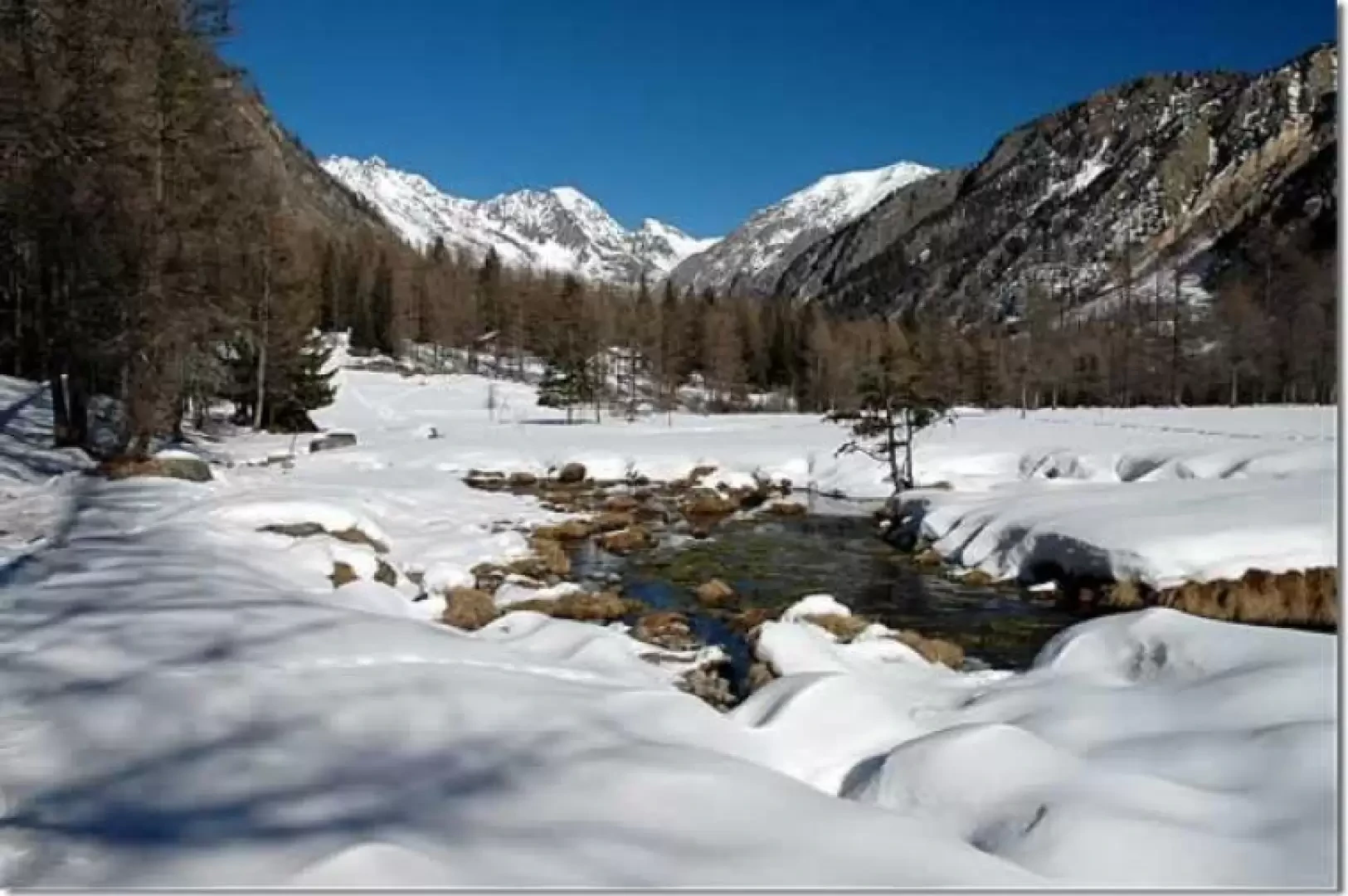
Leaving the car park, walk along a short stretch of asphalt road past the bridge leading to the other side of the valley. Continue straight on for about a hundred metres until you reach the start of the snow-covered route.
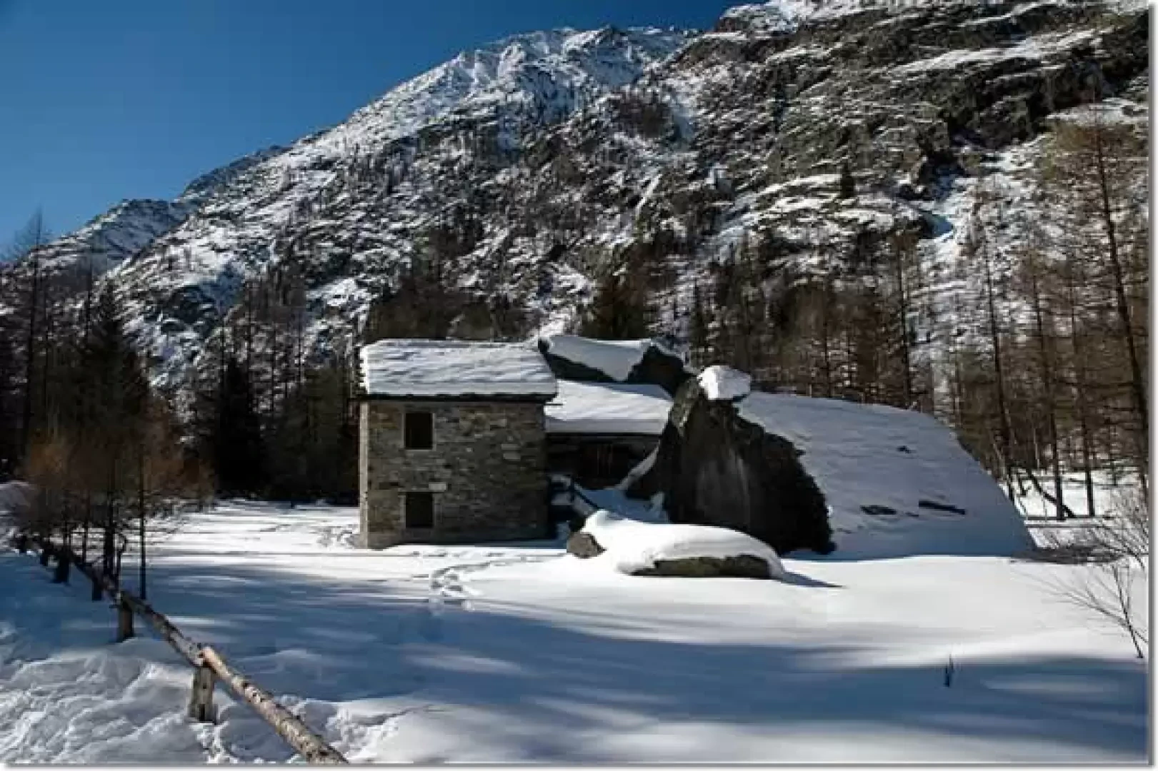
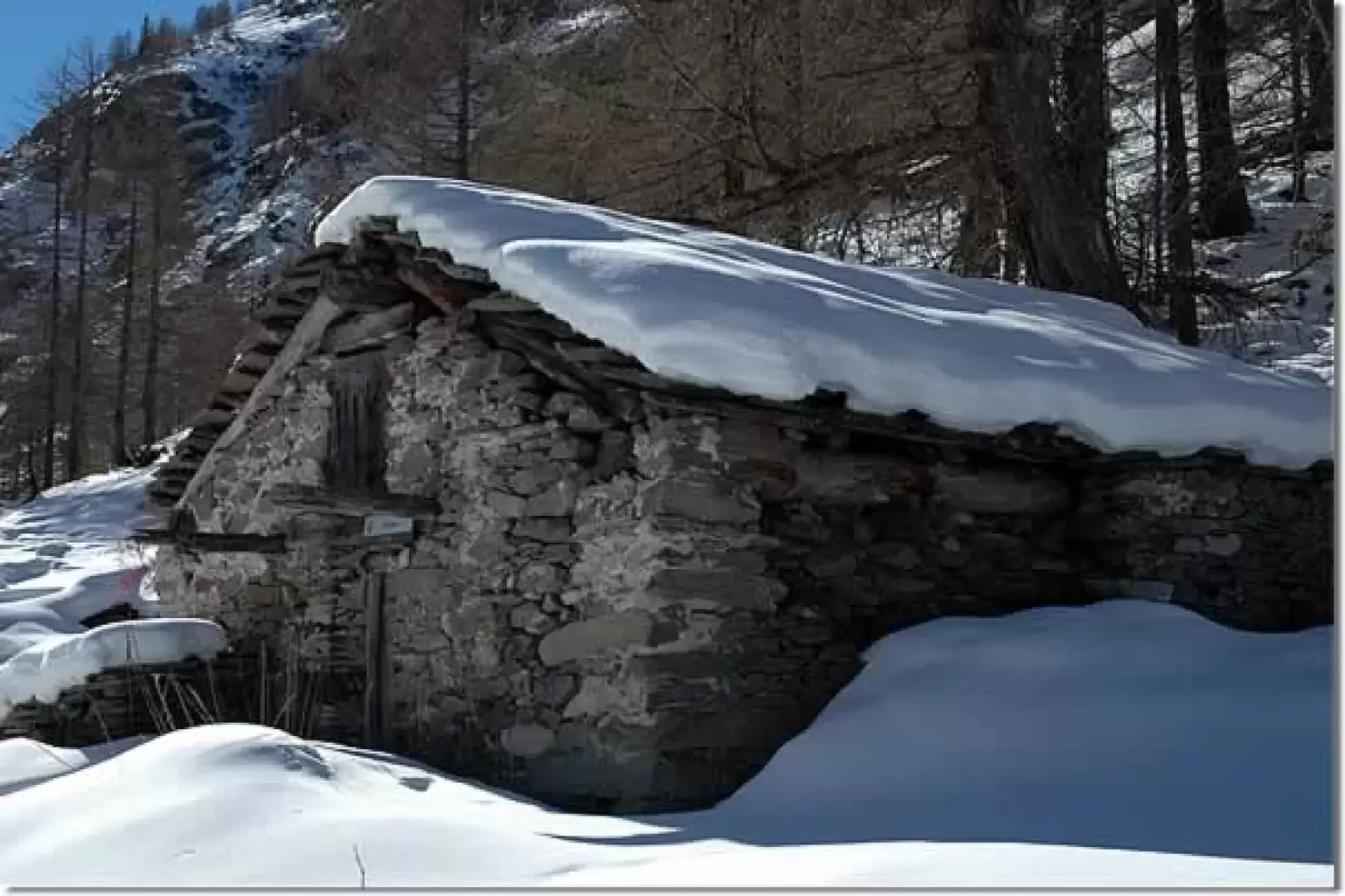
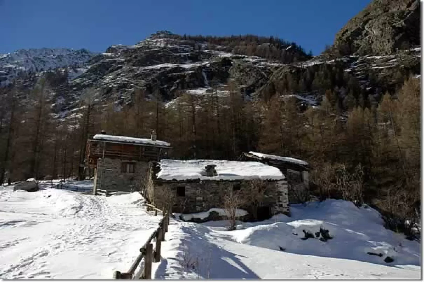
You pass a signpost indicating the various localities that you will cross along the way and begin to walk along the valley, skirting the Valnontey stream. You immediately begin to appreciate the panorama with Gran Paradiso in the background. The route winds its way along the orographic right of the Valnontey with a succession of false plains passing through patches of silver fir, spruce and larch . After about a quarter of an hour's walk, we come to a small wooden bridge, not to be crossed, and shortly afterwards the junction for Pian della Tornetta: path on the right. We continue straight on until we reach a group of cottages perched on an erratic boulder: we have reached David (1710m, 0h30'). The route continues flat until reaching a second small bridge, also not to be crossed, and, after crossing a series of large boulders adorned with snow, reaches the village of Valmiana (1738m, 0h50').
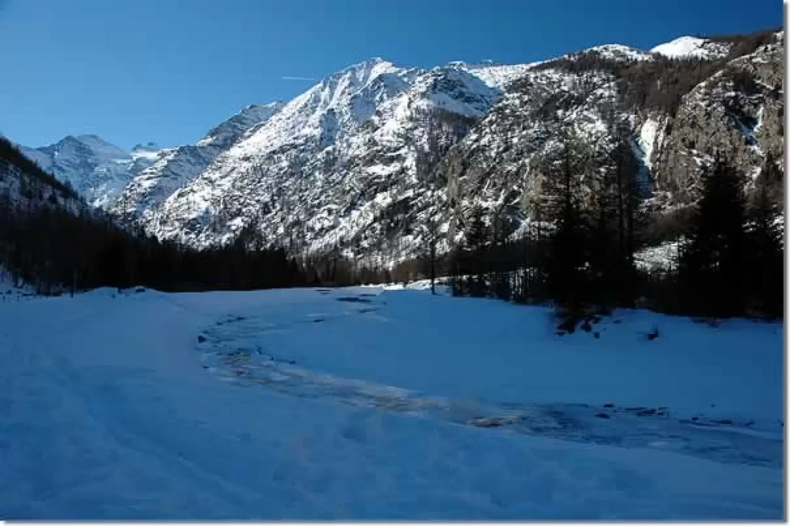
After Valmiana, the route heads close to the stream and then ascends slightly in the direction of the cross-country ski track; cross a group of larches and reach the track: follow it and soon reach the Erfeulet Bridge (1780m, 1h00').
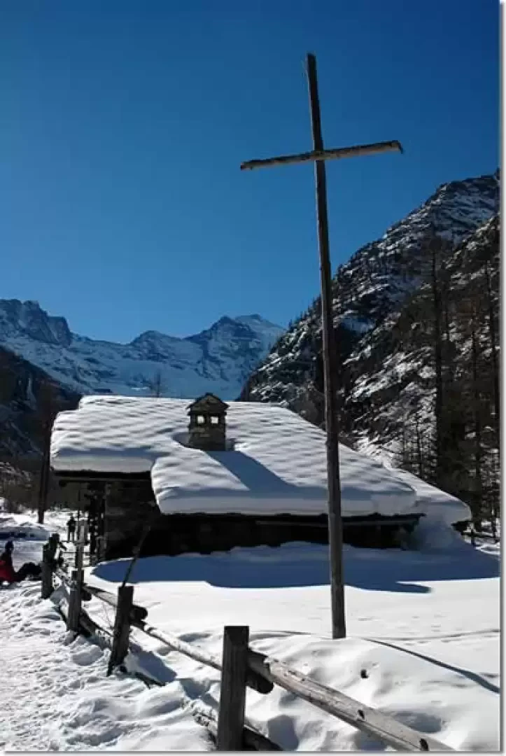
After the little bridge, the route goes to the orographic left of the Valnontey stream which we initially follow along the cross-country ski track. The path is now slightly downhill, crossing the torrent a couple of times until reaching the cottages of Fietselin (1730m, 1h20'): from here we leave the track and follow the tracks left by the "cascatisti" for the return from the imposing icefalls present along the valley. Having left the track, it becomes easy to encounter chamois in search of the bit of food that comes out of the snowpack. Walk through the forest to reach the small group of houses of Pra-su-Pia (1725m, 1h25'): descend again towards the slopes and, keeping to the left of them, reach Leutta (1711m, 1h50') and finally the Paradisia Botanical Garden (1704m, 2h10'). By now we are in sight of Valnontey, we reach the asphalted road, remove the snowshoes and descend to the car park from which we started (1675m, 2h15').
To be able to observe the animals, we must certainly move away from the cross-country ski runs: if you go even a little further into the pine forests near the cottages of Fietselin, Pra-su-Pia and Leutta, sightings are guaranteed! The usual recommendations: enjoy these encounters in silence and in a non-invasive manner... you are the guests!
Riferimenti Bibliografici
- Tracce Lievi - Martini Massimo - Martini Multimedia Editore, 2007
Galleria fotografica